Finding beauty in an unexpected place in Albany Park, Chicago
The bells of Our Lady of Mercy ring out at approximately 12:02 pm everyday. A lonely bagpiper appears, in full-garb, playing to everyone and no one. People, along with their pet cats and dogs, observe from sunlit balconies; curious. The musician stalks the shadows of the brick building next to the church, and disappears with notes from the instrument echoing long after it’s gone. My neighbor glances at me and shrugs, back to cooking meat on his mini grill, while I return to tending to my small lemon tree.
A squat woman sells paletas, pushing her cart with its bells dinging in the immediate aftermath of an intense August Derecho that rearranged all the tables, grills, and chairs on the balcony. The streetlights still glowing in the unexpectedly dark afternoon, she emerges from Sunnyside Avenue. She slowly crosses the parking lot, and as if summoned by her dinging bells, nearby children form a steady stream out of their houses to play among the fallen trees and stomp around in puddles. The sky still menacing, but they seem to not care at all. Dark and grey slowly changes to pink and purple, puddles reflecting the cotton candy color sky on the soles of their shoes. The streetlights turn off and more people reclaim the blacktop.
When the wind blows west and the screen door is open, the neighborhood fills the apartment: the smell of fresh new blacktop melting in the summer sun; the smell of fresh tortillas and sweet breads; smoke from grilled meats, weed, and cigarettes. A skateboarder catches themself before they tumble on the pavement, the near mistake being filmed by their friend. The Brown Line runs at-grade in this part of the city, and I can faintly hear the ringing of the railroad crossing gates.
Somedays there’s a procession of cars that empty into the lot with funeral tags on their dashboards, other days there’s a sea of ornate white dresses, suits, and flower bouquets. On a hot summer midday two people transform the blacktop into their own baseball diamond, their conversations inaudible, silence punctuated by the sound of leather mitts popping after each throw. Somedays folks will sit on the guard rails around the lot and drink from brown paper bags. Kids from neighboring buildings ride bicycles in circles dodging puddles and potholes. Kids giggle and shout over the deafening chorus of cicadas.
A loud “boom” and blinding light flashes through the screen door and into the living room. It’s not people setting off fireworks in the lot though, a nearby house is on fire from a transformer explosion in the alley. A stream of orange and red flames illuminate the street, and smoke billows into the night sky. A crowd gathers in the lot to watch and wait for firetrucks to arrive.
It’s 73 degrees at just after 5 pm in November. The sun has long-since set, but an LED speaker changes color as dance music echoes off the buildings surrounding the parking lot; a warm autumn evening impromptu dance party. And later in the darkness of winter, nightly around midnight, a man in red shorts smokes a cigarette. He just appears out of thin air like a specter and silently retires into the shadows of brick buildings.
A dog flops around in a thick blanket of snow during a blizzard. Snow plows and salt trucks congregate. Mountains of dirty snow and ice form a boundary around the lot in late February, while the sun does its best to melt it all away before it freezes again.
A hodgepodge of lights adorning various balconies always keep watch. There is at once routine and seemingly informal spontaneity here. People claim this space built for cars; it’s a true testament to community, diversity, inclusion, and the spirit of Albany Park residents and those just passing through. There are no parks or plazas among these blocks, so this parking lot will do.
It’s mid April and sunlight fills the Lake Michigan-chilled air. Warm and cold struggle against one another, as an unsettled breeze cuts through budding tree branches; all faintly green, pink, and white. Those bristling branches, along with the rumbling of a train and beeping of a reversing delivery truck are the only sounds you hear. You squint into the pale blue sky to the south, standing on the same brick pavers as you did all those years ago when you squinted into the orange evening sky in the heavy June air. The people may be gone, but you feel everything now just as then. You’re outside in the auto court of Commons West at UIC. It was here that the people, campus, and neighborhood became an indelible part of your identity, as an 18 year old kid moving to Chicago… specifically Little Italy, from the far suburbs. The place has changed over the years, yet it’s a time capsule in your mind. But what has your role in that change been and what does the place mean to you?
UIC in early June | Frank Kryzak
Your earliest memories of the neighborhood are of pit stops at Mario’s and Al’s with your parents en route to or from White Sox games. Hot dogs and Italian beef combos were unwrapped and eaten on the hood of the car or the trunk in the parking lot, and Italian ice was usually reserved for post-game dessert. But, your true Little Italy introduction was in the summer of 2008, on a sweltering June weekend. Dinner with your orientation group that first evening was at De Pasada, and you still remember the sunlight streaking through the windows; it was surprising how much greenery there was on Taylor St. compared to downtown. Afterwards, the sun sat low in the sky as you stood in the Commons West auto court with other soon-to-be students. Some played games, some flirted, and some stood idly by watching at the margins. At night you sat on a concrete bench somewhere near Student Center East without another person in sight; the campus was a great expanse, crickets harmonized with the faint hum of traffic and the wind ruffled leaves of surrounding trees. Lost in a peaceful trance, you completely lost track of time, risking being out past curfew. The problem was, each building was indistinguishable from the next, the diagonal walkways running in opposite directions. Panicked, you picked a walkway, and began shuffling hurriedly into the darkness.
Later that summer, armed with 10 or so cartons of Camels, you moved into the Commons West residence hall. Those first few nights were like summer camp. Unburdened and liberated, you immediately made the the greater- Harrison and Halsted area your home. The downtown skyline, illuminated like thousands of diamonds, shone through the massive windows in the recreation center, the thick air reeking of chlorine.
Commons West | Frank Kryzak
Commons West is the residence hall you called home as a freshman and your second summer as an orientation leader. It, along with its adjoining residence halls Courtyard and Commons North, are an entry point for most students who live on campus. Courtyard is where you lived the first summer as an orientation leader; an even more summer camp-like way of life. But Commons West is where you made lifelong friends, and fell in and out of love. Architecture and art students were assigned the third floor, often intermingling until dawn in the common lounge. It was a curious mix, the rigor and meticulousness of architecture colliding with the unabashed extroversion of theater.Days and nights were filled with music; you had, and still have a penchant for listening to it as loudly as possible, breaking probably a dozen pairs of headphones (and likely your ear drums) in the process. When not sending waves of music at an inappropriate volume directly into your skull, you’d use a little stereo with a docking station for your Zune(!).It’s a small miracle that you made new friends so naturally, considering your shy nature. Most nights around 11 pm you and these new friends would walk to the cafeteria for “late night”, robust meals which usually consisted of chicken nuggets and Lucky Charms. Televisions adorning the walls showed an endless loop of MTV-U music videos: Sex on Fire, Grapevine Fires, Great Expectations, Poker Face, Ready to Fall, Electric Feel, Tick Tock.
You heard Darkness on the Edge of Town for the first time in a room in Courtyard. Your friend gave you the greatest live album of all time, Live at the Hammersmith Odeon 1975 and you listened to it religiously. For Emma, Forever Ago while you trudged through the snow along Harrison. Only by the Night in the Commons West auto court. Yonder is the Clock while you walked to Ralph’s Cigar shop on Taylor to buy rolling tobacco on a warm April day; you passed Tuscany, and saw Ozzie Guillen and Harold Baines eating lunch next next to the open windows. The ’59 Sound, American Hearts, Mama I’m Swollen, The Wild The Innocent and the E Street Shuffle, and a hundred others.
The UIC-Halsted Blue line station just across Harrison from Commons West was your primary mode of going anywhere “far”. The station house was a squat building featuring brick, steel, glass, and tile. It was rusting around its edges, and complimented the soot stained, rusted, mangled chain-link fence across the street.That fence was a visual barrier between you and the, just barely out of reach, downtown skyline. You remember standing in front of the entrance with fat snowflakes falling against smoldering streetlights on that overpass with your friend on your way to see The Wrestler downtown. Snow always has a way of softening the crudeness of aging infrastructure. You would often gaze at the station while you taste-tested the surrounding neighborhood; unraveling foil and grease-splotched- sandwich paper , sitting at your cramped desk with your little lamp in the corner of your 3rd floor room.
After your second year at UIC, and in between apartment leases, you triumphantly returned to Commons West for your second summer of orientation leading. You lived in a small room with one bed, tucked away in a corner on the first floor in the shadow of a giant tree. You’d sleep in your co-worker’s room on the 4th floor, then sneak back to yours like a thief at dawn. Off days were spent lounging in that 4th floor room that wasn’t yours, the sun beating through the windows above the tree tops. Room on Fire. You spent less and less time in the small room on the first floor.
Commons West was still integral even when you lived off-campus in apartment number two. Your friend was a Resident Assistant, and you’d spend nights in his room drinking cheap alcohol and listening to Florence and the Machine. It’s not spectacular in any way, but the building holds a special place in your memory, a physical manifestation of growing into adulthood, or at least becoming an independent person. It felt like Commons West, and all of the other buildings on campus, had been there forever, stuck in time. And of course, that isn’t the case; UIC, in all of its brutalist splendor, has not only not been there forever but is an active reminder, in some ways, of the destruction and reconstruction of a neighborhood.
Although some had arrived as early as the 1850s, large waves of Italians immigrated to Chicago particularly between the 1870s and 1920s.They came to Chicago for work and settled in pockets throughout the city, with the biggest clusters around the three branches of the Chicago River near their jobs. There was a large population in the Near North Side, where Cabrini Green would eventually be built, called “Little Sicily” or “Little Hell”, but ultimately the heaviest concentration was on and around Taylor Street. Here, there were immigrants from all over Italy: Calabria, Sicily, Marche, Abruzzo, Basilicata, Toscana, Lombardia, and Romagna. The introduction of the book Taylor Street: Chicago’s Little Italy describes the identity of the neighborhood in the early and mid 20th century as a place of contradictions: “By the 20th century, the community’s duality became clear—Taylor Street was both the home to Mother Cabrini and her missionaries and hospital and the stomping ground of gangsters in the Italian Mafia, including Frank Nitti.”
Little Italy | Frank Kryzak
Little Italy was much larger before its eastern half was demolished for UIC and the Dan Ryan expressway (I-90/94). Its eastern boundary is now Morgan St., but once extended as far east as Canal St. In fact, Chicago’s first recognized pizzeria, Granato’s, was located on the southwest corner of Taylor and Peoria, on the site of what is now UIC’s Science and Engineering South building. That intersection was the setting for the acclaimed novel Knock on Any Door, which was written in 1947 by Willard Motley and later made into a movie starring Humphrey Bogart. The area on and around Taylor Street, in the early and mid 20th century was extremely crowded. Vince Romano, founder of the Taylor Street Archives, describes the neighborhood during those years:
In the evening, kids played on the streets while their parents sat on the front steps of their homes. Most buildings on my street were 3 stories high with 6 apartments. Between Halsted Street and Morgan Street were 4 pool rooms. They were legally set up as Social Athletic Clubs (S.A.C.s). The memory of playing tag on Goodrich School’s 3 story fire escapes. Goodrich School yard also served as a haven for the weekend dice games. A Chicago Police car pulled up every hour to collect their due. The annual Italian feast celebrations for our section of Taylor Street’s Little Italy “cinque petso Santa Nicolo” were held on the Sangamon Street side of Goodrich School. Hull House and Sheridan Park were the after-school institutions that helped to fill our non-school hours. During the summer, we went to Sheridan Park’s swimming pool. “Rags-a-line” was the cry of the junk man as he made his rounds through the neighborhood. He bought “rags and old iron” along with any other junk we managed to pillage from the neighborhood. The sound of rushing water filled our summer days. The sound of crackling wood in the schoolyard bonfire pierced the air of those summer nights. The Halsted Street merchants all displayed their produce in boxes on the sidewalks in front of their stores.
The school was located on South Des Plaines Street between West Polk and West Arthington Streets. Source: The Burnham Plan Centennial
By the mid 20th century much of the built environment in Little Italy was deteriorating and it became an area of focus for Urban Renewal projects funded by the federal government. Before the construction of its campus, UIC conducted undergraduate programs at Navy Pier. By the time Mayor Daley (the first one) took office, the Navy Pier campus was overcrowded and students were lobbying for a permanent location. The University of Illinois Board, civic groups, and Daley agreed to move the campus.
Little Italy, 1944: Source: the LIFE Picture Collection
In 1953, the Urban Community Conservation Act allowed for the creation of Community Conservation Boards, and Chicago’s was created in 1955. Under this act, “slum prevention” allowed the City of Chicago to take privately owned land through eminent domain. There was also an amendment to a 1947 act that allowed for the creation of Neighborhood Redevelopment Corporations (NRC) in places that were targeted as “conservation areas”. If 60% of the property owners in a conservation area approved, they could claim the other 40%.This was how local governments worked with the federal government to use public money to redevelop large portions of neighborhoods, often for private benefit. The City of Chicago used these policies to reclaim buildings in areas that they deemed to be “blighted”. In some cases the City would let its own property deteriorate which added to perceptions of blight in areas they targeted for redevelopment; a version of “demolition by neglect”. Likely, these policies were used to ensure a University of Illinois campus would remain as close as possible to downtown. In the 1950s an ordinance was passed by City Council designating 55 acres in the Harrison and Halsted area as “blighted”. An area that was largely working-class, and extremely diverse, including large populations of Italians, African Americans, Mexicans, and Greeks.
It would be irresponsible to pin the destruction or transformation (depending on how you choose to look at things) solely on the University of Illinois. An integral part of the story is the creation of the Eisenhower (I-290) and Dan Ryan expressways; they effectively formed an impervious border around the neighborhood, and literally paved the way for the new campus. Little Italy was cutoff from its surroundings yet simultaneously easily accessible to and from the suburbs. Incidentally, the neighborhood became its own island in many ways. “You can find Chicago Tribune articles calling the neighborhood a slum,” says Kathy Catrambone, co-author of Taylor Street: Chicago’s Little Italy. “I talked to many people who were here at the time, and they didn’t know they were living in a slum. They liked the neighborhood. And they really felt that they were forced out.” Catrambone says many of the neighborhood’s Italians moved to suburbs like Melrose Park, Elmwood Park and Addison. “A lot of them got on the Eisenhower and headed west.” In February 1961, the University Board accepted Daley’s offer of the Harrison and Halsted site. Since large swaths of the surrounding neighborhood were already declared Urban Renewal sites and were now controlled by the City, construction was easier and city land acquisition costs were defrayed. The federal government paid nearly two thirds of the bill with Urban Renewal funds under the Housing Act. Many neighbors and activists protested the destruction of hundreds of local businesses and thousands of homes in the neighborhood, with the most famous being Florence Scala.
People’s lives were changed forever, 8-10,000 displaced people were “deeply embittered”. They had lost the sights and smells they had always known—their smiling friendly neighbors and bustling 630 businesses, their Italian ice, and their fish markets. The “nice people”—those with money to make decisions—who pretended to be good but really weren’t, would never understand it!
Florence Scala
Despite many residents’ best attempts, construction on the new campus was imminent.
Demolition of the neighborhood and construction of UIC. Source: Chicago History MuseumAerial view looking northwest of site clearing and early stages of UIC’s construction, located adjacent to the Eisenhower Expressway (upper left and center) and the Dan Ryan Expressway (lower right). The Circle Interchange is at the far right. You can make out the outline of the demolished portion of Blue Island Ave. Source: UIC Library Digital Collections
Beginning in 1963, construction of the campus and concurrent demolition of the neighborhood around Halsted and Harrison was underway. When you think of that intersection, you remember the residence halls and some shrubbery and the highway interchange but it actually once included an entire additional street: Blue Island Avenue. It was a trail that initially led to a ridge of land that people gave the name “Blue Island” because at a distance it looked like an island in the prairie. The blue color was either attributed to atmospheric scattering or to blue flowers growing on the ridge. Blue Island north of Roosevelt, which would have cut through the middle of UIC’s present-day east campus, was quickly demolished when construction started. You think back on those diagonal walkways crossing east campus and realize that you walked along the ghost of Blue Island: starting at Morgan and Taylor and ending near the corner of Halsted and Harrison; the street may be gone but its footprint is still there, hiding in plain sight.
The ghost of Blue Island, looking northeast from Morgan and Taylor | Frank KryzakHalsted, Harrison, and Blue Island before the UIC campus was built. This would eventually be the site of the residence halls on the east campus. Source: Connecting4CommunitiesStreetcars at Halsted, Harrison, and Blue Island in 1906. Source: Chicago History MuseumConstruction of the UIC Utilities building in 1963, with buildings along Blue Island in the background. Source: UIC Library Digital Collections
The area around the Blue Island, Halsted, and Harrison intersection holds other significance; it was once the epicenter of Greektown. Greektown was just as important to you as the area around Taylor Street in those early days at UIC. Mr. Greek’s was bustling in those hours that existed somewhere between night and morning. Fluorescent lights, sticky tables, and guys behind the counter shouting out numbers while you and dozens of other revelers held tickets between your fingers impatiently waiting to be called; it was orderly chaos. The corner of Jackson and Halsted was full of neon signs, nighthawks, and 24 hour joints. But, the Greektown of 2008-10 was hardly representative of its former life. There were, and are, a handful of remnants of that former identity; but they continue to dwindle as gentrification and development in the West Loop increasingly expands. There was a two story building, with green and red accents that housed Costa’s Greek restaurant on the corner of Halsted and Van Buren; by 2010 it was a hole in the ground and is now a “luxury high rise with resort amenities”.Athens Liquor is now a daycare, spanning the entire first floor of that luxury high rise. Next door, the majority of the Parthenon restaurant is now nothing more than “for rent” signs. Near the intersection of Jackson and Halsted, a neon beacon still stands proudly: the sign for the Athenian Candle Company, which has been there since 1919. On the other side of the intersection sits Mr. Greek in all of its splendor. Across the street there used to be stiff competition, Greektown Gyros, which stood on the first floor of that old red brick building with its fire escapes hugging its soot-stained façade. That building was the home of the New Jackson Hotel, a low budget single room occupancy (SRO) hotel, which has since shuttered. Greektown Gyros is now a T-Mobile store and a blow dry bar, and those fire escapes have been removed, with the building’s façade lovingly restored. Zeus is still standing just west of Mr. Greek, but the Byzantium Greek restaurant next door is now a spa. Looking further north, the blue and white water tank with inscription “Greek Islands” still stands atop the 8 story brick building that houses its namesake restaurant next to the Athens restaurant. But, the relentless march of change continues, for good and bad: a dusty parking lot is now another gleaming “luxury apartment” building with a health clinic on the first floor, and across the street Santorini and Pegasus both now sit empty. Back at the Van Buren and Halsted intersection, the stone and glass façade of the National Hellenic Museum shines in the midday sun on what, again, was a dusty parking lot prior to 2011. The museum is a gateway to an area that is desperately clinging to its Greek identity, though many of those businesses have slipped through its grip.
Greektown in 1969, source: Chicago TribuneGreek storefront on Halsted near Blue Island in the early 1960s. Source: Chicago History MuseumAtlas Candle, candle and religious art shop in Greektown on South Halsted Street near Taylor Street, Chicago, Illinois, early 1960s. Source: Chicago History MuseumLooking northeast toward the Harrison, Halsted, Blue Island intersection in 1963 as the razing of the neighborhood was underway for the construction of UIC. Source: UICConstruction of the residence halls. Source: UICConstruction of Lincoln, Grant, and Douglas Halls looking east in 1963. Source: UIC
The irony, of course, is that the Greektown you knew was already a diluted facsimile of its former self. The one-two punch of the Eisenhower expressway and UIC construction meant the once mile-long, 24-hour collection of Greek businesses and approximately 30,000 residents was now confined to a two block stretch north of its original location. It’s difficult space to be in, at once relishing the memories attached to many of UIC’s buildings and its faux-pastoral landscapes, while recognizing the devastating Urban Renewal policies that put them there in the first place.What was once a thriving urban neighborhood full of immigrants, was now a place for students to sleepwalk through monotonous days in drab brutalist buildings. It was now a place with unfinished structures with stairwells leading nowhere, buildings designed as bizarre psychological and sociological experiments, and ones completely devoid of light and personality.
Take, for example, the Behavioral Sciences Building (BSB), which is the psychological experiment of the bunch (the most deliberate one at least). The classrooms didn’t have any windows. In fact, there might not be a window in the whole place. There were always gobs of people blocking the stairs to reach the classrooms because of the central atrium’s design. It felt like a cold, cavernous maze, but with an unmistakable energy.
BSB | Frank Kryzak
You turn left, towards the lecture centers, perhaps not psychological experiments, but still callous and imposing (which is appropriate, given their feature in the socioeconomic horror movie Candyman). They were large enough to get lost in a sea of people or to fit in multiple groups of new students during orientation while they were forced to watch wonderfully amateur videos welcoming them to UIC. They were also small enough for you to engage in all kinds of attention-seeking behavior as you were forced to endure attending a semiweekly psychology 101 class with your very recent-ex-girlfriend; oh, the cruel irony. At the time it wasn’t clear whether those mundane brutalist buildings provided you solace or accentuated your crumbling psychological state.
Then there are the classroom buildings, both new and old. Stevenson Hall, a relic of the campus’ brutalist roots, was old and falling apart. But, you think of unseasonably warm March days and having a writing class outside the building in the grass nearby. Grant, Douglas, and Lincoln Halls were a cluster of newly renovated classroom buildings with massive windows. You remember sun washed rooms in the spring of 2010 where you had a film and tv class that exposed you to Very Important works of art: Dexter, the Wire, Miami Vice, and the underrated movie, Quiz Show.
Those buildings, like their un-renovated counterparts, were attached by walkways on the second and third floors (a holdover of the campus’ original design that incorporated elevated walkways). In June 2008, the buildings were in the midst of being renovated. You distinctly recall standing in the unfinished third floor walkway amongst tree canopies for a group orientation activity, surrounded by green and blue.
Stevenson Hall | Frank KryzakGrant, Douglas, and Lincoln Hall | Frank Kryzak
University Hall, which is that hideous waffle-like 28 story building, can be seen from anywhere on campus, and seemed to be forever surrounded by scaffolding because of falling concrete. Legend has it, there was a family of Peregrine falcons that lived on the roof. You spent many afternoons in your French teacher’s office in that building, tracing the same steps from your apartment to her office, in a foggy trance multiple days a week. The newly released four songs on the Neva Dinova/ Bright Eyes split keeping you company: Come on show me where it is, cause I’m lookin for that happiness. You just want someone’s love to take you down. But the most important aspect of University Hall was the Chancellor’s office on the top floor. When you wanted to impress your orientation groups, you’d take them up there to overlook the downtown skyline. You always found it funny that you had to take a dingy second elevator one additional floor to emerge into a decidedly not dingy palace of burgundy wood and leather.
University Hall | Frank KryzakDowntown Chicago skyline seen from the top floor of University Hall, 2010. | Frank Kryzak
Further south, the library was primarily a place to cut through to get to the middle of campus from your apartment. It featured what some may consider the world’s slowest elevators. Just on the other side, the quad is a circular concrete courtyard of sorts, where there was always so much going on, it felt like sensory overload. Sometimes you were part of the chaos, other times simply a passive participant in the daily societal dance of college. You’d read (or act like you were reading), sit on the planters or benches and smoke, or just listen to music and people-watch. It was an electrifying place at times, and sometimes in the depths of frigid winter darkness, eerily quiet.
West side of the UIC Library | Frank KryzakThe quad and Student Center East | Frank KryzakUIC (Circle Campus) looking north before residence halls were built and the school was strictly a commuter campus, 1975. Also, when the campus still consisted of elevated walkways and the current-day quad was the “Great Court”. Source: UIC Archives Digital ExhibitsView northeast in 1963 showing early stages of construction of the Union Building (now Student Center East). At the top of the photograph, the rear of Hull House (at left, now Jane Addams’ Hull-House Museum) and its Residents’ Dining Hall (right, now Jane Addams’ Hull-House Dining Hall) are visible before their restoration. Source: UIC Library Digital Collections
You walk to the other side of the quad and pass underneath the elevated walkways connecting Taft, Burnham, and Addams halls. These three buildings have not been renovated and are very much in keeping with the mid-1960s spirit of the campus; everything is concrete and metal, and the narrow windows ensure as little light can reach the classrooms as possible.
Taft, Burnham, and Addams Halls | Frank Kryzak
Along Halsted, you move past the Recreation Center and Hull House, towards Taylor St. and Halsted. While it wasn’t the only “Little Italy” in Chicago, in the early 20th century, the Halsted and Taylor St. area contained about a third of the city’s Italian population, roughly 25,000 people. For many, this area was a gateway where they first settled in the U.S. Though there was a heavy concentration of Italians in the area, it was incredibly diverse as noted on a map created by Hull House in 1895 surveying the nationalities of residents between Halsted, Polk, Jefferson, and 12th (now Roosevelt). It’s hard to believe now, but this area was considered a slum in the late 19th and early 20th century. Under the headline “Foul Ewing Street: Italian Quarter that Invites Cholera and Other Diseases,” an 1893 Tribune article describes the neighborhood:
The street is lined with irregular rows of dingy frame houses; innocent of paint and blackened and soiled by time and close contact with the children of Italy. The garbage boxes along the broken wood sidewalks are filled with ashes and rotting vegetables and are seldom emptied., Heaps of trash, rags, and old fruit are alongside the garbage boxes already overflowing. The dwelling houses and big tenement buildings that line Ewing Street are occupied by thousands of Italians. Every doorstep is well alive with children and babies dressed in rags and grime, many of their olive skinned faces showing sallow and wan beneath the covering of dirt. …Some of the dark complexioned men sit around tables through the day time hours and gamble at cards or dice with huge mugs of beer beside them.
Chicago Tribune, 1893
Hull House Nationalities map, 1895. Source: Smithsonian
In response to the abusive labor practices and retched living conditions of the area’s residents, the Hull-House Settlement was created in 1889 to advocate for immigrant and workers’ rights and to foster economic, social, and creative equality. The original Hull House building was a dilapidated mansion built in 1856 by Charles Hull, and the other was built in 1905. By 1911, Hull House expanded to 13 buildings that provided places to organize, to create art and culture, build community, and reform policies. In many ways, these programs were a way to “settle” recent immigrants into their new home. Jane Addams, the founder of Hull House, is often credited as inventing the profession of social work and helping spearhead the international movement to use progressive efforts to help the poor.
Florence Scala was educated at Hull House and later volunteered there. In the early 1960s she lead protests against the destruction of the Hull House buildings for the new UIC campus. Scala ran for City Council and was a vocal critic of the Chicago political machine despite being threatened and ridiculed. She (along with another prominent Hull House supporter) even went to the Supreme Court to sue the board of Hull House for accepting the City’s settlement for the seizure of land but lost. Ultimately, the two original Hull House building’s survived and are now the Jane Addams Hull House Museum. The buildings stand in stark contrast to the hulking Student Center East building that looms behind them.
Hull House opened in 1889 on Halsted, shown here in the 1910s. The museum that stands now on UIC’s campus is comprised of two of the settlement complex’s original thirteen buildings, the Hull-Home and the Residents’ Dining Hall Source: Chicago TribuneHull House and the surrounding neighborhood. Source: Taylor Street ArchivesStudent Center East behind the Hull House Museum | Frank KryzakAlley near Hull House in 1910. Source: Encyclopedia of ChicagoHalsted, from Taylor prior to UIC being constructed. Source: Connecting4Communities
A few blocks south of the Hull House Museum are the James Stukel Towers and other residence halls on UIC’s south campus. They always felt more posh, like they were part of a different school altogether, which makes sense considering south campus is much newer than the original UIC campus. You made infrequent sojourns there, and occasionally further into Pilsen, when you found reason to break the seemingly impenetrable wall that was Roosevelt Rd. Those nights consisted of stumbling back to your dorm room from frat parties in a dingy basement on Cullerton.
UIC’s South Campus before the completion of the James Stukel Towers and UIC Forum. This is the exact photo that drew you to the idea of attending UIC and moving to Chicago. Source: UICJames Stukel Towers | Frank Kryzak
When you did venture south, the lingering smell of caramelized onions and mustard would beckon you to a small Polish sausage stand, Jim’s, like a moth to flame. A festival of people would often spill out into the street. The orange lights on Union Ave. and the hum of traffic on the expressway created a strangely serene atmosphere. It was customary to eat standing up, or rather slouching, with your elbows resting on the metal counter attached to the outside of the building. The other options were sitting on the edge of the circular planters outside the entrance to the James Stukel Towers or simply the curb. It was open 24 hours a day, every day. You were there for 70 cent Polish sausages celebrating their 70th birthday. Jim’s was founded at the corner of Halsted and Maxwell in 1939 by James Stefanovic, and claims to have invented the Maxwell Street Polish sausage. Stefanovic’s son, Gus, took over after his father died in 1976, and the business continued to thrive in the middle of the Maxwell Street Market. But, like many businesses in the area, Jim’s was forced to move during the expansion of UIC. It first moved in 2001, across the street from the original location, and then in 2005 it moved around the block to its current one. A vital portion of Jim’s continued success is due to the UIC student population; the very thing that drove Jim’s and many other businesses from the Maxwell Street area in the first place. And now UIC, the owner of the building, recently forced Jim’s to close between 1 am and 6 am because of “crime”, thus damaging its all-night customer base. The irony being that the stand was originally open 24 hours for the precise reason of not getting burglarized overnight. Nowadays, Jim’s is run by Jim Koutrotsios, who started working for Jim’s in 1983 and still oversees it. The stand may be a relic of a different time and place, but it is also still undeniably a critical part of the fabric of the neighborhood – bridging the gap between past and present. You continue south, past Express Grill (a competitor to Jim’s which was also its neighbor on Maxwell Street), rows of identical residential garages, and UPS trucks parked underneath the towering highway. It’s an unremarkable site for an area that, turns out, has a remarkable history.
Jim’s | Frank Kryzak The original Jim’s stand at Maxwell and Halsted. Source: Pinterest
Maxwell Street was built around 1847, originally as a wooden plank road that ran from the south branch of the Chicago River west to Blue Island Ave. The original houses along the street were built by Irish immigrants who moved to Chicago to construct railroads and the Illinois Michigan Canal. The area around Maxwell Street continued as a gateway for people moving to Chicago from all over the world, including: Greeks, Bohemians, Russians, Germans, Italians, African Americans, and Mexicans. Starting in the 1880s, the area became predominantly populated by Jewish Eastern European immigrants, and remained that way until around the 1920s. A bustling impromptu outdoor market started in the late 1800s, and was officially sanctioned by the City of Chicago in 1912. Roosevelt marked the northern boundary of the market and 14th Street the southern, with it extending to multiple streets to the east and west of Halsted, and the intersection of Maxwell and Halsted the epicenter. It was initially an outdoor produce market, modeled after Jewish open-air markets, but would become much more diverse starting in the 1920s.
Residences on South Jefferson Street and West Maxwell Street in 1906. Source: Chicago History Museum
In the the early and mid 20th century, the market offered immigrants, poor people, and people of color the rare opportunity to shop freely and comfortably. Sometimes referred to as the “Ellis Island of the Midwest,” it was a unique environment where people of all backgrounds and ethnicities mingled. Of course there was another incredibly important aspect to the Maxwell Street Market: the Chicago Blues, which was popularized by artists like Muddy Waters and Howlin’ Wolf. Blues became an integral part of the Maxwell Street Market experience, with shop owners encouraging the musicians and even providing them electrical power for their equipment. Maxwell Street was also the home of Vienna Beef, which first debuted at Chicago World’s Fair in 1893, was founded by Austrian-Hungarian immigrants Emil Reichel and Samual Ladany. They opened their first shop at 1215 S. Halsted, where they’d remain until 1970, making their famous sausages. Maxwell Street became the largest open-air market in the US, taking up roughly nine square blocks. It was a brilliant free-for-all with purveyors selling everything from clothing to car parts to socks and fresh vegetables. The aging UIC historian that would speak at every UIC orientation would repeat the same joke every day, “on Maxwell Street you could buy back hubcaps on Sunday that were stolen from you on Thursday”, the bit was always a big hit with the oncoming students, and there definitely seemed to be a bit of truth to it.
Blues bands on Maxwell Street were a common sight and sound. Source: ElectrifiedBlues musicians on Maxwell Street. Source: The EconomistMaxwell Street in its heyday. Source: Chicago TribuneGrand opening of the Vienna Sausage Company store in 1894. Source: Vienna BeefAn eclectic array of products could be found at the Maxwell Street market, 1974. Source: Chicago Tribune
The street itself began to shrink in 1926, when the south branch of the Chicago River was straightened and new railroad tracks were built along its west bank. In 1957 the construction of the Dan Ryan Expressway cut Maxwell Street in two and forced the market west of Union Ave. Then, after the Barbara Jean Wright Court Apartments were built and UIC began expanding south of Roosevelt, the street essentially disappeared, except for a block on either side of Halsted.
The once thriving Maxwell Street, reduced by a new freeway and a university expansion, was a ghost of a neighborhood when this photo was taken in January of 1982. Source: Chicago TribuneHalsted and 13th looking northeast, 1981. Source: UIC Library Digital Collections
Today, as you walk to Maxwell Street, the market is long gone, replaced with brick pavers, restaurants, bars, UIC offices, and a parking garage. Statues that seem frozen in time dot the sidewalk, mourning the loss of what once was: a lady holding a bag of groceries on a bench, a man hawking produce, a stack of crates, and, of course, a blues musician. The building facades give an impression of what the area looked like in the past. In fact, most of the them were preserved when UIC razed four blocks of buildings to create University Village. Many are over a century old, and some significantly older, for example the façade at 731 W. Maxwell is from an Italianate building completed in 1876. In the years following the construction of UIC’s east campus, many of the buildings in the Maxwell Street area were deteriorating. The university was granted “eminent domain” powers by the State of Illinois to develop blocks of land along Halsted, south of Roosevelt. Buildings were razed as a result and the area was designated “blighted” by the City, which would lead to it eventually being almost entirely redeveloped to the point where its identity would completely disappear in the name of “urban renewal”.
Maxwell Street | Frank Kryzak
UIC initially wanted to demolish every storefront from the old Maxwell Street Market area. But, a small group of activists banded together and created the Maxwell Street Historic Preservation Coalition (now named the Maxwell Street Foundation). Although they couldn’t keep the Sunday market in its original location (it was first relocated to Canal and now exists as a much smaller market on Desplaines in an area now dominated by industrial low-rise buildings and parking lots), they did convince the City to persuade UIC to save some of the buildings and facades. Preservation advocates initially wanted to save 40 buildings, but UIC claimed that everything west of Halsted needed to be razed. The coalition proposed a compromise which included moving 10 to 15 historic buildings from the west side of Halsted to the east, where they would be placed in vacant lots to restore the streetscape. That didn’t work either, and eventually UIC came back with a final offer: they would keep and restore a grand total of eight buildings along the east side of Halsted, and facades from 13 to-be-demolished buildings would be relocated to new commercial buildings along Maxwell.
So, as you walk along Maxwell east of Halsted, the historic character of the built environment is a slight illusion. You feel the history of the place because of the old facades, but it’s slightly disingenuous. Can a place remain authentic when most of it has been gutted and demolished with only aesthetics remaining? All those years ago you were oblivious; you’d order breakfast sandwiches from Caribou Coffee (now a Starbucks), browse for books at Barbara’s (no longer there), and eat massive sandwiches at Lucky’s (now Phlavz Bar & Grille) and think nothing of it. Perhaps, the great irony is that none of those businesses even exist there ten years later; the total erasure of 100 years of unique authentic urban culture in service of creating University Village, a sanitized version of urban life, has led to nice condos and struggling retail.
Maxwell Street statue | Frank Kryzak
South of Maxwell, the sidewalks always seemed newer, the townhouses impeccably-kept. The wrought iron fencing and faux vintage street lamps landed somewhere between upscale suburb and historic college town. The rusted and graffiti-riddled viaduct at 16th loudly broke the illusion of insularity, and was a gate to another world (Pilsen). You turn right and walk west along 15th, tracing the shadows of tall brick buildings checkered with balconies and more wrought iron fencing.There are yellow and white daffodils and multi-colored tulips peppering perfectly manicured grass. You turn west and come upon white, industrial looking buildings also with dozens of balconies. More flowers and more iron fencing.You reach Morgan and come face to face with the faded “University Village” mural that features historical neighborhood figures in orange and pink tones against a bright blue backdrop. It was painted on a dilapidated concrete embankment, with one side having fallen apart at some point. Further along Morgan, there are a peculiar set of white, terra cotta clad buildings emerging from behind a wall of trees. They’re distinct from the other townhouses and brick residential buildings in University Village.
Wrought iron fencing and faux vintage street lamps | Frank KryzakBalconies on Balconies | Frank KryzakUniversity Village mural with an old South Water Market building in the background | Frank Kryzak
Turns out, these buildings, now named “University Commons” were once the home to the South Water Market. South Water was the city’s wholesale produce market originally located on the Chicago River’s main branch. In an effort to continue to beautify downtown, the market was relocated in 1925 to the area between 14th Place just south of Maxwell Street and the 16th St. Baltimore and Ohio Chicago Terminal rail embankment. It became one of the busiest produce markets in the country, with eight square blocks of buildings, 166 wholesale stalls, and commission houses. The market warehoused and distributed daily produce and food products to neighborhood markets, restaurants, and residents. It also distributed perishable commodities to markets in cities throughout the Great Lakes region. By the mid 20th century, the market began a slow decline but remained operating until 2001. A few years later, the buildings were added to the National Register of Historic Places.
South Water Market looking west. The high rise ABLA public housing buildings that have since been demolished are visible in the background. Source: John Chuckman
Heading back north and then west along Roosevelt, St. Ignatius College Prep and the adjacent Church of the Holy Family preside over the south side of the neighborhood. The gothic revival church (1860) and the second empire-style college prep building (1870) were both built prior to the Great Chicago Fire. You’re reminded of when you and your friend snuck into the campus athletic fields late one night, the Hogwarts-like college prep building casting an enormous shadow over the artificial turf. Further west, you pass a mixture of vacant lots, parking lots, and mid-2000s architecture; mostly three story apartments and townhomes. These newer buildings replaced some of the land that was left vacant after the demolition of the Jane Addams Homes; and now this part of the neighborhood is like a smile with missing teeth. The Jane Addams Homes were a part of the larger ABLA Homes public housing project, which consisted of three other housing projects nearby. These buildings comprised the first public housing project in Chicago, and were designed by John A. Holabird, Jr., who was the lead architect for some of Chicago’s most important skyscrapers. Built in 1938, the Jane Addams Homes consisted of over 1,000 units spread across 32 low-rise apartment buildings and 52 rowhouses. Most of the first residents were Italian and Jewish families from the surrounding neighborhood. At its inception, in order to “maintain the existing racial composition of the neighborhood”, the complex was segregated and African Americans were allowed to live in only 3% of units in a particular area.
The segregation of the ABLA Homes didn’t last long, because in a short span of time (as has proven to be the case with public housing in the U.S. in general) its residents had become majority black. The neighborhood’s demographics at this time were changing, for example in 1940, US Census tract 429 (bounded by Polk on the north, Loomis on the west, Roosevelt on the south, and Racine on the east) was 96% white and 3 % black, by 1960 it was 43% white and 57% black. On July 12, 1966, the intersection of Roosevelt and Throop (which is within Census tract 429) became infamous. Kids from the nearby ABLA homes were playing in open fire hydrants to cool off from the summer heat, because their buildings didn’t have air conditioning and they weren’t welcome at nearby neighborhood pools. After police shutoff the hydrants and arrested someone who reopened them, a crowd grew and a conflict broke out with the police. This event helped spark three days of intense civil unrest on the West Side made even more nationally visible because Martin Luther King Jr. had briefly moved to Chicago at that time to protest housing segregation. Now, you stand on the corner of Roosevelt and Throop, the public housing buildings long gone, replaced with condos and townhouses on two sides of the intersection and vacant lots on other two. Redevelopment has been slow, but likely the area will be further transformed in the coming years. You count three fire hydrants.
Jane Addams Homes before demolition, Roosevelt and Racine. Source: Chicago Gang History
Further west, you walk near Ashland, a dividing line between “east” and “west” campus, or rather Little Italy and the Illinois Medical District, a wholly foreign place to you aside from a few weeks spent there for Orientation training in 2009 and 2010. Back then, you’d breathe in the May dusk air alone near the side door of the residence hall you were staying at, in your own little world while the rest of your colleagues were socializing somewhere. Little Italy at one time had actually extended almost as far west as Western, and there are still a couple of holdover businesses further west on Taylor, Ferrara Bakery and Damenzo’s Pizza. Conte Di Savoia had a second outpost in the area that has since closed. This part of the neighborhood was also once home to West Side Park, where the Chicago Cubs (originally known as the White Stockings- yes, confusing) played. The first iteration of the park was located just west of UIC’s Student Services Building (where you worked at the Student Development Services office and at the Admissions office) at Congress, Loomis, Harrison, and Throop.The second iteration of the park was located between Taylor, Wood, Polk and Lincoln (now Wolcott), and is where the White Sox beat the Cubs in the 1906 World Series. It’s also the park where the Cubs had last won a World Series until 2016.
West Side Park, 1910. Source: WikipediaIllinois Medical District | Frank Kryzak
Near the intersection of Ashland and Taylor, you pass Pompei, which is one of the oldest remaining businesses in the neighborhood, it was established in 1909 by Luigi and Carmella Davino. Originally named after its proximity to Our Lady of Pompeii Church, it’s still run by the same family. Walking a few blocks north, you reach your first apartment building at Laflin and Lexington; it stands monumentally over the very end of the street creating a canyon effect. Your father had met a guy named Terry at a bar in Bridgeport before a White Sox game in 2009 and apparently he had an apartment available. You two discussed this over Italian beefs while sitting on the picnic tables outside of Al’s on an impossibly beautiful day. At the beginning of August that year, you moved in with your best friends on the third floor of an ornate greystone built in 1885. You loved how there was an inscription of the year built in the stone near the front door; it felt distinguished even if it was just an old building on a street full of old buildings. The stairs up to the third floor were narrow and craggy; old creaking wood, musty air, and dingy yellow light. There was a small parking lot directly next door allowing sunlight to pour through the south-facing kitchen windows. You were nearly kicked out for a house party the very first night of living there, people broke onto the roof from which beer cans and cigarette butts were strewn onto the sidewalk below; college students have got to be the worst tenants. There’s now a building where the parking lot was, presumably darkening the once-bright kitchen.
708 S. Laflin in 2020. At some point the small parking lot next door was developed, unfortunately presumably blocking sunlight that would pour through the kitchen window. | Frank Kryzak
Little details from your un-air conditioned third floor apartment create a mosaic in your mind. Piles of cigarette butts in a yellow souvenir ashtray from the Smokey Mountains. Living room furniture consisting of a futon and some camping chairs. Your best friend leaving the coffee maker unattended while coffee grounds exploded all over the cabinets and stove, you two crying laughing from the ridiculousness of it all. You’d listen to your friend DJ for the UIC radio station high above the neighborhood in the spring with the windows open; he dedicated a song to you, “If I were the Priest”, a rare Bruce Springsteen song recorded on solely piano before his first official album came out. That same spring, you discovered the National, the opening piano riff of Fake Empire bouncing off the plaster walls, Matt Berninger’s cool baritone echoing down the hall; you get mistaken for strangers by your own friends. Your friend taught you to put a little cinnamon in your coffee, which you’d drink copious amounts of while standing on the cold linoleum kitchen floor; the smell of cinnamon wafting throughout the entire apartment. You’d sit on the counter and eat Italian subs from Conte Di Savoia, which was just a couple blocks away on Taylor Street, in that sun soaked kitchen. Conte Di Savoia has been selling imported Italian groceries and making some of the best Italian subs in the city since 1948. There was also that two-hot dog deal at Patio, a hot dog joint that’s also been on Taylor St. since 1948. You and your friend would scrounge up whatever change you had to pay for it; he’d always put too much ketchup on his fries. On warm summer nights, the extended family that owned your building and it’s sibling next door, along with some of their friends, would sit on plastic chairs on the sidewalk with a radio on. When you and your friend would walk south on Laflin to Taylor the garlic and seafood smell of Rosebud emanated from the sewage grates below. You two found a milk crate in the alley behind it once and used it to keep vinyl records in. Leaves in the nearby trees were peppered red from little light bulbs in their branches and the Rosebud sign just outside its door. Legend has it, the bar in the restaurant is made of rose-colored marble salvaged from the restroom partitions of an old Maxwell Street department store.
Rosebud | Frank KryzakLooking east into the neighborhood from the Polk station, early 1950s before the Expressway and UIC. Source: Taylor Street ArchivesConte Di Savoia | Frank KryzakAd for Conte Di Savoia, 1927. Source: UICPatio | Frank Kryzak
Life at 708 S. Laflin was largely a nocturnal one. In the winter, the living room furnace would constantly stop working and you’d often sleep with a knitted hat on. Walking along the cold wood floor and lighting the gas pilot with a long stick in the dead hours before dawn was an unfortunately common occurrence. That year you began wearing a leather jacket that you got at a thrift store, complete with a Bruce Springsteen pin circa Born to Run and a ridiculous knitted winter hat that flopped to the side just like the one he wore during the Hammersmith Odeon 1975 live concert film. You purchased a faux-antique map of the world at Blick Art Materials and pinned it to your wall, inspired by a Conor Oberst-led Monsters of Folk song. There’s a map of the world on the wall in your room. Green pins where you wanna go. White pins where you’ve been, there isn’t even ten. And you’re already feeling old. Sometimes the pace of life slowed: snow falling at night against orange street lights as you spun records overlooking the neighborhood to the east, with University Hall in the distance, and the Willis (née Sears) Tower dwarfing everything around it, dark and asleep.
708 S. Laflin standing at the end of Lexington | Frank Kryzak
When you’d walk west along Harrison back from campus, you used a “secret” gate to enter onto Laflin; it felt like a secret, anyway. You never really considered that the north side of the street at one point looked completely different, not always so open and green. In fact, this northern edge of the neighborhood felt at times like the end of the world, the highway a chasm between your reality and whatever lay beyond. Of course it hadn’t always been that way; as we know Urban Renewal, including the construction of the Eisenhower expressway and UIC, splintered the neighborhood completely and now it really is the northern end of Little Italy. Now, the Illinois Medical District is pushing east, a new Rush outpatient center is replacing the Center Court Gardens apartments that sat setback from Harrison just north of Laflin. Before UIC was built, those apartments weren’t there either. The ever-changing life cycle of a singular block in the city; from Italianate walk up buildings densely hugging the street, to scattered red-brick low rise apartments that swam in a sea of parking lots and greenery, to a massive outpatient center for a hospital. Time marches on and the built environment continually changes.
Looking toward the “secret gate” at Harrison | Frank KryzakNorthwest corner of Harrison and Laflin, sometime before the construction of UIC. Source: Connecting4Communities1500 block of W. Harrison looking west from Laflin. Source: Connecting4Communities
Instead of taking Harrison home from campus, sometimes you’d walk west along Lexington past Arrigo Park. The smell of garlic, onions, and marinara sauce dancing from open windows in frame cottages and brick two and three flats. You’d turn a corner and, BAM, the smell would hit you in the face, especially on Sundays. You’d walk past the place with the wood door, benches, and column painted in Italian flag colors on Racine and Lexington.The shades were usually covering the windows but sometimes you’d try to peak in them, convinced it was some sort of mob hangout. It definitely was an Italian American social club of sorts, some of which still exist in the neighborhood. And apparently it’s now the home of the Chicago School of Grappling.
One night you got lost wandering home from a party on Racine and Flournoy, in an exquisitely detailed brick and terra cotta building built in 1868, three years before the Great Chicago Fire. You always thought it was weirdly exposing, the way that the wooden back stairs and porches led to a grassy and fenceless backyard that opened up to the sidewalk and street. But in the back of that beautiful old brick building with the bay windows, the grassy expanse opened up to a world of iridescent street lights and fountains, blocks and blocks of old brick buildings that were indistinguishable in the cover of night.
The Lexington row houses | Frank KryzakThe “social club” in 2015 before it was replaced by the Chicago School of Grappling | Frank Kryzak
You now walk south on the western edge of Arrigo Park and pass the Columbus statue. Your mind wanders to nights when your friends would jump in and swim around the fountain, splashing around like little kids; the statue disapprovingly watching over the revelry. Now, it looks unbothered in the spring sun.
Columbus statue (since removed) in Arrigo Park | Frank Kryzak817 S. Loomis and Cabrini pre-UIC, now Arrigo Park. Source: Connecting4Communities
You turn right and trace Arrigo’s northern edge, passing those stately rowhouses that sit in the shadow of the The Shrine of Our Lady of Pompeii. Sometimes, you’d ride your bicycle from Carpenter and Polk to your friend’s place on Lexington, passing the trees around Arrigo Park and those rowhouses, their lights flickering in grey twilight. You had reoccurring dreams of living in one of them someday; you see the multi-colored Christmas lights adorning the stoops, and the crunch of ice and snow beneath your feet. Since its founding in 1911, Our Lady of Pompeii has been a cornerstone of Little Italy’s history. Its current building was built in 1923 and was designed in the Roman Revival style, with stained glass and arches, where sacraments and mass are offered throughout the year. It’s the oldest continuous Italian-American church in Chicago.
Many Italian immigrants in Chicago were first clustered around the Guardian Angel Church, which was founded in 1899 located at what would now be Desplaines and Arthington, but was displaced by the Dan Ryan Expressway. In the first decade of the 20th century the Italian population swelled and started to move west of Hasted and eventually the Italian population west of Morgan was split into a different parish and Our Lady of Pompeii was built to serve them. In the 1920s and 30s the Italian population between the Chicago River, Van Buren, Paulina, and Roosevelt contained “Perhaps half of the Italian population of the city”. A few blocks north sits another gorgeous church, Notre Dame de Chicago. The parish was founded in 1864 by French-speaking immigrants. The current building replaced the first one at another location, and was completed in 1892 in the Romanesque Revival style with a heavy French influence. It’s one of the few French landmarks remaining in Chicago and was added to the National Register for Historic Places in 1979.
The Shrine of Our Lady of Pompeii | Frank KryzakNotre Dame de Chicago | Frank Kryzak845 S. Loomis in 1964 shortly before these buildings were razed in favor of modern colorless low rise townhomes you spent many nights in the first few months you were at UIC. Source: Connecting4Communities
You head south back to Taylor Street. There’s a modern-ish looking building that you remember as the National American Sports Hall of Fame, which honored Italian-American Athletes from a wide variety of professional and olympic sports. The hall had more than 200 Italian-Americans honored as inductees including Vince Lombardi, Rocky Marciano, Tommy Lasorda, and Mario Andretti. The museum has since closed when the building was sold in 2019. It will soon reopen as a Neighborhood Hotel (which is a local group of boutique hotels).
Former National Italian American Sports Hall of Fame building | Frank KryzakPlaza DiMaggio, sans DiMaggio | Frank Kryzak
Across the street, Plaza DiMaggio (sans the DiMaggio statue, he packed up and left with the Hall of Fame) is the punctuation point at the southern end of Bishop Street, with its blocks of houses uniformly set back from the street with fenceless front lawns. A brick building circa 1886 frames the plaza on the east and was home to a barbershop which has since been replaced by a bakery, and now Kong Dog – which slings Korean hot dogs. You head south from Plaza DiMaggio and reach the Taylor and Loomis intersection. Davanti Enoteca and Francesca’s on Taylor both sat prominently there and have since closed. Devanti since replaced by a new upscale-ish Italian restaurant Peanut Park Trattori, Francesca’s replaced by Adda Indian Cuisine. Further, you pass Sweet Maple Cafe, which has incredible biscuits and one of the best breakfasts in the city; your go to is the porkchop topped with caramelized onions, eggs, and breakfast potatoes. Laurene Hynson opened the cafe on Taylor Street in 1999.
Next to Sweet Maple sits Scafuri Bakery, which has been on the street since 1904. Luigi and Carmella Scafuri opened the bakery after immigrating to Chicago in 1901 from Calabria, Italy. After Luigi passed away in 1955, his daughter Annette Mategrano continued the family’s legacy until closing the bakery not long before you arrived at UIC. After a few years of renovations, Annette’s great-niece Michelle reopened Scafuri in May 2013. You remember the bare windows through which you could see the dust-covered barren interior; other times the windows would be decorated with airbrushed “seasons greetings” and fake snow, left unkempt for months to fade, sunlight covering the facade from the vacant lot next door (now a condo building). After a few years,a handwritten note on plain white page emerged, teasing the bakery’s imminent return, “coming soon” “since 1904”. Longing for some unattainable and more authentic Little Italy in your mind, those simple words tantalized you.
Scafuri Bakery | Frank Kryzak1335 W. Taylor, just a few storefronts away from Scafuri Bakery, in 1978. Source: Chicago History Museum
Across the street from Scafuri, you walk along a pristine stretch of sidewalk, completely level and absent anything that would dare sully its perfect face. You remember nights walking the cracked and crooked sidewalk here next to nothing but overgrown weeds, gravel, broken glass, and the occasional wrapper. This stretch of the street showed the open wounds from the unkept promises of Urban Renewal. But now, towering above the new pristine sidewalk is an innovative mixed use building: part library and part affordable housing. The new Little Italy branch of the Chicago Public Library system has replaced the Roosevelt Branch, which was that ordinary looking library you often passed further east on Taylor. You wonder if this shimmering new complex elicits the same hopeful feelings that the Jane Addams Homes once did when they initially opened. Or perhaps this new approach to community, education, and affordable housing merely belies the same issues that eventually led to the downfall of public housing. Only time will tell.
Mixed use development including the Little Italy Branch of the Chicago Public Library | Frank Kryzak
In 1999 Mayor Richard M. Daley announced the “Plan for Transformation”, a massive proposal to demolish most of the existing public housing in Chicago and redevelop the land. The Jane Addams Homes were demolished by 2007, except for one building just east of where the new library stands. This four story brick building at 1322-24 West Taylor St. opened in 1938 as the first federal government housing project in Chicago. It housed hundreds of families over six decades and has been vacant since 2002. You’d walk past it often, tantalized by its weathered mystery. It was saved through relentless organizing of public housing residents, who insisted on saving it to create the National Public Housing Museum (NPHM). The museum will celebrate their stories and become a site of resistance against misrepresentations of people living in poverty. The museum broke ground in 2022 and should open in 2023.
Future site of the National Public Housing Museum | Frank KryzakFuture site of the National Public Housing Museum | Frank KryzakThe Animal Court sculptures in the Jane Addams Homes courtyard. Source: moma.orgMore vacant land on the former Jane Addams Homes site | Frank KryzakTaylor and Racine, with Gentile’s Pharmacy in the foreground. The pharmacy was a staple in the community for many decades and since 2007 the site has been home to Gentile’s Bottle Shop (which was opened by Flavio, Mr. Gentile’s son). Source: Chicago Sun Times
Walking east past a mix of more vacant lots and mid-2000s two and three story buildings, you reach the intersection of Taylor and Racine. Gentile’s Wine Shop is still there on the corner, so is the Papa John’s that moved into a spot that was vacant the first couple of years you were in the neighborhood. The storefront next to the Papa John’s has seen a rotating cast of frozen yogurt/ice cream shops over the last decade, and is now a Japanese ice cream shop called Kurimu. Next to it was once a vacant lot, and is now a Japanese bakery called Mochinut. The red faded awning of China Night Cafe still hangs prominently across the street; you were a frequent consumer of their lunch special, your shoes sticking and unsticking from their floor with each step.
Al’s Italian Beef | Frank Kryzak
After another block you reach a place that’s been a staple of your life since the early 90s, Al’s Italian Beef. It was founded in 1938 by Al Ferrari and his sister and brother-in-law, Frances, and Chris Pacelli, Sr. The (debated) legend goes that the recipe for Italian beef was developed in Al’s kitchen during the time of the Great Depression out of necessity. The family sold their sandwiches at a food stand on Laflin and Harrison, and delivered them to local businesses until opening the location on Taylor St.
You then reach Nea Agora packing company, which you and your friends always imagined was some sort of front for something (it’s not- it’s a butcher/ meatpacking company that’s been in the neighborhood for decades). But, this also means you’ve reached Carpenter St., where just a few blocks north at Polk St. stands your second apartment building.
Carnovale Sausage store located at 1056 W. Taylor, part of this building is still occupied by a meat shop: Nea Agora Packing Company. Source: Chicago Sun TimesNea Agora | Frank Kryzak
You turn left on Carpenter and pass an all-too-familiar alley, the one behind Galileo school’s massive red brick building by the Sheridan Park baseball fields. You always seemed to generally have a good rapport with people from the neighborhood, nonetheless, the relationship between students and the old guard seemed to be at once beneficial and occasionally contentious. There was an issue in that alley once: a beer was thrown, threats were made, but it didn’t amount to much. This escalation occurred basically because you and your friend decided to galivant down the alley, dressed in suits to feel like a part of the Little Italys you knew from movies. Anther issue arose on Carpenter a few months later, some words were said, voices were raised, and later on that night you heard a baseball bat tapping at your first-floor front window. Somehow that situation blew over as well. Aside from a few squabbles here and there, though, it was a relatively symbiotic relationship. Particularly between the most entrepreneurial of the bunch; the supply and demand for various forms of recreation are quite high in the vicinity of Carpenter St.
Galileo school on Carpenter | Frank Kryzak
These few blocks around Carpenter and Polk were well-worn territory, you’d take walks by yourself nearly every evening, still destroying your ear drums in the process. The walks pivotally provided you a sense of ballast. You felt like the main character in Anyone’s Ghost by the National. You pictured yourself in Blue Jeans & White T Shirts by the Gaslight Anthem –We’re never going home until the sun says we’re finished, and I’ll love you forever if I ever love at all, with wild hearts, blue jeans, and white t shirts; lyrics from that song are tattooed on your arm. You aspired to the defiance of Bamboo Bones by Against Me! –Don’t let them break you, don’t let them tell you who you are. In the summer hundreds of lightning bugs would emerge when the sun would retreat behind the trees on the west side of Sheridan Park and the sky would fleetingly turn cotton candy pink. That park is where you found heartbreak and desperation on the bleachers, where you’d eat frozen yogurt with a girl, and where you’d play whiffle ball while fireworks erupted from the alley.
The alley and Sheridan Park | Frank KryzakA familiar street scene in Little Italy | Frank Kryzak
Although it felt like home, there was still a relatively frequent nagging voice in the back of your head that would insist you were an imposter in this neighborhood. It wasn’t yours, it was theirs; you were merely a visitor or worse an accomplice to its active destruction by various government entities and institutions of higher learning. You could feel it in subtle ways, but the majority of the time you paid no mind. Your friends would sit on the fire escape outside their third floor apartment just like generations of people probably did before them; it was a brick building built in 1889 tucked away on Aberdeen by a fountain. The rear of it was part of an assortment of buildings, the wooden porches connected by walkways like catacombs. They were probably tenements in a past life, a still-standing representation of Chicago’s old vernacular architecture. And now they were places where you’d build lifelong bonds with people, where you’d feel waves of joy and waves of regret, full of palpable longing – sleeping on your friend’s couch even though your apartment was just a block away. They were now part of a new vernacular.
The building on Aberdeen by the fountain | Frank Kryzak
On the other side of that fountain is Tufano’s Vernon Park Tap, which was founded in 1930 and is still run by the same family. Current owner Joey DiBuono is the grandson of the founders, Joseph DiBuono and wife Teresa Tufano. It stands proudly along Vernon Park along with its compatriots (a pair of 135 year old worker’s cottages) defying UIC’s east campus, University Hall leering down on them. Vernon Park, between the campus and Racine was a sort of living museum of the old neighborhood. One day an elderly lady emerged from one of those slouching frame houses that have since been demolished. She squinted into the midday sunlight on the wooden porch that led to the second floor front door, and sincerely asked you (and your girlfriend at the time) what day it was. She must have lived in that house before the university tore down the neighborhood directly across the street for a massive parking lot. That house, with its kelly green awnings, and the one next to it have become vacant lots at some point in the intervening years, leaving just those other two houses standing directly next to Tufano’s remaining.
In that first spring and summer at UIC, you and your new friend from Common’s West hitched a plan to live together before the new school year started. You’d walk around the streets, looking at front windows of the old brick and terra cotta buildings living under tree canopies just west of campus in search of “for rent” signs. If you were lucky, they’d have a website, but usually it was just a piece of paper or cardboard with a handwritten phone number, typically in permanent marker and sometimes barely legible. Now, you walk west along Vernon Park and picture yourself and your friend sitting on a curb, the sun fading in a cloud of nicotine; you were buzzing like cicadas at the prospect of your very own place to live. Back to Polk, you pass more rows of houses built in the 1870s and 1880s and then reach your second apartment building.
Land clearance making way for lecture centers and parking lots, with Vernon Park on the left and Notre Dame de Chicago in the distance. Source: UICHouses on Polk, just west of Carpenter, built in the 1870s and 1880s. | Frank KryzakCastaldo family grocery store located at 1020 W. Polk, sometime after 1915. Source: University of IllinoisVesuvio Beverage Company’s delivery truck outside of 1020 W. Polk (owned by the Costaldo’s). Source: UIC1020 W. Polk, 2020 | Frank KryzakYour second apartment building at Carpenter and Polk | Frank Kryzak
Hours of your life were spent on the sidewalk, usually chain-smoking, in front of the building directly outside your first floor apartment. Watching pigeons play in puddles, and inspired by the Tom Waits classic Nighthawks at the Diner, you wrote some sort of jazzy spoken word thing for English class called The Pigeon Prince of Carpenter Street. Sometimes, you felt like a ghost amidst the cacophony of screaming school kids at Galileo just down the street. It was a sweltering late July day, steam rising from the streets, when you moved in. You had just finished your second straight summer as a UIC Orientation leader and were in the midst of a heady new relationship with the aforementioned co-worker who stayed on the 4th floor of Commons West. After moving all of your belongings into the back room next to the kitchen (most of them piled into black garbage bags in lieu of boxes), you and your roommates spent hours on a couch you found in the alley, which would eventually be moved inside and made a permanent fixture of the living room. You held royal court on that couch in a sea of fellow students, strangers, and friends. The neighborhood was alive. As with your first apartment, this one was a monument to chaos, perhaps even ramped up to another level; the scent of cheap tequila and tobacco floating through the air. Polk and Carpenter was always bustling with people hanging out at Carm’s and Fontano’s; UIC students and longtime residents alike. Sitting at the sticky white tables near the bathroom in Fontano’s, there’d usually be someone playing guitar plugged into a tiny amp directly across from you. Standing at the front counter at Carm’s, where the sweet old matriarch of the place once gave you food even though you had no money, Steve would shout wisecracks; a real “ball buster” as they say.
Every night when the street was still and quiet, orange street lights and yellow haze from the dangling Carm’s sign would peer through your living room blinds casting shadows across your face. Film Noir. Just like 708 S. Laflin, your bedroom window had nothing but a brick wall view, so you’d spend most of your time in that living room under the cover of that Carm’s sign. Fontano’s and Carm’s seem like they’ve stood opposite each other at that intersection since the beginning of time. After fighting in World War I, Aniello and Gilda Fontano opened Carm’s grocery store that would later turn into the two businesses across the street from one another. When Carm’s first opened, it sold Italian groceries and Italian ice (your roommates always preferred Carm’s while you preferred Mario’s). In the 1960s, it started serving hot dogs, Italian beefs, and subs. Around the same time, Fontano’s opened across the street, taking over the grocery aspect of the business and selling incredible subs. Both businesses are still run by second and third generations of the Fontano family.
Fontano’s | Frank KryzakCarm’s | Frank Kryzak
You head back south along Carpenter and reach its end point, where you found yourself dozens of times: Little Joe’s, which has been in business since 1946. It was often a raucous, messy affair. The bar was basically a time capsule; all wood, dark tones, and neon signs. The stools were properly wobbly, and some of them duct taped to keep from falling apart. Little Joe (Assenato) himself would grace the place with his presence most nights. Near little Joe’s was Ralph’s, where you’d buy rolling tobacco (Drum, in the dark blue package) and occasionally smoke cigars inside with boisterous old timers. They’d sit on the leather couches and watch the small television while surrounded by a cloud of smoke. Ralph’s moved, thankfully just a little west towards Racine where Rosal’s Italian restaurant was located. Nearby, you remember the back “lounge” at Sinbad’s hookah bar (now an I Dream of Falafel, arguably an upgrade), the little televisions playing an array of music videos while UIC students inhaled a variety of fruit-flavored tobacco.
Little Joe’s | Frank Kryzak
Vivid colors and scents, and fragments of interactions with people make up the neighborhood in your memory. You made fleeting and lifelong friendships; forever fossilized in a time and place. It’s an intriguing dichotomy, you love a place but realize part of it was demolished and people were pushed out for the very reason you were there in the first place, but the old and new parts equally contribute to your fondness of it. Can you love Little Italy and UIC at the same time, even though UIC was responsible for much of the demise of the original neighborhood? Would the neighborhood have changed over time regardless? When Tuscany on Taylor opened in 1990, there were about 20 classic Italian restaurants on Taylor St., now there’s less than five. But, the neighborhood is still hanging on to some sense of anachronism.
Old and New | Frank Kryzak
You wrote this 13 years ago, and it still rings true:
Little Italy still lurks in the shadows on and in the surrounding areas of Taylor Street. It resides in the decrepit empty rooms of the abandoned housing project. It lives behind the counter of Conte Di Savoia and its plethora of Italian meats and groceries. It is inside the smoke-filled comfort of Ralph’s Cigar Shop. It lingers in the alley behind Al’s Italian Beef.
Now, it still lives on the corner of Polk and Carpenter with Carm’s and Fontano’s, in that apartment building across the street, and that old church on the corner that always had construction work being done. It lingers on Lexington and Laflin, and with the folks who sit on their plastic chairs on the sidewalk on warm summer nights. It permeates through the ball fields in Sheridan Park, and the fountain that greets you in Arrigo Park. It floats around in the sweet smells of Scafuri Bakery. It hides amongst the bottles of wine and groceries at Conte Di Savoia. It can still be found at Pompei and Rosebud. And every summer when the Little Italy Festa takes over the street for a weekend in August.
Perhaps you were there walking its streets every day for the end of an era of sorts. A transitional time that, now well over a decade later, has seen the neighborhood shed its skin even further. In many ways, the Little Italy of the past is merely an echo. The Hall of Fame has closed, Joltin’ Joe has vacated his throne at the end of Bishop Street. Rosal’s closed. The club on the corner of Lexington and Racine is no more, its Italian flag colored columns and benches outside now painted over. The pizza slices and cannolis at Taylor Made Pizza are no more. Now, new development has taken hold throughout the neighborhood. Finally, some parts of that toothless smile that is the Roosevelt Square are being filled in and the built environment is destined be drastically different in the near future.
But definitions change, and the place contains billions of memories from millions of people. Yours are just a small part of it, little vignettesthat still float in and out of your periphery, like dust particles in sunlight.They’re shadows from the brick buildings and ancient trees elongated across the sidewalks and pavement in the setting summer sun.Even as people move on and move out, new cohorts of students replenish the neighborhood and campus every year, a continuous circle that goes on and on. The campus grows and evolves, the neighborhood gathers millions of stories and memories, and stacks them on top of one another, year after year. They build and shape the sidewalks of the neighborhood and the walkways, grass, and concrete of the campus, they rest in the fire escapes, wooden porches, and bricks, layer upon layer.
You end your sojourn where it all began for you something like thirty years ago: Mario’s. Mario’s Italian Lemonade was founded in 1954 by Mario DiPaolo, who came to Chicago from the Abruzzo region of Italy. Mario opened a general store at Harrison and Leavitt, where he met his wife, and they then opened a new store at 1066 W. Taylor St. In the early 50s, Mario gave his son “Skip” a hand-crank lemonade machine to channel his rambunctious energy by making and selling lemonade on Taylor St. in front of the store. Back then, a horse-drawn wagon delivered ice in hundred-pound blocks, and lemon juice was squeezed by hand before churning. After a few years, Mario, Skip, and their family members scrounged for wood through the neighborhood’s alleys and built the lemonade stand. According to DiPaolo, there were probably 15-20 frozen lemonade stands in Little Italy at the time. People could obtain a hand cranked machine for a couple hundred dollars at Charugi Hardware. Skip never left the neighborhood, and still runs the stand with his wife Maria, and their three kids. Now, white boards cover the stand’s windows with the words “Closed for the season. Reopen May 1st” scribbled over them in green and red ink. Maybe nobody is simply just from a place. Maybe people are made up of places, as we in turn, make them along the way. You turn to leave knowing that you’ll be back again, standing on this sidewalk in the summer with dozens of others. All those people and the neighborhood itself, building one another’s identity, memory by memory.
In the summer there is almost always a line down the street for Mario’s Italian Lemonade (Italian Ice). | Frank KryzakMario’s, patiently waiting to open again for the summer | Frank Kryzak
The Forum, Bronzeville Mix of old and new in BronzevilleFirst Church of Deliverance, BronzevilleVirtue, Hyde ParkBoxville, BronzevilleWintrust Arena and Marriott Marquis Hotel, South LoopEbenezer Missionary Baptist Church, BronzevilleMotor Row Historic District, Near South SideThe Forum, BronzevilleFirst Church of Deliverance, BronzevilleThe Penthouse, Hyde ParkLooking north from the Penthouse, Hyde ParkPink on Pink, Hyde ParkLooking west from the Near South SideThree water tanks, Near South SideMcCormick Place Rooftop Farm, Near South SideEdible Flowers in the McCormick Place Rooftop Farm, Near South SideThe historic American Book Company building and R.R. Donnelley & Sons Co. Calumet Plant, both City of Chicago landmarks on the Near South SideAlley, Near South SideApartment building vacant lot, BronzevilleGreen Line, BronzevilleArtwork on the Forum, BronzevilleLooking west toward a building built in 1904, BronzevilleRow Houses, Hyde ParkView of City Hyde Park, Hyde ParkView of City Hyde Park, Hyde ParkTransit, Food & Liquor, BronzevilleRow houses, Hyde ParkBoxville, BronzevilleBoxville, BronzevilleBike Box, BronzevilleWabash Avenue, BronzevilleLooking east, BronzevilleFaded chalk, BronzevilleThe Green Line and the Forum, BronzevilleVincennes Avenue, Bronzeville
Monstrose Harbor looking south, 2018. | Frank Kryzak
Uptown is a quintessential Chicago neighborhood that has its own unique identity but is also a microcosm of 20th and 21st century urbanism in the United States. It’s a common misnomer to say that Chicago has 77 neighborhoods. In fact there are over 200 neighborhoods in the city within 77 official “community areas.” Uptown is a perfect example of this: Uptown, the community area, encapsulates many different neighborhoods. This article is meant to be a snapshot of various neighborhoods within the larger Uptown community area, and how their histories have shaped what Uptown is today.
History of the Uptown Community Area:
When first founded Uptown was part of Lake View Township, which was north of Chicago’s city limits. Lake View was incorporated in 1857 and covered a massive area: from Fullerton Avenue to Devon Avenue and from Lake Michigan to Western Avenue. The name of the township was taken from one of the area’s first commercial establishments, the Lake View House, which was a hotel located at Sheridan and Grace that opened on July 4, 1854. It was a popular summer retreat for wealthy Chicagoans and local politicians due to its proximity to Lake Michigan. Despite the popularity of the hotel, the area around it remained a remote outpost of scattered farms, summer houses, and saloons for quite a long time.Then in 1872 the Chicago, Milwaukee, and St. Paul (CMSP) Railroad was established as a commuter rail line between downtown Chicago and Evanston, and areas along the rail line, such as Lake View, began to develop. By the mid 1880s, there were three train stations within current day Uptown: Argyle Park, Graceland-Buena Park, and Sheridan Park (Wilson). After that, streetcar lines were built along Lawrence and Broadway (originally Evanston Avenue). In 1889 Lake View Township was annexed to Chicago.
Roughly a decade after Lake View was annexed to Chicago, the Northwestern Elevated Railroad built a partially-elevated line, roughly parallel to the CMSP tracks (which makes up much of the tracks the CTA runs on to this day). At that time the Northwestern rail terminated at Wilson Avenue, but by 1908 the line was extended to Evanston. The Wilson station of the Northwestern had a tremendous impact on the development of Uptown. Uptown’s population exploded and grew rapidly over the next few decades; the area that had remained relatively rural was transformed into a dense urban enclave. By the 1920s, Uptown was one of the most popular and glitzy places in Chicago, with grandiose movie palaces, banks, department stores, smaller specialty shops, dance halls, a beach, jazz clubs, and restaurants contributing to a bustling neighborhood buzzing with nightlife. To this day a decent amount of Uptown’s built environment has retained the early 20th century character of this glamorous entertainment district.
But around the Great Depression, things started to change in Uptown. The extension of Lake Shore Drive to Foster Avenue in 1933 effectively cut the neighborhood off from the lake. Then, during World War II’s housing crisis, former large luxury apartments and hotels were converted into smaller, cheaper units. Though, commercial and residential real estate remained highly valuable in the 1940s.
The 1950s saw changing demographics in Uptown, as the area became accessible to recent migrants and low-income residents due to factors such as neglectful landlords and a plethora of buildings falling into disrepair. During this time, urban renewal policies caused displacement in areas such as Lincoln Park, resulting in thousands of low-income residents in need of affordable housing. The 1950s also saw an influx of Japanese Americans, low-income white people from Appalachia and the South, and mental health patients at the direction of the State of Illinois. At the same time, hundreds of Native Americans began to cluster in Uptown because of federal incentives and opportunity for work. These changes dramatically altered the cultural makeup of Uptown. Incidentally, the high rates of transient residents, available affordable housing, and the aging building stock made Uptown an attractive place for developers. These were the seeds for what would ultimately become a decades-long clash between gentrification forces and longtime Uptown residents.
Developers weren’t the only people becoming interested in the neighborhood. According to the Encyclopedia of Chicago:
“The changes in Uptown’s economy, population, and housing stock drew the attention of residents, business owners, community organizers, and public officials. Longtime residents and people working for commercial institutions created the Uptown Chicago Commission (UCC), which successfully sought designation as a conservation area (1966). The federal government made Uptown a Model Cities Area. New residents joined community organizations, including Jobs or Income Now, sponsored by Students for a Democratic Society; Slim Coleman’s Heart of Uptown Coalition; and the Uptown Hull House’s Organization of the Northeast. Wary of the land clearance that had accompanied urban renewal in Hyde Park and Lincoln Park, they wanted to improve local conditions while keeping Uptown within the means of lower income residents. They protested the building of Truman College (1976), which displaced several hundred residents.”
As that quotes shows, a wide array of social service organizations and institutions opened in the neighborhood to serve the needs of its diverse groups of residents. Uptown’s changing demographics have continued into the 21st century. The neighborhood has attracted people from Central America, Asia, Africa, and the Middle East. Today, Uptown is a fascinating community area full of diversity, rich history, and an array of interesting and unique neighborhoods that tell the complicated story of urbanism in the United States.
Breaking Down Uptown’s Neighborhoods:
Uptown is quite large and can be generally broken up into eight neighborhoods. The boundaries of these neighborhoods are not marked in any official capacity, however, the map below (put together by Uptown United) provides a useful visualization.
New identifier on Argyle and Broadway, marking the east entry point for the Argyle shared street. | Frank Kryzak
The West Argyle Street Historic District (also known as New Chinatown, Little Saigon, or Little Vietnam at various points) is a historic district in Uptown. It was listed on the National Register of Historic Places on June 3, 2010. Its boundaries are Broadway on the west, Winona on the north, Sheridan on the east, and Ainslie on the south.
The development of the West Argyle Street Historic District from a rural suburb to a dense urban neighborhood is a microcosm for the development of Uptown as a whole. In the early 20th century, residential and commercial development in Uptown concentrated around commuter rail stations (which is now referred to as transit oriented development). Although the land between Lawrence, Foster, Sheridan, and Broadway was first subdivided by John Fussy and Richard Finnemore in 1859, it was William C. Goudy who first brought suburban settlement to the area. Goudy, a prominent Chicago lawyer and state senator, purchased a large tract of land north of the city in 1872, just a year after the Great Chicago Fire. When he purchased it, the land was a wooded and sandy shore that was generally used for hunting. The suburb that then arose in the area became known as Argyle Park to honor Goudy’s mother’s Scottish birthplace.
Development was centered around the Argyle Park train station. 10 years after Goudy purchased the land, he secured the construction of the Evanston and Lake Superior railroad, which began service in 1884 and connected Argyle Park to Chicago with a station on Argyle Street, west of Sheridan. The Evanston & Lake Superior railroad soon after became the new Chicago & Evanston line of the Chicago, Milwaukee, and St. Paul Railway (CMSP), which opened in 1885. By 1908 the Northwestern Elevated Railroad was extended north from its northern terminus at Wilson Avenue, using the tracks of the CMSP. The railroad tracks were later elevated onto an embankment, which the Red and Purple lines run on to this day, between 1914 and 1922.
The extension of the elevated railway and the railroad’s connection to downtown encouraged new residents to move to Argyle Park and nearby communities. The area especially saw an influx of new residents who desired to live near Lake Michigan. By 1908, a number of two- and three-story flat buildings had been constructed within the district, particularly along Winthrop Avenue between Ainslie Street and Winona Avenue. After the new Argyle station was built, the area immediately surrounding the street saw residential development that was increasingly concentrated into larger and more efficient flat buildings and residential hotels.
Vestiges of early commercial development remain along the 1100 block of Argyle Street, on both sides of the elevated tracks.The area around the station was less glamorous and glitzy than other areas of Uptown, like the Uptown Square entertainment district. As opposed to the fancy high-rise apartment buildings east of Sheridan, the people who lived near the Argyle Park station were more middle class, but could still afford to live near the lakefront.Argyle Street was a mixed-use corridor that primarily served the needs of the residents that lived nearby. Many remaining commercial and commercial/residential buildings along the 1100 and 1200 blocks of Argyle were built between 1908 and 1930. Multi-unit residential buildings and residential hotels, which served middle class residents in the 1910s and 1920s, were built on the blocks surrounding the station, including Winthrop, Kenmore, and Sheridan.
Charles Stanley Building, built in 1918. | Frank Kryzak
The Cascades Dance Hall and Butterfly Cafe at 4936-4940 North Sheridan Road, constructed in 1920 by owner and architect Percy T. Johnstone, provided entertainment options for residences in the immediate vicinity of Argyle Street. Although some residents tried to stop construction on the project, claiming that Sheridan Road was a residential street not suitable for a dance hall, the building was completed in 1921 and pre-dated the larger and more opulent venues in the Uptown Square area such as the Aragon Ballroom, which was completed in 1925.
5034 N. Sheridan. | Frank Kryzak
There is an interesting religious complex still standing on a largely residential street in the area called the Agudas Achim North Shore Congregation Synagogue (completed in 1925) and Hebrew School (completed in 1949). The synagogue, a Romanesque – revival style building consisting of gray brick and limestone with Baroque and Gothic detailing, had a sanctuary that could hold 1,200 people. The building eventually fell on hard times but then was purchased by FLATS and recently restored and turned into apartments.
The Agudas Achim North Shore Synagogue located at 5029 was built in 1922 and recently redeveloped into 40-unit apartment by FLATS, a Cedar Street Company specializing in adaptive re-use. | Frank Kryzak
A nondescript building on Argyle in a mostly residential area west of Broadway from the early 20th century holds an incredible amount of significance.This building, located at 1325 W. Argyle, was once Essanay Studios, a movie studio built in 1909. Essanay was founded in 1907 by George Spoor and Gilbert Anderson, and was one of the earliest and largest movie companies in the country.The movie studio was only in operation for about eight years, but many famous early screen actors made movies there, including: Charlie Chaplin, Gloria Swanson, Wallace Beery, Ben Turpin, and Francis X. Bushman.
The former Essanay Studios building is now part of St. Augustine College. | Frank Kryzak
Just north of Argyle, the Bachman house (located at 1244 W. Carmen) was designated a Chicago Landmark in 1992. Architect Bruce Goff created this peculiar home in 1948, when he remodeled a wood house built in 1889 into the home and studio for recording engineer Myron Bachman. The window openings were changed and an exterior cladding of brick and corrugated aluminum was added.
The Bachman House located at 1244 W. Carmen Avenue. | Frank Kryzak
As Uptown became a popular destination in the 1920s, a large number of residential hotels, which combined smaller and less expensive living spaces with hotel amenities, were built within the Winthrop-Kenmore corridor near the Argyle station.Residential hotels, with and without commercial space on the first floor, can be found on every block in the Argyle Street Historic District. The largest concentration is on the 5000 block of Winthrop, where five residential hotels were built between 1923 and 1926, and are a visible reminder of the rapid urbanization of the area during the 1920s.
A former residential hotel located on Winthrop, just north of Argyle. | Frank Kryzak
The Somerset Hotel at 5009 North Sheridan Road was another landmark hotel built in the neighborhood during this time. The building was built in 1919 and opened for guests by 1920. It was designed by owner and renowned architect Samuel N. Crowen and contained a total of 441 fully-furnished rooms arranged in 205 suites of one to four rooms each. The building was converted to apartments and is now called The Somerset Place Apartments.
The Somerset Hotel building, pictured here 100 years after it was built in 1919. | Frank Kryzak
The development of residential hotels near Argyle culminated in 1929 with the completion of the 5050 North Sheridan Road building. It replaced an existing three-story, twenty-four-flat apartment building with a 12 story residential hotel. It was considered the first “luxury” residential hotel in the district. The building, designed by the architecture firm of Levy & Klein, contains a Gothic Revival style facade.
5050 N. Sheridan in 2019. | Frank Kryzak
As the 5050 N. Sheridan residential hotel was being completed in the fall of 1929, the building boom that had transformed Uptown as a whole, from a sleepy suburban settlement to dense neighborhood, was about to end.The Great Depression effectively halted speculative building throughout Chicago (and the country for that matter) through most of the 1930s. Additionally, the extension of North Lake Shore Drive to Foster Avenue in 1933 diverted some traffic away from Uptown’s commercial corridors and cut off the neighborhood’s direct access to Lake Michigan.
North Lake Shore Drive ended at Foster Avenue with the Edgewater Beach Hotel in the distance in 1938 source: Chicago History Museum
Overcrowding in neighborhoods like Uptown became a significant issue during the housing shortage after World War II when many of the units in the dense residential hotels and apartment buildings were divided into even smaller, one and two room units with cheap rents. The previous residents of the area left and low-income, transient residents moved into the neighborhood. These new residents included displaced coal miners from Appalachia in the 1950s, Native Americans in the 1960s, and patients with mental-illnesses in the 1970s.Southeast Asians also arrived in large numbers during the 1970s and 1980s, many of which settled along Winthrop and Kenmore corridor and opened businesses along Argyle Street. Today, the area is popularly known as Little Vietnam, and remains a vibrant commercial area with a wide array of international businesses and diverse clientele.
Nha Hang, an excellent Vietnamese restaurant on Argyle. | Frank Kryzak
Indeed, today Little Vietnam is what the Argyle neighborhood is best known as. Beginning in 1975, resettlement agencies in Chicago began placing Vietnamese refugees in the neighborhood. They felt that setting up recent arrivals from Southeast Asia in cheaper housing in and around Uptown made sense, especially since a direct connection to the existing Chinatown was available via the CTA Red Line (The Chinatown stop is located at Cermak Road in the Armour Square community area located south of downtown). These same agencies also resettled former re-education camp detainees and other Asian Americans in and near Uptown in the late 1980s and early 1990s. To this day Vietnamese and people of Vietnamese-decent have remained clustered in Uptown, Rogers Park, and Albany Park, or have moved out into the north and northwest suburbs.
A grocery store along Argyle. | Frank Kryzak
The concentration, not only of Vietnamese, but also of Laotian, Cambodian, and Chinese residents in Uptown spurred a significant amount of Vietnamese and Southeast Asian commercial businesses in the neighborhood. Since the late 1970s, Southeast and East Asian residents have opened a plethora of restaurants, grocery stores, gift shops, hair salons, video shops, and other businesses targeted to Southeast and East Asian clientele in and around Argyle and Broadway.This concentration of businesses is significant, as it has helped revitalize the retail corridor along Argyle; as the New York Times put it in 1986, “revitalizing a Chicago slum”.
Mural on Argyle. | Frank Kryzak
Vietnamese and Vietnamese -Americans have established a variety of ethnic institutions in Chicagoland for social support and preserving their cultural heritage, and a large concentration of these institutions are located in and near Uptown. The Vietnamese Association of Illinois’ main office on Broadway (there is a satellite office in DuPage) has provided advocacy and social services since it was founded in 1976.
Mural in an alley adjacent to Argyle. | Frank KryzakArgyle Street, 2018. | Frank Kryzak
Interestingly, anyone who has ever taken the train to or from the Argyle Red Line stop might notice a Chinese-style pagoda above the platform. This may seem peculiar, considering Argyle is an area now known as a place representing Chicago’s Vietnamese population, as stated earlier.
The pagoda above the Argyle Red Line station seen in the background. | Frank Kryzak
According to architectural historian, Erica Allen-Kim, the Chinese-style pagoda at Argyle reflects the fact that many Asian immigrants and refugees in and around Argyle are actually ethnic Chinese.The idea for the pagoda stretches back to the 1960s when Chinese-American businessman and restauranteur Jimmy Wong proposed the creation of a satellite Chinatown on Argyle with a pedestrian mall, pagoda, and reflecting pool. This never materialized but in 1979 Charlie Soo, another Chinese-American businessman, helped create the Asian-American Small Business Association. And then in 1986 he helped partner with the CTA to renovate and paint the Argyle station (at the time in pretty rough shape) in a traditional red-and-green color scheme symbolizing good luck and prosperity. According to a Tribune article, the ticket booth was remade to look like a tea house. In 1991, Soo persuaded the Aon Corporation, which had an office nearby, to fund the pagoda roof design as part of the CTA’s Adopt-A-Station program to help brand the area and spur more economic development.
The Argyle Station has since been renovated, and in 2012 was re-painted, including a mural called “Cornucopia” by Lynn Basa, and a red-and-green “Asia on Argyle” sign installed. The refurbished pagoda roof “functions as an architectural and spatial landmark, serving more as billboard and signifier of ethnicity,” according to Kim. Now Argyle, from Broadway to Sheridan, is Chicago’s first “shared street”. Completed in 2015, the street is now a space where pedestrians, bicyclists, and people driving cars share the street. There are permeable pavers, infiltration planters, bollards, the street was raised, and all curbs were eliminated to create a plaza like feel. This type of street is popular in places like Europe, and is often referred to as a Woonerf. The street has become a place for community events, and now hosts the Argyle Night Market every summer. The activation of the main commercial corridor in the neighborhood signifies a bright future for the area, while honoring its past and the diverse groups of people who still make Argyle Street their home.
Argyle Street in Uptown is Chicago’s first “shared street”. | Frank Kryzak
BUENA PARK
800 Hutchinson in Buena Park, built in 1908. | Frank Kryzak
In 1887 James B. Waller, a resident of the Lake View township sold 35 acres of land that he owned to real estate speculators and developers.Waller’s original house is now the site of St. Mary of the Lake church, which was built and dedicated in 1917. This land, including the Waller home, is located in what is now called Buena Park.
Buena Park makes up the southeast corner of Uptown and abuts the lakefront. It became known as one of the wealthiest areas of Uptown almost immediately after it was developed. When people think of Uptown, it’s unlikely that Buena Park is the image that their mind conjures. In Buena Park you will find unique and pastoral streets that are described as “terraces,” which include large, ornate single family houses on relatively large and manicured lots.Renowned architects such as George Maher, Louis Sullivan, and a young Frank Lloyd Wright designed an array of Prairie, Arts and Crafts, and Beaux Arts style houses in the neighborhood. Unlike other parts of Uptown, apartment buildings historically were harder to come by in Buena Park, as the character of its built environment largely resembled a wealthy suburb as opposed to a dense urban neighborhood.
Montrose Avenue looking south on Broadway and Sheridan Road into Buena Park, 1891. Source: Chicago Public Library
Perhaps the most famous and intriguing section of Buena Park is the Hutchinson Street Historic District, which includes its namesake street. In the late 19th century, Charles Scales bought a parcel of land that includes present-day Hutchinson Street.This tract of land was located between Fremont (now Hazel) Street and Halsted Street (now Clarendon Avenue), just north of Buena Avenue. To encourage development for this newly acquired land, a street named Kenesaw Terrace, was built through the middle of it. Scales hired Chicago architect George Washington Maher to design his family house and it was completed in 1894. The beautiful Queen Anne style house stands to this day at 840 W. Hutchinson.
The Scales House, located at 840 W. Hutchinson, built in 1894. | Frank Kryzak
There are other houses that are still in existence on the original parcel of land designed by G. W. Maher. These include the Mosser house at 750 W. Hutchinson, built in 1902; the Lake House at 832 W. Hutchinson, built in 1904; the house at 839 W. Hutchinson, built in 1909; and the Seymour house at 817 W. Hutchinson, built in 1913.
Claude Seymour House, built in 1913, located at 817 W. Hutchinson. | Frank Kryzak
In October 1936, Kenesaw Terrace was renamed to honor a prominent Chicago businessman and civic leader, Charles L. Hutchinson. He was the president of the Corn Exchange National Bank (which his father founded) and also served as a director of the Northern Trust Company, the Chicago Packing and Provision Company, and the Chicago Street Railway Company.
734 Hutchinson, built in 1913. An example of the Mission style of architecture, the two-story stucco residence was designed by T.S. Urbain. | Frank Kryzak
4250 N. Marine Drive (view of the Hutchinson Street side of the house). | Frank Kryzak
This classical revival style home at 716 Hutchinson was built in 1901. | Frank Kryzak
707 Hutchinson is dwarfed by a high rise in the background. | Frank Kryzak
A one and a half story house made of grey stucco at 715 Hutchinson. | Frank Kryzak
747 Hutchinson, built in 1909. | Frank Kryzak
As a whole, Buena Park developed along the same trajectory and timeline as other neighborhoods within Uptown. In the late 19th century a train station was established at what is now Buena and Kenmore. In 1885, the Chicago, Milwaukee & St. Paul (CMSP) Railway opened a steam rail line connecting the suburbs of Lake View township and Evanston to Chicago, running between Calvary Cemetery and Union Station. By mid-1889, trains ran as far north as Maple Avenue in suburban Llewellyn Park (which is now present-day Wilmette).
Construction of the Elevated tracks at Sheridan Road and Irving Park Road looking northwest toward Buena Park, 1901. Source: Chicago Public Library
Then, around 1900, the Northwestern elevated and the CMSP began negotiations to extend the elevated company’s trains north to the city limits and on to Evanston over the steam railway’s tracks.At that time, the Northwestern elevated ended at Wilson and Broadway, adjacent to the CMSP Sheridan Park station.An agreement between the two was reached in 1904, but finalization of the terms was delayed until 1907. “L” service was extended north of Wilson to Central in Evanston in 1908 over the now-electrified CMSP tracks.CMSP stopped their steam commuter operations from Wilmette to the Sheridan Park station at the same time as L service was extended over CMSP’s tracks. The CMSP line continued running two trains a day between Union Station and Sheridan Park from June 1908 until 1917, when the limited service was ended and the tracks were only used to haul freight.
The Northwestern L and CMSP railway Buena station, source Chicago-L.org
View from near where the Buena station once stood, 2018. | Frank Kryzak
In the 1910s, the Northwestern began elevating the ground-level tracks between Howard Street and Leland Avenue (one block south of Lawrence and north of Wilson). By early 1922, the new elevated, four-track main line between Lawrence and Howard was completed.At this point, the CMSP continued its freight operations north to where the L began operating on the CMSP’s former right-of-way, so an interchange yard was needed where the freight railroad could exchange cars with the L and vice versa. The site selected was a narrow strip of land along the CMSP’s old main line between Graceland Cemetery and the elevated structure between Montrose and Irving Park, called the Buena Yard.
The CMSP’s Graceland station was at the center of the yard, even though it had ceased to function as a passenger station five years earlier in 1917. Initially, there were two CMSP Graceland station houses, one on the east side of the tracks and another on the west side, partially on cemetery land.The L structure that now exists was actually built over the east station house and the Buena station platform was built above it.Part of the old CMSP station was used for the L station, while the rest of it was used as a freight office.By 1924, the west station house was being used as an office by the Graceland Cemetery Association; and eventually was demolished in the 1960s. Also, in the early 1960s, the east building (which had been sitting vacant since the Buena L station closed in 1949—just two years after the CTA took over operations for elevated rapid transit in Chicago) was partially demolished. The remaining half was likely used for storage after that, and at some point the entire station was removed. Today, there is hardly a trace that either the west or east station houses ever existed.
Like much of Uptown as a whole, the area of Buena Park surrounding the Buena Yard was considered rough in the later days of freight service. According to Chicago-L.org, there were many nights when switchmen didn’t want to get off the freight locomotives alone, and vandalism became an increasingly costly issue. Due to escalating costs, lack of customers, and safety concerns, CTA’s freight service came to an end in the 1970s. This meant that the last freight cars returned to Buena Yard, spelling the end of the yard itself, and subsequently the strip of land was abandoned for many years.
But then, in the early 1990s during Mayor Richard M. Daley’s administration, the City entered into a public-private partnership to create a park on the abandoned land. The park transformed the former Buena Yard with native trees, grasses, wildflowers, jogging and walking paths, new sewers, lighting, and a new alley running underneath the elevated track structure. The Chicago Park District named the site Challenger Park in memory of the 1986 Challenger Space Shuttle disaster.
Challenger Park, 2018. The imprints of train tracks are still visible. | Frank KryzakBuena Yards and the former St. Paul Graceland station, source: Chicago-L.org
As mentioned earlier,many perceived the area around Buena Yard, along with most of Buena Park, as a rough neighborhood. An interesting article from the New York Times covers gentrification in Buena Park in the late 1980s. By that time, Buena Park was largely considered “blighted” and then a developer purchased buildings and vacant land mostly in the 4200 and 4300 blocks of North Kenmore, and began redeveloping the Buena Park Historic District. The developer’s goal was to “bring new life to the last blighted pocket in the changing neighborhood.” Buena Park was listed on the National Register of Historic Places in 1984.
St. Mary of the Lake Church, established in 1917 at 4200 N. Sheridan. | Frank KryzakBuena Park on New Year’s Day, source: UICHigh rises of Buena Park in 2019, with the Immaculata High School and Convent in the foreground. The Immaculata campus is listed on the National Register for Historic Places and is a Chicago Landmark. | Frank Kryzak
In the mid 1980s, the Chicago Park District worked with Greenpeace Great Lakes and Uptown community leaders to renovate a historic rock garden in Lincoln Park (the park itself, not the community area) and rename it the Peace Garden. Improvements included replanting perennials in the garden’s multitiered beds, replacing missing stones, repairing the original water cascade that trickles down to a lower basin, painting a mural in the adjacent underpass, and creating a narrow arched mosaic above the east entrance to the underpass. Mayor Harold Washington dedicated the Peace Garden in May 1986.
Peace garden along the lakefront in Buena Park. | Frank Kryzak
Just to the west, a prominent building once located in Buena Park, the Sheridan Theater, was located at 4036 N. Sheridan and opened in 1927. It was a treasured cinema in the neighborhood, but fell on hard times by the 1990s and was eventually demolished and replaced by a mid-rise residential building.
Sheridan Theatre in 1928. Source: Cinema TreasuresA drug store which is now the site of the present day Holiday Club, with the Sheridan Theatre in the background. Source: Uptown Chicago History1947–Sheridan Road and Irving Park Road, looking north. Source: Chicago History Today
CLARENDON PARK & MARGATE PARK
Montrose Harbor looking south, January 2017. | Frank Kryzak
What distinguishes Clarendon Park and Margate Park from other parts of Uptown is the presence of park space, beaches, and Lake Michigan. It is an area of high rises, dense courtyard buildings, and natural beauty. The focal point of this area of Uptown is Montrose Beach and Montrose Harbor. A unique aspect of the beach is, not a dog-park, but a dog-beach at its north end.
The Clarendon Park field house, which is located between Montrose and Wilson, is home to the Garfield-Clarendon Model Railroad Club and to Kuumba Lynx, a 20-year-old art youth development organization that “presents, preserves, and promotes hip hop as a tool to reimagine and demonstrate a more just world.” Kuumba Lynx is an important community anchor and has even been featured on the Netflix show “Rhythm and Flow”. And surrounding the field house is Clarendon Park, which is rich with recreational amenities; it has a variety of fields for soccer and softball, as well as basketball courts.
Lake Michigan from near Montrose Harbor, January 2017. | Frank KryzakTinted aerial of Uptown, 1928. Looking north from Irving Park (then called Graceland). At the time Lake Shore Drive terminated at Clarendon Beach. This gives a really good perspective on how much landfill was used to create the parks and beaches east of Lake Shore Drive in the 1930s. Source: Calumet 412
A gem along the lakefront near Montrose Harbor is the Montrose Point Bird Sanctuary, which is a stretch of shrubs, trees, and a meadow (and is colloquially known as the Magic Hedge). An important rest stop for migratory birds, every spring and autumn thousands of birds from over 300 different species pass through or nest within the sanctuary. The following video was taken in early spring, the sounds of birds can be heard along with a visible cardinal chirping.
Montrose Beach, May 2018 |Frank KryzakPeople flying kites in early spring on Cricket Hill, near Montrose Harbor, May 2018. |Frank KryzakWilson Avenue Beach in 1919, long before outer Lake Shore Drive cut off Clarendon Park from the lake, The Clarendon Park field house can be seen in the background.Clarendon Park with the recently completed Eight Eleven apartments in the background, summer 2019. |Frank KryzakClarendon Park field house 1916. Notice it was directly beachside on the lakefront. This area is now recreational fields, and the lakefront is now significantly further east. Source: Chicago Public LibraryMontrose beach, 1887. Source: Chicago Public Library
Just a few blocks south of the Clarendon Park field house sits Joseph Brennemann Elementary School (at 4251 N. Clarendon). The school was built in 1963 by famous architect Bertrand Goldberg (who designed the iconic Marina City towers which famously grace the cover of Wilco’s album Yankee Hotel Foxtrot). The building now looks relatively unremarkable, but underneath the existing roof lies curved concrete structures that were part of Goldberg’s original design.
Brennemann School, source: WBEZGoldberg’s original design for Brennemann, source: bertrandgoldberg.orgThe lakefront, north of Montrose beach looking north toward the northern boundary of Uptown at Foster, and Edgewater beyond that, January 2017 |Frank KryzakLawrence Avenue beach, 1910. Source: Chicago Public Library
The Clarendon Park & Margate Park area of Uptown isn’t all beaches, water, and parks though. The built environment east of Sheridan Road is a fascinating amalgam of vernacular architecture and history.
Wilson Avenue east of Sheridan has a mixture of buildings from the early 1900s next to buildings from this decade, as shown in this photo. The new building on the right is a transit oriented development (TOD) completed in 2019. |Frank Kryzak
Nearby, the Wilson Abbey building- which now houses a small theater, a coffee shop, meeting rooms, and office spaces for rent- was built in 1917 and designed by brothers Cornelius W. Rapp and George Leslie Rapp, who also designed the Riviera Theatre and Uptown Theatre. It was originally built as a car dealership, operated for a while as a tavern for bootlegging, and then as a strip club called the Backstage Lounge.
931-939 W. Wilson, now known as Wilson Abbey. |Frank Kryzak
The Uptown Theatre wasn’t the only large movie house in Uptown. Before that, there was the Pantheon, located just north of Wilson on Sheridan. Designed by Walter Ahlschlager for the Lubliner and Trinzmovie theatre chain, it opened in 1918.
Pantheon Theater, 4642 N. Sheridan. Source: Uptown History
The Margate Park area, which is just north of Clarendon Park is made up of historic mansions, mid-rises, and terra cotta hotels that reflect the area’s development in the bustle of the early 1900s, much like the rest of Uptown. A standout business in the area is Big Chicks, which is an iconic LGBTQ bar founded in 1986 by Michelle Fire. She also owns the burnch restaurant Tweet, located right next door.
Big Chicks and Tweet, spring 2018. |Frank Kryzak
SHERIDAN PARK
Sheridan Park, 2018. |Frank Kryzak
Sheridan Park is generally bounded by Clark on the west, Montrose on the south, Racine on the east, and Lawrence on the north. Within the neighborhood, there is the Sheridan Park Historic District—a residential area composed primarily of single-family homes, smaller apartment buildings, and larger apartment hotels that date back from the 1890s to the 1920s.Before the neighborhood urbanized, it was an area frequented by Native Americans. A path called the Green Bay Trail, which ran from Fort Dearborn all the way to Green Bay, was regularly traversed by Native Americans (present-day Clark Street follows the path). But by the mid-1800s, the neighborhood would become inextricably linked with Graceland Cemetery.
Traveling east or west through the neighborhood, between Montrose and Lawrence, you can notice a relatively steep incline (by Chicago standards). This “hill” is called the Graceland Spit, which is a ridge rising about 20 feet above the flat plain of geological Lake Chicago. Graceland Cemetery and St. Boniface Cemetery were both initially built on this ridge because of its well-drained, sandy soil.
In April 1861, the Graceland Cemetery Corporation was formed to subdivide and market a portion of its land north of Montrose, the area currently occupied by the The Dover Street Landmark District, which runs through the neighborhood along Dover Street and partially along Beacon Street. The boundaries of the subdivision were St. Boniface Cemetery on the north, Racine on the east, Sunnyside on the south, and Clark on the west. This speculative real estate development was named the Sheridan Drive Subdivision due to its proximity to Sheridan Road along the lakefront, which had been recently built.
The subdivision attracted Chicago businessman Bryan Lathrop, the nephew of Graceland Cemetery founder Thomas P. Bryan, and the president of the cemetery. Bryan Lathrop was interested in real estate and personally financed lot sales in the subdivision by offering buyers trust deeds (i.e. mortgages). Aside from his real-estate career, Lathrop was also a key figure in the establishment of several Chicago cultural institutions, including the Newberry Library, the Art Institute of Chicago, and the Chicago Symphony Orchestra.
Row houses in the Dover Street Landmark District. |Frank Kryzak
In 1891, Ossian Simonds, notable for his work in Graceland Cemetery, was commissioned to design the layout and landscape for the new subdivision. His design featured angled streets and large building lots, with terraced front lawns and plenty of large trees. These streets break from the traditional Chicago street grid, and the lots are larger than the typical Chicago lot size. The slight diagonal direction of the streets follows the natural elevated ridge in the land and Clark Street.
In 1891, the same year the Sheridan Drive Subdivision was created, the Sheridan Park train station (long ago demolished) was built at Wilson and Broadway on the Chicago, Milwaukee & St. Paul (CMSP) railway. This establishment of public transportation nearby helped usher in development and an influx of people into Sheridan Park. The Romanesque-style train station was similar to other stations from the same period that still can be found in Chicago’s North Shore suburbs.
The large lots and lush lawns in Sheridan Park give the neighborhood a relatively spacious character. Its oldest buildings are large single family homes that were built between 1891 and 1920. The smaller apartment buildings date from between 1897 and 1927, and the residential hotels were built generally in the 1910s and 20s. The dominant building type in the neighborhood is the six-flat, but with a significant amount of single-family homes and two-flats as well. The setbacks on Dover and Beacon were maintained throughout the area’s later development, so that even the larger apartment buildings from the 1920s have yards.
Mann’s Million Dollar Rainbo Gardens, once located at Clark and Lawrence. It was an entertainment destination during the Jazz Age and eventually became an ice skating rink, a roller rink, and a music venue. Larry Fine, who was invited to join the Three Stooges, worked here.
By 1950 Sheridan Park was one of the densest neighborhoods in Chicago, with over 12,000 residents. In the 1940s landlords began converting many large six-flat apartments into single room apartments – sometimes up to 30 of them in a given building, due to a housing shortage. Uptown’s density of small, short-term rental apartments attracted white southerners and folks from Appalachia who were searching for work, and by the 1950s thousands of them migrated to Sheridan Park.
Carol’s Pub, a honky tonk bar opened in 1972 and recently re-opened, 2019. |Frank Kryzak
As this low-income transient population began growing in the neighborhood they were generally seen as a source of blight by established wealthier residents.These “blighted” buildings were largely single room occupancy (SRO), residential hotel, and dense apartment buildings generally located along Lawrence and Wilson. One of the most notorious low income housing buildings was the Wilson Men’s Club Hotel, a vacant department store at Wilson and Racine converted into a cubicle residency in 1929, which now in 2020 is being redeveloped as micro-apartments.The housing stock, due to overcrowding, high tenant turnover, and neglectful building owners, began to decline in the 1960s. By 1960 dilapidated residential hotels with rooms lacking bathrooms, were increasing throughout Central Uptown. More than 1,800 dilapidated residential hotel rooms were located in Sheridan Park.
In 1955, wealthy citizens of Uptown formed the Uptown Chicago Commission (UCC) to try and combat these changes in the neighborhood. Sheridan Park’s western boundary, Clark Street, consisted of another auxiliary commercial strip. The street had a distinct Swedish character and a well-organized business organization, the North Clark Businessman’s Association. Uptown at this time was still largely defined by its commercial establishments such as restaurants, taverns, lounges, concert halls, and theaters. These places increasingly served the neighborhood’s low income population.
In 1969 a Federal urban renewal plan for Uptown, which was pushed for by the UCC, was approved along with other neighborhoods in Chicago such as Woodlawn, Hyde Park, and Lincoln Park. Before the plan was approved, many neighborhood groups came together to form the Uptown Area People’s Planning Coalition (PPC) in order to influence the urban renewal plan. Their goals included not displacing residents, keeping tear-downs at a minimum, and instituting cooperative and non-profit ownership structures to keep rents affordable; the UCC resented the PPC.During this time the New Left also started to organize Latinxs, African Americans, Native Americans, and other multiracial groups in the neighborhood. These New Left community organizations started to challenge the UCC and their vision for the neighborhood (to resist these new social and class changes), and community tensions continued to rise. Also at this time, a myriad of social services were brought to Uptown due to the neighborhood’s designation by the City of Chicago as a Model Cities program recipient.
Eventually the neighborhood fight over the site for Truman Community College in the 1970s exemplified the ongoing battle in Uptown over community development, urban planning, policy, displacement, gentrification, and equity. Wealthier residents, including the UCC, favored the demolition of rundown buildings (“slum clearance”) and replacing them with anchor institutions such as community colleges to fix the neighborhood’s “problems”. Organizations such as the PPC, however, pushed back on this, arguing that Truman Community College would only hurt the neighborhood by displacing thousands of residents. The PPC sought to keep and help the neighborhood’s low income residents with an affordable housing development on the site called Hank Williams Village that would include welcome centers, health clinics, and nursing homes. However, the UCC effectively wanted to push these residents out and attract new middle- and upper-class residents.
Unsurprisingly, Uptown’s wealthier residents and the UCC won, and in 1976 Truman College opened at Wilson and Racine, displacing between 1,800 and 4,000 residents—many of whom were low-income.
The south west corner of Wilson and Racine, 1955. This site would later be occupied by Truman Community College, source: Uptown History
In the 1970s and 80s, the spiritual successor of the New Left called the “Coleman-Shiller movement” took hold in the neighborhood.The movement was named after Walter Coleman, a community activist with experience in the Student Nonviolent Coordinating Committee and the Black Panther Party, and Helen Shiller, a left-wing activist who was the Alderman of the 46th Ward from 1987 to 2011.They led the Heart of Uptown Coalition, which was formed in 1972, and then worked for Harold Washington’s campaign for Mayor in 1983.In the 70s and 80s they led the expansion of social services in Uptown, forming the Uptown People’s Health Clinic, the Uptown People’s Law Center, and the Uptown People’s Community Center.And they continued to lead the charge in advocating for more affordable housing in the neighborhood and retaining its existing low income residents. Affordable housing added to the neighborhood mostly took the form of large, privately-owned, publicly-subsidized affordable housing buildings. They were primarily funded by HUD grants and allowed a large number of low-income residents to stay in the neighborhood. Uptown as a whole, but also notably Sheridan Park, throughout the 60s, 70s, and into the 1980s was largely seen as notoriously rough. Many residents were without jobs, a large number of buildings had deteriorated or were burned down, and gang activity and crime were rampant.
But by 1985, in some aspects, the neighborhood was on the verge of gentrification, and subsequently the Sheridan Park Historic District was created. At the time, a new demographic was starting to reside in Uptown because of its vintage housing stock and proximity to Lake Michigan. And the way these new residents would “reinvent” the neighborhood involved historic preservation legislation. One of these residents, Daniel Bluestone, successfully led a campaign to have Buena Park listed on the National Register in 1984. This was a pivotal moment because there was now a blueprint for other developers to carve out areas in Uptown (and other communities) that would be deemed “historic” and effectively usher in gentrification within those districts.
When the Sheridan Park Historic District was created, most residents of Sheridan Park or Buena Park at that time had never heard of these names before, they simply called where they lived Uptown, or in Sheridan Park’s case, The Heart of Uptown.These “new” names for historic districts were critical in the perception of “reinvention” of these places.To most middle and upper class people in the Chicago area, the name Uptown had quite the negative connotation, so these name changes were crucial for real estate brokers, developers, and investors. Renaming sections of the neighborhood was a way to eschew the social, economic, and racial diversity of Uptown for an idealized and presumably whitewashed version of what the neighborhood could be. Immediately following the historic district designation, the name Sheridan Park could been seen advertising many of the newly renovated apartment buildings. While the historic designation for Sheridan Park, and subsequently many other areas around the city as well, was ultimately a good tool for preserving the character and history of the built environment and ushering in investment to fix many formerly dilapidated buildings, the question persists—who actually benefited from this?
By the 1980s and 1990s many affordable housing building owners began to consider opting out of the federal programs, which would displace most residents. Allies of the Coleman-Shiller movement organized a task force which helped rally residents to put pressure on HUD to “preserve” the buildings by giving additional incentives to owners either to remain in affordable housing programs or to sell to non-profit corporations.
Sheridan Park in many ways has been a perfect microcosm of the fight between affordability and social justice, on one side, and with development and gentrification pressures on the other. This struggle continued in Uptown as a whole throughout the 20th century and still to this day. Perhaps D. Bradford Hunt and Jon B. DeVries in Planning Chicago put it best when they describe the socioeconomic uniqueness of the neighborhood:
“Decades of conflict have produced a stalemate and perhaps an equilibrium. Gentrification has not overwhelmed the poor, nor have significant concentrations of poverty, affordable housing, and social service agencies led the community to a “tipping point”. Uptown’s trajectory does not fit with traditional patterns of urban change. Perhaps ironically, a high degree of conflict over planning has produced Chicago’s most diverse community, with extraordinary ranges of ethnicity, race, and income.”
Apartment buildings in Sheridan Park, 2018. | Frank KryzakSheridan Park, 2018. |Frank KryzakThe historic terra cotta-faced Issel Building at Clark and Wilson in Sheridan Park, built in the 1920s |Frank Kryzak
One example of the neighborhood’s diversity is the Black Ensemble Theater, which was founded in 1976 by Jackie Taylor, an actor, playwright, and producer. It began as a small community arts organization and has grown to be a vibrant nationally and internationally renowned arts institution. The Black Ensemble Theater is recognized as one of the most diverse theaters in the country, and as a leader in the African American and mainstream arts communities. In 2011, the Black Ensemble Theater Cultural Center opened at 4450 N. Clark Street in Sheridan Park, as the theater’s first permanent home.
The Black Ensemble Theater Cultural Center, 2018. |Frank Kryzak
The Sunnyside Pedestrian Mall, created in 1975. |Frank Kryzak
The space has been activated the past few years with events such as community movie nights and Halloween festivals by community organizations, but the space has also been described as a place for drugs, violence, and gang activity. The tensions that exists in regards to who uses the space and what they use it for is representative of the constant push-pull of such a diverse neighborhood.
UPTOWN SQUARE
Uptown Square in the 1930s, with the Sheridan Trust and Savings Bank/ Uptown National Trust building in the middle of the frame dominating the Uptown skyline. Source: Uptown Update
The Uptown Square Historic District, radiating from the intersection of Lawrence and Broadway, is what most people likely consider the beating heart of Uptown, with its grand theaters and entertainment venues.
“The district’s collection of 52 buildings and one structure includes a range of significant architecture reflecting the period of significance from 1900 to 1950, including turn-of-the-century storefronts with apartments, grand Spanish Baroque and Moorish entertainment facilities, Classical Revival terra cotta-clad office buildings, an Art Deco post office, and Art Deco and Venetian Gothic apartment hotels. The district is distinguished from its surroundings by its architecture, its scale, and its organization as a cohesive commercial and entertainment district.”
It may be difficult to imagine it now, but Uptown Square was once a grassy and sandy stretch of land, up until the mid-1800s.
Train tracks at Wilson Avenue and Broadway, looking north, 1897, source: Chicago Public Library
In 1891 the Sheridan Park rail station on the Chicago, Milwaukee, & St. Paul (CMSP) line was built close to where the present-day Wilson Red Line station exists. This commuter rail station was incredibly important for the residential and commercial development of the area.
The Sheridan Park station, built in 1891 near present-day Wilson and Broadway. Source: Chicago Rails
Montrose and Broadway looking north, 1897. The Sheridan Park train station at Wilson and Broadway can be seen in the background. Source: Chicago Public Library
The beginning of the Northwestern Elevated Railroad’s operation in 1900 only further accelerated development in Uptown. Between 1900 and 1910, the neighborhood’s population grew by 60%. This growth rapidly changed the area’s character, which had previously been mostly scattered single-family residences with a few small two and three-flats, and the occasional retail store on the ground floor. At this point, larger multi-story apartment buildings began to replace single family homes and two-flats. The oldest remaining buildings in the Uptown Square district are three apartment buildings constructed on the north side of Lawrence between Winthrop and Kenmore: the Middlekauf Apartments (built in 1901 and located at 1042-48 W. Lawrence), the Lawrence Apartments (built in 1902 and located at 1058 W. Lawrence), and the Fleur-de-lis Apartments (built in 1905, and located at 1064 W. Lawrence). The first permanent elevated station at Wilson, designed by William Gibb in 1900, was a one-story building on the elevated tracks and was the northern terminal for the line.This station was serviceable for the first couple of years it existed, however the increased ridership and frequency of trains became a problem and in 1907 the Lower Wilson station opened to support the at-grade repair yard and shops at the terminal station (Wilson Yard and Shops) and to handle some rush-hour and express trains. The Wilson Yard and Shops was Northwestern Elevated’s chief maintenance facility and storage yard. To maximize storage capacity on what was a relatively small space, they built a large two-story complex between Montrose and Wilson which opened in 1901.
A year after the lower station was built, in 1908, the Wilson station was converted from a terminal to a through station when the Northwestern Elevated opened its extension to Evanston over the electrified ground-level tracks of the CMSP. This was made possible by a short extension of the elevated structure across Broadway, then down a two-track ramp to the CMSP tracks. Not long after the extension was created, Uptown was booming with development, and the triangular property on the north side of Wilson, between the elevated tracks and Broadway, was developed as a commercial property.
The property was leased by Peter C. Stohr, the assistant to the traffic director of the Union Pacific Railroad in Chicago at the time. He commissioned Frank Lloyd Wright to design an office and retail building adjacent to the Wilson station. Wright designed the building with a one story portion tucked under the elevated tracks and a prominent three-story elevation along Broadway. The building was one of the biggest commercial buildings in Uptown when it was completed, but it wasn’t around for long. In 1922 it was demolished to make way for the CTA Wilson L (Gerber station house) building designed by Arthur U. Gerber, which opened in 1923. Recently, the Gerber building has been partially restored as part of the Red and Purple Line Modernization program and will be home to the Chicago Market food co-op, likely to open in 2020.
Gerber Building, 2019. |Frank Kryzak
The Peter C. Stohr Arcade Building, which housed a variety of businesses including a grocery, photography studio, and real estate office was built in 1909 and was designed by Frank Lloyd Wright. The building anchored the Wilson station for just over a decade until the Gerber building was erected in its place and has stood ever since. Source: Chicago-L.org
The original track-level Gibb- designed station house. Source: Chicago-L.org
Lower Wilson Station before the elevated The lower Wilson Avenue station. This was once the terminal before the “L” was extended north. This station opened on March 5, 1907. The intent was to alleviate crowding at the upper Wilson station, already in use. Lower Wilson closed on August 1, 1949, early in the CTA era. Source: The Trolley Dodger
The Wilson Shop building continued to be used in some capacity for over 90 years. In 1949 the Lower Wilson station ceased to be used for revenue operations, but the lower yard remained in use, even though all trains now ran to Howard. But, by the 1970s the lower yard had been demolished.
By the 1990s, the Wilson shop had become outdated and no longer had the capacity for maintenance on newer CTA train cars. As part of the impending through-routing of Howard service with the Dan Ryan (it has previously been run south to Englewood-Jackson Park), a plan was formulated to expand and modernize the Howard Yard and build a new Howard Shop. The new Howard facility opened in 1993 and the main maintenance and storage functions were moved from Wilson to Howard. The Wilson Shop continued to be used for auxiliary purposes but unfortunately burned down in 1996.
Wilson Yard & Shops, looking north in 1964. Source: Chicago-L.org
After almost three years of meetings, Shiller settled on a plan that called for a movie theater, a Target, reconstruction of an existing Aldi, smaller retail spaces, and a mix of affordable and market-rate housing. But the plan kept evolving and the theater was never built. The residential portion of the project ended up consisting of two ten-story buildings of affordable housing: one with 84 units for individuals and families and the other with 99 units for seniors.
Back in the early 1920s though, residential and commercial development continued at a rapid pace and Uptown was a nightlife destination with a rich tapestry of restaurants, theaters, cafes, dance halls, and shopping. Uptown Square became a shopping alternative to Chicago’s downtown and by the mid-1920s became one of the most important commercial centers outside of downtown (namely the Loop).
One of the tentpole businesses in the neighborhood was the Green Mill Gardens, which was a popular haunt for actors from Essanay Studios nearby. It originally opened in 1907 as Pop Morse’s Roadhouse, a bar that garnered much of its business from people visiting nearby Graceland and Saint Boniface cemeteries. After Charles E. (Pop) Morse died in 1908, the building was purchased by Charles Hoffman, and in 1909 he built a frame pavilion on the site and opened a small beer garden. Then in 1911 the site was purchased by restaurateurs Tom and George Chamales, and renamed it the Green Mill.Although the origins of the name are unclear, it is largely believed that the new name referenced Paris’s Moulin Rouge (Red Mill), but with a different color to avoid association with the nearby red-light district. In 1914 the Green Mill was renovated and the Green Mill sunken gardens were added.The sunken gardens had a central open courtyard with a stage for entertainment which were separated from the street by arcaded walkways and the enclosed restaurant building. The sunken gardens weren’t the only addition to the Green Mill; the improvements also included a two-story, u-shaped commercial building with offices, a restaurant, indoor ballroom, and a “Della Robbia Room,” which was described as “the rare conception of the famous artist, outfitted in the costliest, though modest style, in rich marble and tile.”Interestingly, a large portion of the gardens and the commercial building were located on what is now the site of the Uptown Theatre. A massive green windmill that faced the corner of Lawrence and Broadway was installed on the top of the commercial building, beckoning visitors to see famous singers and musicians play the stage.
Newspaper from 1914 announcing the opening of the Green Mill Sunken Gardens. Source: My Al Capone Museum
In 1921 Tom Chamales decided to add a modern, more permanent building that would be viable throughout the entire year. When completed, the new two-story brick building featured an enlarged cabaret room on the second floor.A new main entrance served as an entry point for both the upstairs cabaret and the outdoor gardens behind the building. In the 1920s, during prohibition, the Green Mill became a notorious spot in Chicago’s gangster history. It is said that Jack “Machine Gun” McGurn, an associate of Al Capone, owned a portion of the club during this time. Tunnels under the bar, which were originally built to transport coal, were likely used by Capone’s associates to smuggle in alcohol or to escape raids; there are tunnels that still exist under the entire building and across the street. Legend has it that there was a table reserved for Capone himself. If you go in the Green Mill today, it’s the first table past the booths on the north wall where you can see both entrances. However, this is debatable as the Green Mill Cabaret during prohibition was located on the second floor of the building and the entrance was a couple of storefronts north where Fiesta Mexica currently is located.For a period of time it wasn’t even called the Green Mill, in the mid 1920s it was named the Montmartre Cafe and the space where the Green Mill is currently located was a jeweler.It can still be inferred that the tunnel located underneath the bar in the present-day Green Mill was used for smuggling in alcohol or escaping raids, even if that space wasn’t yet a cocktail lounge. It also may very well have been a speakeasy, but it’s unlikely there was a booth for Capone…if anything, there may have been a booth for him where Fiesta Mexicana currently is, but most likely it would have been upstairs in the actual cabaret.
The corner of Lawrence and Broadway in 1925 or 1926 shortly after the Uptown Theatre was opened. As you can see in the photo, at this time the Green Mill was renamed to the Montmartre Cafe and the space where the current Green Mill exists was a jeweler. Source: Uptown Update
In the 20s and 30s the Green Mill (or Montmartre Cafe depending on the time) was incredibly prestigious, as star entertainers of the era routinely performed on its stage, including Billie Holiday and Al Jolson, along with cabaret icons like Texas Guinan.Professional offices occupied a portion of the second floor and retail merchants rented the storefronts on the first floor. For years a Walgreen’s Drug Store occupied the corner retail space (which today is occupied by the Broadway Grill). A grand showroom opened on the second floor, and it featured cabaret shows and dancing. In 1923 Chamales sold the garden property behind the building to the Balaban and Katz organization, who would go on to build the Uptown Theatre on the site. In 1925 the Green Mill was under new management and the name was changed to the Montmarte Cafe, only to be changed back to the Green Mill later on when Guinan briefly operated it in 1930. According to the Chicago Tribune, the police quickly shut the club down following a shooting involving its manager. The building then was nearly destroyed by a fire in 1933. The upstairs Green Mill cabaret room continued to operate on a sporadic basis through the 1930s and 1940s, at times as a ballroom called the Paradise and later the El Morocco.
According to Charles A. Sengstock Jr., the current site of the Green Mill jazz club, the second door north of Lawrence, dates back at least to the 1930s. And, according to the current owner Dave Jemilo, it was a cocktail lounge through the mid 1940s, owned by the Batsis brothers, and was a watering hole for a mostly neighborhood crowd and some after-hours patrons from the nearby Uptown Theater, Riviera Theater, and the Aragon Ballroom.Stanley Schwickler then purchased the lounge in 1952, according to Jemilo.From about 1938 until 1986, Steve Brend was a bartender at the Green Mill and later purchased it from Schwickler (Brend had previously worked for McGurn).He also became the unofficial historian of the club until he sold it to Jemilo in 1986. Based on Jemilo’s previous experience and success with owning jazz clubs, he saw in the Green Mill lounge the ambience he wanted for a full-time jazz venue. After he bought it from Brend, he said, he had to give the club a much-needed face-lift and restored many of its original elements.
Since then, the Green Mill has returned to glory as one of the premier jazz clubs in the world. Additionally, every Saturday since 2012 the Green Mill hosts The Paper Machete, which is a free weekly “live magazine” that features comedic essays and character monologues based on the current headlines, written and performed by artists from the worlds of stand-up, sketch comedy, improv, theater, live lit, and journalism in addition to music and variety acts.
The Green Mill, 2018. |Frank Kryzak
Back in the late 1900s and early 1910s, when the Green Mill was originally expanding, new options for entertainment, lodging, banking, and shopping were opening up along Broadway between Wilson and Lawrence. The Wilson Avenue Theater (originally the Standard Vaudeville Theater) at 1050 West Wilson, the oldest theater in the Uptown Square District, opened in 1909.
The Wilson Avenue Theater, 2019. | Frank Kryzak
Although the theater was converted to a bank by the 1920s, it had served as the district’s only theater until the Lakeside Theater opened at 4730 North Sheridan Road in 1914. The Wilson Avenue Theater will soon be home to the Double Door music venue. The Lakeside, a two-story Classical Revival building designed by Chicago architect Ralph C. Harris, was the first movie theater to open in Uptown. The theater was part of a group of venues operated by the Ascher Brothers, who were significant movie theater operators in Chicago during the 1910s and 1920s. The building now houses Alternatives, which is a “comprehensive, multi-cultural youth development organization that operates as a support system for more than 3,000 of Chicago’s young people and their families each year”.
The Lakeside Theater building, which now is the home to Alternatives, source: Cinema Treasures
In 1915, the Sheridan Trust and Savings Bank, which was founded in 1909 at the corner of Wilson and Broadway, also built a new space at 4728 N. Broadway, fronting Lawrence and Broadway. This was part of the development of a triangular shaped site at the intersection of Leland, Broadway, and Racine. The building’s “flatiron” shape was a popular form for office and bank buildings at the time. But, in 1924, the bank would build a larger building across Broadway, and the building at 4728 N. Broadway would be taken over by Loren Miller & Company Department Store. The bank moved to an eight story Classical Revival building on the southeast corner of Broadway and Lawrence. This new and incredibly ornate building even featured a ceiling imported from Italy. Just four years after the building was completed, a four-story addition was built so the bank ended up rising 12 stories above the street. In 1931, the Sheridan Trust & Savings Bank failed, and in 1937 the Uptown National Bank moved in, which remained in the space until 2003. In 2008, the building was designated a Chicago Landmark.
Sheridan Trust and Savings/ Uptown National Bank building, recently purchased by Cedar Street Companies. | Frank Kryzak
The Loren Miller & Co. Department Store, which took over the bank’s original site, started next door at 4720 N. Broadway. It was founded in 1915 by Loren Miller, a former department manager at Marshall Field’s. When Miller opened this massive 5 story department store, he was hoping to establish an economic anchor that would attract other businesses to the area while capitalizing on the popularity of the small stores, hotels, and other businesses that were already present. This proved to be successful, between 1915 and 1926, the area around Broadway between Wilson and Lawrence emerged as one of the most vibrant retail, commercial, and entertainment centers outside of downtown.
Another immense change that altered the character of Uptown during this period was the construction of several grand movie theaters designed by legendary theater architects Cornelius Ward Rapp and George Leslie Rapp. They had designed many of Chicago’s most exquisite movie theaters including the Tivoli Theatre (since demolished), the Chicago Theatre (designated a Chicago Landmark in 1983), the James M. Nederlander Theatre, the (Cadillac) Palace Theatre, and the Uptown Theatre. Rapp & Rapp also built the Riviera Theater, at 4746 N. Racine, in 1917. The Riviera was the second theater opened by Balaban and Katz in Chicago and the second movie theater designed for the company by Rapp & Rapp. It had a 2,500-seat theater as well as offices, retail stores, a billiard hall, and restaurants in an adjacent three-story commercial building. The Riviera has been a concert venue for popular acts since the 1970s.
The Riviera, which is now a prominent music venue, 2019. | Frank Kryzak
By 1924 there were over 20 movie theaters in and around Uptown. Yet, while Uptown had other movie theaters, the Uptown Theatre (opened in 1925 and designated a Chicago Landmark in 1991) stood out among the rest. The building features Spanish Baroque Revival ornamentation, as well as 4,381 seats, which made it the largest theater in the world at the time of its opening. The opulent theater was nicknamed the “magic city”, and it boasted a vast mezzanine, three lobbies, fountains, paintings, grand staircases, immense chandeliers, and walls covered in rococo ornamentation. It still has the largest seating capacity of any theater in Chicago.The inside of the theater included floating clouds and twinkling ceiling lights; “state of the art” air conditioning; and a perfuming system built under the seats. While watching elaborate stage acts that preceded the movies visitors were treated to music from, at the time, the most expensive Wurlitzer organ ever built, or sometimes a full orchestra.The Uptown ushered in the golden era of the Uptown Square District, and the intersection of Broadway and Lawrence truly became the heart of the neighborhood.
Remnants of the Green Mill’s outdoor “sunken garden” during construction of the Uptown Theatre. Source: Uptown Update
For its first few years in existence, the Uptown Theatre presented silent movies and live vaudeville acts, then musicals and movies with sound in the 1930s. By the 1960s it was losing money so the Wurlitzer organ was sold along with many of the lavish interior paintings and statues. After that, in the 1970s it became a live music venue hosting high profile artists such as Bruce Springsteen and the E Street Band. But sadly in December 1981, it suffered major flood damage when storm drain pipes froze and burst. This marked the end of concerts at the theater and it has sat vacant ever since. However, good news was announced recently, the Uptown Theatre will apparently soon be rehabbed and will hopefully re-open in the early 2020s.
During the 1920s, Uptown also featured a large number of dance halls, ranging from small rooms to more elaborate spaces with elegant interiors and big bands. The most elaborate of these dance halls was the Aragon Ballroom which opened at 1100 W. Lawrence in 1926. This Spanish-Moorish architectural masterpiece was designed by the architecture firm of Huszagh & Hill in collaboration with renowned theater architect John Eberson. The creative theater interior, which features a space that mimics a Spanish courtyard, includes ceilings decorated with twinkling stars and clouds to imitate night skies.
The Aragon Ballroom. | Frank Kryzak
The Aragon was commissioned by Greek immigrants, George and Andrew Karzas, who had started with a restaurant and nickelodeon on the South Side before deciding to capitalize on the popular new trend of movies.They purchased a small string of movie theaters and, in 1921, opened the Woodlawn at 1236 E. 63rd Street (since demolished), one of the city’s first neighborhood movie theaters. After having success in the movie theater industry, the brothers decided to open a dance hall aimed at more upscale clientele. The Trianon, which was located at 62nd and Cottage Grove (since demolished) opened in 1922 and was widely popular. This prompted them to build the Aragon, and it was a sensation just like the Trianon.
Along with the Aragon, the Wilton Hotel was completed in 1926 just down the street at 1039-53 W. Lawrence. It was built in an elaborate Venetian Gothic Revival style and its eight-story brick-and-terra cotta facade was a wonderful addition to the growing Uptown business district.The use of these revival architectural styles was not confined to residential hotels, ballrooms, and theaters; it was also used for commercial buildings. The Uptown Broadway building was completed in 1927 at the northeast corner of Broadway and Leland. In addition to shops and offices, the building once had the largest indoor mini-golf course in Chicago, and features an intricately ornamented, blue, grey, yellow, and cream-colored terra cotta facade. Its Spanish Baroque Revival-style design also pays homage to its neighbors, the Uptown Theatre and Aragon Ballroom.
The Uptown Broadway building, 2018.| Frank KryzakThe Uptown Broadway building, 2018. | Frank Kryzak
In 1928, the architecture firm of Huszagh & Hill designed the 12-story New Lawrence Hotel, located at 1020 W. Lawrence, not in the revival styles they had used for their work on the Aragon Ballroom and Wilton Hotel but in the Art Deco-style. The New Lawrence was a residential hotel with 500 rooms, a rooftop garden, solarium, “ice cooled water,” a swimming pool, and an indoor putting green lit by skylights. The designs of these buildings on Lawrence, as well as the numerous buildings with elaborate terra cotta facades, helped define the area’s distinct built environment, which is still intact today.
Meanwhile, Loren Miller’s Uptown Department Store was continuing to grow. After expanding the store’s operations into the former Sheridan Trust and Savings Bank the store expanded again three years later. This time to the south when Miller acquired the former Plymouth Hotel building. In 1930 a campaign by Miller to have the area around the intersection of Broadway and Lawrence recognized as “Uptown Square” was finally successful, when the City Council officially designated the district.
In 1931 Loren Miller sold his store to the Goldblatt Brothers, a Chicago-based discount department store chain. Goldblatt’s was known for its low prices and its neighborhood-based operations. The company’s original flagship store, at 1613-35 W. Chicago Avenue, built from 1921 to 1928, is a designated Chicago Landmark.
The repeal of prohibition in 1933 brought new changes to the area. New bars were opened and old ones, such as the Green Mill Tavern, officially “re-opened.” In 1939 a new Post Office was built at 4850 N. Broadway as a project of the Works Progress Administration (WPA). The building’s linear design and minimal ornamentation stood in stark contrast to the ornamental terra cotta buildings that were constructed in the 1910s and 1920s. By the time the United States entered into World War II, Uptown’s nightlife actually experienced a new surge of popularity. Soldiers and sailors stationed at nearby military institutions, including the Great Lakes Naval Training Station and Fort Sheridan, had easy access to the district via public transportation.
In the years following World War II, the popularity of the district as a commercial and entertainment destination began to wane. The Aragon Ballroom remained open until March 31, 1958, when a fire and explosion in the restaurant next door caused extensive damage. Following a $250,000 remodeling project, the Aragon reopened, but the already small crowds returned in even smaller numbers and it was sold in 1963.In the following years it was used as a roller rink, a disco, an indoor flea market, a bingo hall, a boxing arena, and, finally, as a venue for live music concerts. Despite the diversity of uses over the years, the building’s beautiful exterior and interior remain largely intact. It is presently a popular music venue.Although the Plymouth Hotel was demolished in 2003, the Uptown Square District has retained the majority of its significant buildings. The New Lawrence Hotel, which was converted to senior housing in the 1980s, is currently being rehabilitated for market rate apartments, and in recent years the Uptown National Bank building and Loren Miller Department Store building have undergone rehabilitations, with the latter now housing First Ascent, a rock climbing gym.The Uptown Square district may not be what it was in its early 20th century heyday, but it is still vibrant and has retained its rich cultural and architectural history. And with transformational projects like the rehab of the Uptown Theatre and the opening of the Double Door, the future for the Uptown Square district is very bright.
Uptown Lounge, 2018. | Frank Kryzak
Broadway just north of Montrose in 1926. You can see the exquisite blue and white terra cotta building, torn down for the Wilson Yards redevelopment, a view of the Arcadia Ballroom with Wilson Yards behind, the McJunkin building, and far off in the distance the rooftop marquee of the recently completed Uptown Theatre. source: Uptown History
GRACELAND WEST
In a way, Uptown as a whole (and other nearby neighborhoods) would never have been established were it not for Graceland Cemetery. As the cemetery became a draw for people, eventually the area around it saw a great influx of residents, development, and train stations. The Cedar Lawn (1869), Buena Park (1860), Sheridan Park (1894), and Edgewater (1887) developments in Lake View Township brought middle-income and wealthy residents to the area.
Graceland was established in 1860 by Thomas Bryan, a prominent Chicago lawyer. He initially purchased 80 acres of land to establish the cemetery and in 1861 received a perpetual charter from the State of Illinois. He soon thereafter hired prominent landscape architect H.W.S. Cleveland to design the grounds. At the time of its inception and for a few decades after, Graceland was located north of Chicago’s city limits in the Lake View Township. After some negotiation with the town’s residents, Graceland expanded east and northwest from its original 80 acres to its present-day acreage of 119. In the 1870s the cemetery’s paths and plots were uniformly sodded, and the fenced and curbed plot boundaries were eliminated by Cleveland, with architectural and engineering input by William Le Baron Jenney, a renowned architect at the time. This helped created the Victorian park style atmosphere that was then further enhanced by landscape designer, Ossian Simonds. He favored the use of native plants to create a pastoral landscape for the cemetery, which is one of the reasons the cemetery is, to this day, a significant draw for tourists and local residents alike. Along with its beautiful natural landscapes, visitors to Graceland are treated to a place full of famous historical Chicago figures and architectural majesty.
Graceland Cemetery, autumn 2017. | Frank Kryzak
Graceland Cemetery, autumn 2017 .| Frank Kryzak
The area hugging the western border of Graceland is commonly referred to as Graceland West (although it has also been referred to as Cemetery West, as it is in the Sundowner song “Cemetery West”). This small residential neighborhood at the southwestern corner of Uptown is bounded by Ashland, Montrose, Irving, and its namesake cemetery (along Clark). It’s a neighborhood replete with large single-family houses, Victorian mansions, and some dense apartment buildings. A notable resident who lived in the neighborhood for over a decade is the actor Joan Cusack.
The former Joan Cusack residence, 2019. This mansion was likely built in the 1860s for early settler Conrad Sulzer. | Frank KryzakA residential block in the Graceland West neighborhood. | Frank Kryzak
ANDERSONVILLE
The famous Andersonville water tank in the background of residential buildings in Andersonville, 2019. | Frank Kryzak
While the Andersonville neighborhood is generally associated with Edgewater, the southern portion of it is actually located in Uptown. Interestingly, Edgewater wasn’t initially a separate community area from Uptown. It became its own (and the 77th and final in Chicago) community area in 1980. Because Andersonville is not generally considered part of Uptown, I don’t provide any further information here but have included some photos to give a sense of the built environment.
Hopleaf Bar, anchoring the south end of Andersonville (near the northern border of Uptown) since 1992. | Frank KryzakGuesthouse Hotel, 2018. | Frank KryzakThe South East Asia Center, 2018. | Frank KryzakThe former Schlitz Tied House (now the South East Asia Center) at 5120 N Broadway, at Winona, 1956, Chicago. The historic bar still stands, now the South East Asia Center. Source: Calumet 412
Places certainly mean many different things to many different people. When you think of Chicago you may think immediately of the Loop with rumbling trains that weave their way around and in between skyscrapers. Or, you may think of the Magnificent Mile, Navy Pier, Millennium Park, or River North. You may also picture vacant lots, flashing blue and red lights, and corner stores. Whatever it is that you picture, that is only a small fragment of what ultimately makes Chicago what it is. This piece will be focusing on a place that is in certain ways a microcosm of the city: the neighborhood of Ravenswood. Ravenswood is tree-lined, spacious, and architecturally romantic. But, at the same time, Ravenswood is industrial, gritty, and unequivocally urban; established yet constantly evolving. In many ways, Ravenswood epitomizes Chicago; in Ravenswood you can find yourself under rusted L tracks, on a sidewalk in between multiple breweries, and on a street corner next to dense courtyard buildings and gorgeous victorian mansions. There are so many pieces to the city, and Ravenswood is emblematic of many of them.
The tricky thing though, is that you won’t find Ravenswood on a map of Chicago’s 77 officially recognized community areas. Ravenswood doesn’t really even have agreed upon boundaries; some people (especially realtors) conflate it with the Lincoln Square community area. So, what is it that makes Ravenswood a true place, somewhere with an identity?
There are two main unique factors at play that differentiate Ravenswood from other nearby neighborhoods: Ravenswood Avenue and the East Ravenswood Historic District. The historic district is recognized on the National Register of Historic Places and is bound by Irving Park on the south, Clark to the east, Lawrence to the north, and Ravenswood Avenue on the west. Obviously, Ravenswood Avenue extends further south and north into different neighborhoods such as Bowmanville and West Lakeview, but it has a very consistent character between Irving Park and Lawrence, with very little residential use and a whole lot of industrial, commercial, and mixed uses: these include everything from tech companies, theaters, restaurants, breweries, designers, and artists to non profits, professional services, artisans, wholesalers, manufacturers, industrial designers, and many others. This dichotomy between a gritty and eclectic post-industrial commercial corridor and wonderfully spacious, lush, and classical residential streets creates a distinct feeling to Ravenswood.
Ravenswood, particularly the East Ravenswood Historic District, is important because it was planned as one of Chicago’s first suburbs to function as a completely independent community. Additionally, it is notable for its varied residential and institutional architectural styles and building types.
According to the National Register for Historic Places, the East Ravenswood Historic District is significant for its association with the development of transportation, the growth of the region following the Great Fire of 1871, the rapid influx of immigrants, the changes to the city caused by the World’s Columbian Exposition of 1893, and the growth of industry in the late 19th and early 20th centuries. It is also notable for its physical setting and building stock, which are both representative of the aforementioned transitions in Chicago’s history. The character of this area and its built environment have remained relatively unchanged to this day.
In 1837, Conrad Sulzer and his family, who were Swiss immigrants, purchased 100 acres of undeveloped land which would later become Ravenswood. Other folks eventually settled nearby and established farms around the Sulzer farmstead. The Sulzer’s are recognized as the first recorded non-native settlers in the area.
Graceland Cemetery, 2017 | Frank Kryzak
Back in I860 when Graceland Cemetery was chartered, the surrounding town of Lake View was still mostly rural. In 1868, after Graceland was founded, a group of South Side businessmen formed the Ravenswood Land Company and purchased 194 acres to develop a subdivision in the still fairly undeveloped area north of Chicago. This original plot of land was located adjacent to the northwest corner of Graceland Cemetery, starting at Clark and Sulzer Road (now Montrose Avenue). This subdivision was generally bound by present day Lawrence on the north, Damen on the west, Clark on the east, and Montrose/Berteau on the south.
Decorative bicycle racks in Ravenswood celebrating 1868 as the year Ravenswood was founded. | Frank Kryzak
The Great Chicago Fire in 1871 served as an incredibly important moment for the expansion of Ravenswood. Following the fire, many people moved to Ravenswood and the surrounding areas for a place to rebuild their homes and start their lives over again. Folks chose to relocate to Ravenswood for a couple of reasons. First, many working-class people sought an area where they could build wood frame houses because they couldn’t afford to comply with new fire safety construction codes in Chicago. But it wasn’t only working-class people seeking refuge in Ravenswood, middle-class people also built houses in the area. The diversity of economic backgrounds of early homeowners in Ravenswood is still evident as modest frame cottages can be found next to grand mansions.
Secondly, due to the rebuilding of Chicago and the increase in building north of the city after the fire, the brickyards along the north branch of the Chicago River drew many immigrants, specifically German, to the surrounding area. Bricks were increasingly valuable to comply with new fireproof construction laws. As more immigrants moved to Chicago and the areas north of the city, the farms that occupied the area began to disappear. Through additions to the subdivision of Ravenswood, by 1890 the boundaries expanded to Leavitt, Berteau, Clark, and Lawrence.
Van Vechten’s map from 1870: The boundaries of the original Ravenswood appear to be generally Clark, Lawrence, Berteau, and Damen | Library of Congress
Montrose Avenue looking west toward Ravenswood Avenue in 1905. Roughly a year before construction commenced on the Ravenswood branch of the elevated train (now the CTA Brown Line). | Calumet 412
It is not quite known why the name Ravenswood was selected for the subdivision in the first place. There are a few different theories: some say that the community was named after Chief Raven, a Native American who had lived nearby in a densely wooded area of the region now called Bowmanville. Others speculate that Ravenswood was named for the abundance of ravens which lived in the woods nearby. Another theory is that it was the name of a town in the Eastern United States that one of the settlers once lived in. Perhaps the most interesting theory is that it was named after a character in the novel “The Bride of Lammermoor” which was written by Sir Walter Scott in 1819. Even if the origin of the name Ravenswood has been lost over the course of history, it has proved popular enough to live on throughout the years.
Ravenswood Avenue
The beating heart of the neighborhood is its namesake street which has historically served as the “main street” for the community. By the 1870’s and 1880’s Ravenswood Avenue was a local business district with grocery stores, a meat market, a post office, and a drug store, among other shops and offices. But the street also had lumber yards and commercial stables north of Wilson Avenue. There were generally three waves of development for Ravenswood Avenue as a commercial and industrial corridor: the first being right after the Chicago and Northwestern railroad was established in 1855, the second occurring after the extension of the elevated train in the first decade of the 20th century, and the third beginning during World War I.
The Ravenswood Avenue corridor first started as a business district, but by the 1890’s it started to transform into a light manufacturing corridor. This was due to the fact that people began to take advantage of the railroad along the street which offered an easy way for goods to be transported, and also because land was affordable. The development of industry along the corridor facilitated the growth of residential uses nearby. As more people came to the area to live and work, the elevated railroad was extended to Ravenswood in 1907, with stations at Irving Park, Montrose, Ravenswood, and Damen serving the surrounding area.
Brick street along West Ravenswood Avenue between Wilson and Sunnyside, 2017. | Frank Kryzak
The construction of the Ravenswood branch of the Northwestern Elevated train line, which began service on May 18, 1907, brought with it an increase in industrial and light manufacturing to the corridor. The Ravenswood station, which no longer exists, was typical of the elevated stations built for the Ravenswood branch except that the station was situated mid-block, just south of Wilson Avenue rather than being located at a cross-street with the station house under the elevated structure. The station was most likely located here because the Ravenswood station on the Chicago & North Western Railroad was originally located south of Wilson Avenue, across from the elevated station’s location. Interestingly, the Ravenswood station, with commuter service now operated by the Union Pacific on behalf of Metra, was later relocated two blocks north between Leland and Lawrence.
Ravenswood Station located at Ravenswood Avenue and Wilson Avenue, 1952 | Chicago Public Library
The Damen Brown Line station in 2016. This station, along with the Brown Line Irving Park and Montrose stations, services Ravenswood. | Frank Kryzak
Montrose, looking west toward Damen Avenue from the Montrose Brown Line station, 2017 | Frank Kryzak
1801 W. Belle Plaine Avenue, a manufacturing building built in 1930 now hosts a wide array of tenants from the professional, industrial, and creative sectors. | Frank Kryzak
Ravenswood Meat Market, ca. 1916. Street view of businesses on the 4500 block of Ravenswood Avenue. Signs for the following businesses are visible on the shop windows: The London Beauty Shop; L. Richman Tailor Cleaner; The Great Atlantic & Pacific Tea Co.; Ravenswood Meat Market B. A. Riemenschneider; Barnard Drugs. | Chicago Public Library
Thankfully, many of the industrial buildings in the corridor from that time still exist. For example, 4335 N. Ravenswood, which was once occupied by the Boye Needle Company. The company was founded in 1905 by John L. Flannery, and was located on Wabash Avenue between Randolph and Washington Streets but relocated to 4335 N. Ravenswood after the original building was destroyed by fire. By 1918, they employed 150 people in the manufacturing of sewing machine supplies, hardware, and dry goods novelties. This building now houses the neighborhood gem Architectural Artifacts.
Starting in the 1970s, Ravenswood Avenue began to slowly evolve from its industrial past into a center for cultural production. Large and relatively affordable available factory spaces have allowed small businesses and creative industries to thrive. For example, the Lillstreet Art Center now occupies 40,000 square feet of space and Architectural Artifacts occupies 80,000 square feet of space in former industrial buildings. The area has benefitted from fairly low rents, flexible leases, free parking, and an abundance of transportation options. All of these conditions have created a friendly environment for the development of small businesses and creative uses along the corridor.
The owner and founder of Architectural Artifacts, Stuart Grannen, expanded his retail business of salvaged architectural artifacts by joining the building that housed the Boye Needle Company with another building built in 1920 with a glassy and modern atrium. This is a great example of adaptively re-using and enhancing historic buildings in the corridor for creative uses.
Architectural Artifacts, 2017 | Frank Kryzak
Entrance to Architectural Artifacts, 2017 | Frank Kryzak
Another gem of the present day Ravenswood Corridor is the aforementioned Lillstreet Art Center. It started in a small warehouse on Lill Street (Avenue) in 1975 and has since grown out of its original space and since 2003 has occupied a large 40,000 square foot building on the corner of Ravenswood and Montrose. The art center is wildly popular as a place to learn everything from ceramics, jewelry making, or printmaking, to digital arts, textiles, and even comic book illustration. It is not just a place to take classes though, as it also houses galleries that feature work from local and national artists. First Slice Cafe, a community focused cafe which donates meals to homeless people in need, is also located in the building on the first floor. It is a true community space.
Lillstreet Art Center, 2017 | Frank Kryzak
Lillstreet Art Center, 2017 | Frank Kryzak
The CTA Brown Line tracks that run parallel to Ravenswood Avenue, 2017 | Frank Kryzak
Just north of the Lillstreet Art Center is Beyond Design Inc., an industrial design firm that transformed an old brick barrel vaulted warehouse for their new facilities in 2007. It was the owner’s vision to purchase the adjacent vacant lot to create an outdoor garden to compliment the newly renovated building. The resulting open space adds much needed greenery and landscaping to the corridor. There is a beautifully restored entrance gate that was provided by Architectural Artifacts. There are also plantings that provide wonderfully colorful displays throughout the year, particularly in the spring as well as a fountain and a large terrace for gatherings.
Beyond Design Entrance Gate to its outdoor space. | Frank Kryzak
A Metra commuter train passes over the Union Pacific/North Line tracks. The Ravenswood Metra station is located between Leland & Lawrence on Ravenswood Avenue. | Frank Kryzak
CTA Brown Line tracks at Cuyler just west of Ravenswood Avenue. | Frank Kryzak
Perhaps the defining characteristic of the present day Ravenswood Avenue corridor is that it has become rich with a dense concentration of craft breweries and even a whiskey distillery. The building stock, which mainly consists of buildings that were constructed for industrial uses, is very conducive for brewing and there is easy parking and good public transportation nearby; the same favorable conditions that have helped Ravenswood become a successful creative corridor as mentioned above. The momentum from the opening of breweries such as Begyle, Dovetail, Empirical, Band of Bohemia, and others has led the corridor to now be dubbed “Malt Row“.
Begyle Brewing along the Ravenswood Avenue corridor. | Frank Kryzak
Dovetail Brewery also resides in the Ravenswood Avenue corridor, just around the corner from Begyle. | Frank Kryzak
An important building that exemplifies the Ravenswood Avenue corridor is the Manz Engraving building. Manz Engraving was founded by Jacob Manz, a wood engraver, in 1867. They moved to Ravenswood in 1908, occupying the existing building at 4001 North Ravenswood in 1914. The company is credited with introducing the zinc process and the system of making halftones to the engraving industry. By 1922, the company employed nearly 600 people. The building is a six- story, 90,000 square foot brick structure with a tower on top. With the decline in manufacturing in Chicago in the 1960’s and the socioeconomic changes of the surrounding area, the Manz Corporation vacated the building and moved to the suburbs. While this type of decline caused the Ravenswood neighborhood to lose much of its population and industrial employers over the last few decades, it has also become increasingly wealthy with the expansion of professional jobs. Thankfully, the Manz building was purchased and completely remodeled by Hayes Properties in 2008 and now houses an incredibly wide array of businesses, which highlight the aforementioned changes in the neighborhood. The change in character of the neighborhood and Ravenswood Avenue’s economy is shown more fully in the following charts.
Ravenswood Avenue and Irving Park Road looking Northeast, 1938. | Chicago Public Library
Source: U.S. Census
Source: U.S. Census
Source: U.S. Census
Today there is a very eclectic mix of tenants in the Manz Engraving building: everything from mortgage, realty, IT consulting, marketing, law, and architectural firms to graphic designers, software designers, artist and writing studios, and even a gym and buddhist temple now call the building home.
Manz Engraving building in the background, view from Ravenswood Avenue looking southeast. | Frank Kryzak
Interior corridor in Manz Engraving building. | Frank Kryzak
Perhaps the most iconic building in Ravenswood, the Deagan Unicut building, is another wonderful brick structure with a large clock tower that was built around 1912 at 4201 North Ravenswood. The red brick building has classical details made of limestone and terra cotta. J.C. Deagan, Inc. manufactured musical instruments for bands, musical bells and the “Una-fon” musical keyboard that was used in skating rinks, theaters, and even the Ringling Brothers Circus. They also made the tower, clock, and cathedral chimes that sit atop the building.
Deagan Building, 2017. | Frank Kryzak
Architect F. E. Davidson designed the Deagan building for approximately $150,000 in 1919. The tower on top of the building is a clever way of actually concealing a water tank. Just like others in the area, this building is also now owned by Hayes Properties, which has really helped revitalize and transform the corridor in order to adapt to the 21st century. It’s critical to point out that the buildings have retained their original industrial and manufacturing character because Hayes Properties and others have opted for adaptive reuse of older buildings as opposed to simply tearing them down; this investment in the neighborhood to help retain the character of its built environment should absolutely be commended.
A restaurant occupies part of the Deagan Building. | Frank Kryzak
Nearly all of the buildings in the industrial corridor are still in use, whether for industry, art, or business. This collection of buildings illustrate an important part of not only Ravenswood’s history, but the history of industry and light manufacturing in the early 20th century.
Filipino food wholesaler, highlighting how in some cases the Ravenwsood corridor has remained true to its past. | Frank Kryzak
Perhaps the quirkiest structure in Ravenswood isn’t a building, but rather something on top of a building. If you are riding the CTA Brown Line in Ravenswood you might notice something intriguing: a 1960’s airstream trailer perched on top of a building on Sunnyside and Ravenswood. The former industrial building at 1807 W. Sunnyside was renovated in 1989 to house Chicago Associates Planners and Architects, a design firm led by architect Edward Noonan. This airstream trailer was hoisted up onto the roof of the building to act as an amenity for the company’s employees.
1807 W. Sunnyside | Frank Kryzak
The airstream trailer on top of the 1807 W. Sunnyside building. |Frank Kryzak
The neighborhood hasn’t managed to retain its unique character and adapt to a post-industrial economic landscape solely because of private developers and entities. City intervention has assisted in the ongoing development in Ravenswood, particularly the Ravenswood Corridor. The Ravenswood Corridor between Irving Park and Lawrence is a Tax Increment Finance (TIF) zone with an active Small Business Improvement Fund (SBIF) program, and there are Special Service Areas (SSAs) within the area, which provide expanded services and programs funded through a localized property tax levy that can only be spent within the area that the funds are levied.
Nadeau is a national furniture company specializing in hand made furniture from around the world, particularly India. | Frank Kryzak
Evanstonia Antiques, 4555 N. Ravenswood. | Frank Kryzak
Julius Meinl, a coffee shop serving workers along Ravenswood Avenue. | Frank Kryzak
Residential Streets
In contrast to the Ravenswood Industrial Corridor, the neighborhood as a whole consists of many fine residential buildings with spacious yards and a whole lot of greenery. From 1868 when the subdivision was first platted, Ravenswood was intended to be an area of fine single family homes and beauty, and in many ways this is still the case.
Looking west toward Hermitage Avenue in early spring. | Frank Kryzak
The area has an abundance of foliage and spacious yards. In the springtime the neighborhood is flooded with bright colors, it is awash in green during the summer, and then slowly transitions to bold reds, oranges, and yellows in the autumn. It even looks pleasant in winter. Also, a portion of the train tracks that run through the heart of the the Ravenswood Avenue corridor are now green: as part of Metra’s landscaping contract for the reconstruction of the Union Pacific North tracks in the area, they provided a community garden along the tracks between Montrose and Berteau.
Montrose Metra Community Gardens. | Frank Kryzak
Ravenswood in the springtime. | Frank Kryzak
Even alleys in Ravenswood blossom in the spring, in this case with lilacs. | Frank Kryzak
Cherry blossoms along Paulina Street just south of Belle Plaine with the Kingdom Hall of Jehovahs Witnesses in the background. | Frank Kryzak
The existing single family homes in the neighborhood provide excellent examples of the stylistic evolution of late 19th and early 20th century residential architecture. They were primarily built from 1880 to 1920. The earlier homes from the 1880’s are variations of the farmhouse style that include Italianate details. These urban houses from this time period all have gables perpendicular to the street.
A block of mainly sing family homes in Ravenswood. | Frank Kryzak
The simplest forms of residential architecture from this era are versions of the Chicago cottage, with similar proportions to Greek Revival homes. These houses have various types of ornamentation tacked on for aesthetic purposes, not just exclusively Italianate details. From these relatively simple styles, the houses in the area eventually evolved into Queen Anne and Victorian influenced structures.
Victorian era style house in Ravenswood. | Frank Kryzak
Queen Anne style homes became ubiquitous in the country throughout the early 20th century. The Queen Anne style is known for irregular shapes, contrast, eclectic ornamentation, and a variety of bold colors and textures. These distinctions of the Queen Anne style are evident in many of the houses found in Ravenswood.
4647 N Paulina – a “gingerbread” Victorian built in 1886. | Frank Kryzak
One of the best examples of the Queen Anne style in the neighborhood is the Abbot House and laboratory at 4605 N. Hermitage, home of the Abbot family and location of the first Abbot laboratory.
The Abbot house, built in 1891. | Frank Kryzak
The Linthicum’s house at 4223 N Hermitage. | Frank Kryzak
When walking around the neighborhood it becomes apparent that the lots in Ravenswood are more spacious than typical lots in Chicago. This can be attributed to folks such as Charles and Eva Linthicum, who moved to the area in 1884. They proposed a number of street improvements in the 1880’s, when Ravenswood had wooden sidewalks, open ditches, and dirt streets. Specifically, they proposed narrowing the streets and creating wide, grassy plots between the sidewalks and curbs. Large Victorian and Queen Anne-style houses sitting on these large plots of land really lend an air of grandeur to the residential streets in the neighborhood.
Paulina Street, between Berteau and Belle Plaine. | Chicago Public Library
The late 19th and early 20th century also saw the rise of the Arts and Crafts style, which was defined by symmetry and simplicity as opposed to the complex decorative elements of Queen Anne and Victorian inspired architecture. There are examples of this style in Ravenswood as well.
The house on the right is a good example of a four square house. | Frank Kryzak
By the 1920’s and 1930’s single family homes being built in Ravenswood most often were bungalows. Additionally, the multi-family buildings in Ravenswood from this period are of several types – the most common being the two- flat and the six- flat. Two-flats have become synonymous with Chicago architecture, and they are particularly a microcosm of architecture in the city for the period between 1890 and 1930. Two-flats come in many shapes and sizes, ranging from greystones, brick houses, Queen Anne, prairie style flats, and many more.
Two flat in Ravenswood
In Ravenswood, single family homes are intermingled with two and three- flats, six- flats, and courtyard apartment buildings. In some cases, these flats were built to resemble single family homes in an attempt to mask the fact that they are indeed meant for multi-family housing. Due to these varying styles, the built environment of the residential streets in Ravenswood are dynamic and eclectic, allowing for a diversity of residents in the neighborhood.
Home built in 1896 on Hermitage Avenue. | Frank Kryzak
Carl Sandburg residence where he wrote his famous poem “Chicago”. | Frank Kryzak
A stucco clad house built in 1914 in Graceland West which is part of the East Ravenswood Historic district. | Frank Kryzak
Victorian house built in 1895 in Graceland West. | Frank Kryzak
One of the oldest residential buildings in Ravenswood, built in 1890. | Frank Kryzak
Hermitage Street single family and multi unit buildings. | Frank Kryzak
Courtyard apartment building with some English Tudor style detailing. | Frank Kryzak
Landscaped courtyard apartment buildings started being built in Chicago in the early 20th century and it was conceived as a way of allowing light and open green space for all residents of a building. These buildings blend in well with the surrounding built environment of the neighborhood but allow for more density, which is crucial in areas with an abundance of single family homes.
Typical courtyard apartment building from the early 20th century in Ravenswood. | Frank Kryzak
The courtyard apartment buildings in Ravenswood are typically three stories on a raised basement, and generally date from the 1920’s. These buildings usually have bays that face the courtyard to add dimension and let more light into the units.
4400-4406 N. Paulina, another courtyard apartment building from the early 20th century. | Frank Kryzak
Not all of the housing stock in Ravenswood is from the early 20th century however. On the southeast corner of Hermitage and Wilson and on contiguous lots on Paulina there are townhouses built in the mid 1980’s. The townhouses on Hermitage were built on the site of the Ravenswood YMCA which was founded in 1905. By the 1970’s the building was failing to meet certain building standards and was razed. The resulting prairie-style influenced town homes are integrated well into the neighborhood, even though they are simultaneously unique compared to much of the other building stock.
Prairie style-esque homes built in the 1980s. | Frank Kryzak
Religious & Education Buildings
The settlers of Ravenswood were also interested in creating ample educational and religious opportunities for residents. They figured that places to worship and good schools were a way to retain residents and attract other people to the neighborhood. Thus, shortly after Ravenswood was founded, the Ravenswood Land company offered a free lot at Montrose and Hermitage to any congregation who would build a place of worship with no indebtedness. The First Congregational Church of Ravenswood erected the first church in the community in 1869 and it opened in 1870. The congregation eventually closed in 1969 and the building then became home to a hispanic baptist church for a couple decades before closing, but by then Ravenswood had become a community full of churches with beautiful architecture from the late 19th and early 20th centuries.
Located on Wilson and Hermitage, All Saints Episcopal Church is the oldest existing church in Ravenswood. It was built in 1883 by John Cochrane, who also designed the Illinois Statehouse, and is a wood and stucco frame Queen Anne stick style building. Earlier congregations included descendants of Conrad and Christine Sulzer as well as Carl Sandburg when he lived a block away on Hermitage Avenue. The church has gone through some hard times over its history, nearly closing a handful of times due to dwindling attendance as many people moved to the suburbs in the mid 20th century, financial insolvency, several fires, as well as structural decay. The church was designated as a Chicago landmark in 1982 and since then it has recovered financially and has been lovingly restored. It is now the oldest wood frame church still in use in Chicago.
All Saints Episcopal Church. | Frank Kryzak
Exterior view of the very first church building in Ravenswood located at Hermitage and Montrose, 1988. | Chicago Public Library
This mansion, built in 2014, sits on the site of the first church in Ravenswood at Montrose and Hermitage. | Frank Kryzak
The Ravenswood Methodist Episcopal Church built in 1873 was the second church to be erected in the neighborhood. That building was moved to the northeast corner of Hermitage and Sunnyside where a new church was built in 1890. This building is a made of heavy stone and has a Romanesque design which was popular in the late 19th century for institutional buildings.
Ravenswood Methodist Episcopal Church. | Frank Kryzak
In 1913 a unique Spanish Baroque church was built at the southeast corner of Ashland and Leland named Our Lady of Lourdes Church. The building was designed by Worthman and Steinbach Architects, and is made of yellow brick with stone, copper, and tile detailing. It looks quite different from the other Ravenswood churches that existed at that time. Famously, in 1929 the entire edifice was moved across the street to the southwest corner of Ashland and Leland as Ashland was being widened.
Our Lady of Lourdes Church, 2017. | Frank Kryzak
In 1917, another unusual and stylistically unique church was built in Ravenswood, the Fourteenth Church of Christ Scientist at Paulina and Sunnyside. It was designed by the architecture firm Dumming and Jensen in the Classical Revival style. They took inspiration from Greek Classical buildings, such as the Pantheon. It is a monumental building consisting of yellow brick and terra cotta ornamentation, with a gabled roof and portico supported by grandiose columns.
Philadelphia Romanian Church, originally the Fourteenth Church of Christ Scientist. | Frank Kryzak
Just as Ravenswood is a diverse socio-economic neighborhood, there is also a diverse mix of places of worship. Located on Damen Avenue just north of Montrose is the colorful Chùa Quang Minh Buddhist Temple. These churches, which are within blocks of each other, all represent the time period in which they were built and show that the vision that Ravenswood’s early residents had for their community has endured.
Chùa Quang Minh Buddhist Temple located at 4429 N. Damen Avenue. | Frank Kryzak
In 1869 the Ravenswood Land Company constructed its first school. It was a one room schoolhouse on the corner of Hermitage and Wilson It was known as the Sulzer school, and was replaced by the Ravenswood School at the corner of Montrose and Paulina in 1873. The school building was remodeled in 1887 and then shortly after that it was replaced by the new Ravenswood School in 1892-93. The original part of the now expanded building was made of red brick with limestone trim and is classically designed. It was added to in 1916 and is one of the oldest elementary school buildings in the Chicago.
Sulzer School on the present day site of Ravenswood Elementary, 1873. | Chicago Public Library
Ravenswood Elementary, 2017. | Frank Kryzak
Eating, Drinking, & Shopping
Aside from residential and institutional uses, Ravenswood today is a neighborhood that houses some of the city’s finest food, drinking, and shopping. It has matured into a community that can support industrial, creative, and professional uses, high quality residential and institutional structures, as well as an eclectic mix of unique retail and dining businesses. These commercial uses are generally found along Montrose, Damen, Irving Park, and Lawrence but with others near or on Ravenswood Avenue.
One example, Spacca Napoli, is an incredibly popular authentic Neapolitan pizzeria located on Sunnyside and Ravenswood. On warm nights you will find dozens of people eating and drinking outside, congregating on the sidewalk waiting to get into the restaurant, or simply socializing. Even in the winter, Spacca Napoli is generally bursting at the seams with patrons.
People eating and gathering outside of Spacca Napoli on a late spring evening. | Frank Kryzak
Jonathan Goldsmith, Spacca Napoli’s founder, spent a significant amount of time in Naples, Italy learning the craft of pizza making from Italian chefs. Once back in Chicago he founded Spacca Napoli and even had his oven made from imported Italian brick and other materials. It is a place that truly makes one feel as if they have transported to Italy and many go for the experience and warm atmosphere, not to mention the incredible Neapolitan food.
Mosaic on the side of the building occupied by Spacca Napoli. | Frank Kryzak
Located further north, and on the west side of Ravenswood Avenue, is Band of Bohemia – a Michelin starred culinary brewhouse. This stretch of Ravenswood, from Leland to Lawrence, across from the Ravenswood Metra station, is in the process of transforming from its industrial roots to a more eclectic mix of commercial and residential uses.
Band of Bohemia, a Michelin rated brewhouse located in an industrial building built in 1906. | Frank Kryzak
On the southeast corner of Wilson and Ravenswood sits a building that has housed some venerable neighborhood institutions. The Pickard Building was built in the 1890’s to house the artists who hand painted imported white china for the Pickard China Company. Many years later Zephyr Ice Cream was located in the building. Now it houses the popular Irish pub O’Shaughnessy’s Public House.
O’Shaughnessy’s Public House, located in the Pickyard Building built in 1910. | Frank Kryzak
Zephyr Ice Cream was founded by Byron Kouris, a Greek American who founded the famous Byron’s Hot Dogs in the 1960s, which had locations in Lincoln Park, the Near West Side, and two locations still in operation in Lakeview and Ravenswood (at Paulina and Lawrence). In 1976 he started Zephyr and it was located in the Pickard Building for three decades, closing in 2006.
An ice cream parlor called the Zephyr once operated in the Pickard Building, from 1976 to 2006. It was owned by Byron Kouris, better known as the owner of Byron’s Hot Dogs. |Chicago Public Library
Just a couple blocks south of the Pickard Building, lies Montrose Avenue – arguably the most successful commercial corridor in the neighborhood. From Ashland to just west of Damen, Montrose is a street with a dense concentration of mixed use residential and commercial buildings. There is a wide array of businesses, many of them locally owned and independent. This certainly gives Montrose Avenue a truly urban and unique character compared to commercial streets in other areas that can now only sustain big box retail for reasons such as sky-high rents.
Celtica Gifts, an Irish goods store located on Montrose Avenue in Ravenswood. | Frank Kryzak
Fountainhead, a lively restaurant with an extensive beer list and a rooftop garden on the corner of Damen and Montrose. | Frank Kryzak
Glenn’s Diner, located on Montrose Avenue, specializing in seafood and cereal. | Frank Kryzak
Ravenswood Used Books, locted at Montrose and Damen 2017. | Frank Kryzak
Oakwood Bar & Grill located on Montrose just east of Damen, 2017. | Frank Kryzak
20th Century TV & Stereo Center, a Montrose Avenue relic of the neighborhood from years past. | Frank Kryzak
ORD Pizzeria, Montrose Avenue. | Frank Kryzak
Bienmesabe, a popular Venezuelan restaurant at Montrose & Paulina. | Frank Kryzak
Although it has no actual defined boundaries and it is not an officially recognized community area, Ravenswood absolutely has an identity all its own. It is the mixture of the Ravenswood Avenue industrial corridor and the beauty of the residential blocks surrounding it that truly makes this neighborhood a unique place. While there are elements to the neighborhood that certainly can be found elsewhere, it is the coalescence of these unique factors- everything from the towering industrial buildings that now house breweries or art centers to the modest two-flats which sit next door to large Victorian mansions and everything in between – that create a vibrant community like no other.
The notion of “eyes on the street” generally assumes that the more people there are on a street the less opportunity there is for crime to occur. Therefore, one of the easiest ways to deter a significant amount of crime is to have a constant presence of people acting as a sort of surveillance for the neighborhood. This is accomplished by having a mix of commercial and residential uses on a street, thus promoting a street ballet at all hours of the day and night. As Jane Jacobs wrote in her seminal book TheDeath and Life of Great American Cities:
“There must be eyes upon the street, eyes belonging to those we might call the natural proprietors of the street. The buildings on a street equipped to handle strangers and to insure the safety of both residents and strangers, must be oriented to the street. They cannot turn their backs or blank sides on it and leave it blind. And third, the sidewalk must have users on it fairly continuously, both to add to the number of effective eyes on the street and to induce the people in buildings along the street to watch the sidewalks in sufficient numbers. Nobody enjoys sitting on a stoop or looking out a window at an empty street. Almost nobody does such a thing. Large numbers of people entertain themselves, off and on, by watching street activity.”
The idea of eyes on the street makes sense to the typical urbanist, and it seems reasonable to assume it is a valid and effective theory. However, there have not been many substantial studies done on the subject. In this post, I am looking at the relationship between the density of the residential built environment (housing units per acre) and rates of crime in Chicago community areas. There are of course other variables that affect eyes on the street, such as land use, vacancy, tourist attractions, etc. but they will not be covered in this post. And, as a disclaimer, crime of course cannot simply be generalized; there are multiple complex reasons for why crime occurs and where. There are many deep rooted systematic problems that affect crime and it is a subject that is incredibly complicated and nuanced. In this post I am simply interested to see if there is any correlation that can be drawn between data on the density of the built environment and crime in Chicago.
One issue that seems to be occurring with regularity is that when home values reach a high point and people start deconverting multi-family homes to single family ones, neighborhoods become more homogeneous and lose density. This can be a problem because, in some cases, very wealthy people may have multiple homes and thus do not live in any of them full time and homes that are vacant for any significant length of time begin to turn streets into deserted blocks with little street life. I have seen this happen on the North Side in Ravenswood for example, where occasionally someone will tear down an entire house next door to transform the lot into their private yard. Instead of creating higher density and encouraging more people to live in an area, the opposite occurs. In desirable neighborhoods, it seems to me, this is happening at a high rate. But, does loss in density have any correlation with increase in crime?
As a starting point, see the below map for a general idea of density levels throughout Chicago. The map is divided by census tract (using the US Decennial Census and the US Census ACS 5 Year Estimates (2010-2014)) and based on housing units per acre rather than the more traditional people per square mile.
To look at the relationship between the eyes on the street theory and density, I analyzed Little Italy/University Village, a neighborhood I had spent years living in, because I feel it is a good representation of the basic tenants that Jane Jacobs wrote about. While this neighborhood has lost people over time, in many cases due to students and professors replacing larger families, the number of housing units hasn’t decreased and there is a fairly constant presence of street life at different times of the day and night. Let’s use the Polk and Carpenter intersection as an example.
Polk & Carpenter intersection looking north. There is a good deal of triangulation near the intersection: with a park, baseball fields, people walking to and from campus, and restaurants (Tufano’s, Carm’s, Fontano’s). There is also an elementary school, a fountain, and a religious center. However, there is no commercial business or building immediately near this intersection that stays open past 9 or 10 pm.
People sit outside at Carm’s, and on the sidewalk outside of their buildings in lawn chairs when the weather is favorable. Those who own and work at Fontano’s still live on the block. There are eyes on the street, and there is a mix of uses in a residential area. This sort of mixed use is not generally supported by current zoning in residential areas.
Polk & Carpenter intersection looking east
New dense development at the Polk & Carpenter intersection
But, is there any evidence to support the idea that this type of density and mixed use that creates eyes on the street in Little Italy/University Village can actually help curb crime?
Mixed use buildings on Taylor Street in Little Italy/University Village
Anecdotally, I know of someone who was robbed on Taylor Street a few years ago around 2:00 am. A resident in a nearby apartment building witnessed the crime and called the police who then found the perpetrator and recovered and returned the stolen items to the victim. Just for purposes of discussion, if that apartment building were not facing the street with no setback, or if it weren’t an apartment building at all, then perhaps no one would have heard or seen the crime, or if it were a single family home perhaps everyone would have been asleep. Of course, this is purely hypothetical, but I truly believe that no one would have seen the crime if the built environment was of a less urban, dense, mixed use character. Then again, maybe the perpetrator wouldn’t have even been looking to rob someone if it was a residential only street. Such hypotheticals are part of the problem with the lack of studies on the efficacy of the eyes on the street theory.
Notice that the buildings on Taylor Street have no setbacks and there is a very friendly pedestrian environment with bike racks, short street lamps, wide sidewalks, and a narrow commercial street that is not intimidating to walk along.
The following maps use data from the US Decennial Census, the US Census ACS 5 Year Estimates (2010-2014), and the The Chicago Tribune (The 2001 crime statistics from the Chicago Tribune run from February 2001 to January 2002, the January 2001 data were not available). The Chicago Tribune data defines violent crime as consisting of assault, robbery, battery, sexual assault, or homicide. The Chicago Tribune defines property crime as consisting of arson, theft, burglary, or motor vehicle theft.
Below I will consider correlations first between density and crime rates and then between changes in density and changes in crime rates over time.
Comparing Density and Crime Rates
The following maps compare the density of each community area in Chicago and the annual violent and property crime rates for each community area.
Interestingly, there seems to be a general pattern in which the community areas with the highest densities have some of the lowest violent crime rates when looking at the chart below. However, there are community areas sprinkled throughout the density spectrum that also have low violent crime rates, especially toward the lower density community areas. This may suggest that, perhaps, a really high density or really low density built environment may have some sort of correlation with lower violent crime rates.
The following chart shows density, property, and violent crime for all 77 community areas. A higher resolution chart can be found here.
The correlation coefficient for density and violent crime rate per thousand people is -0.2 which is weak. The correlation coefficient for density and property crime rate per thousand people is 0.37 which is also weak. Interestingly, the correlation, although weak, is positive for density and property crime, which would suggest that there is a weak correlation between higher density and higher property crime (when simply looking at the chart, though, it is clear that this may be skewed because of the outlier that is the Loop).
There is a greater concentration of high peaks for property crime in the middle of the density spectrum, with some more towards the bottom of the community areas in terms of density. The Loop is an outlier. As noted above this could be for any number of reasons, such as the high number of tourist attractions, etc. The same pattern appears for violent crime, with a concentration of peaks in the middle and near the bottom of the density spectrum. Generally speaking, many of the community areas that have a higher peak in one type of crime also have a higher peak in the other, and even though a number of community areas have very similar density, the amount of crime in many cases is not correspondingly similar.
Comparing Changes in Density and Changes in Crime Rates
The following maps show the change in density per community area, the change in violent crime per community area, and the change in property crime per community area.
Interestingly, some of the communities, for example Washington Park, had a larger decrease in violent crime yet still have an incredibly high violent crime rate relative to other community areas (for example, Washington Park saw 56.69 violent crimes per 1,000 residents in 2001 and 26.95 violent crimes per 1,000 residents in 2015; that is a 52% drop in violent crime, which was higher than most other community areas, but still has the 7th highest violent crime rate in 2015).
The following chart shows the change in density and property and violent crime for all 77 community areas. A higher resolution chart can be found here. Note: the y-axis (vertical) for property and violent crime data points represents percentage drop in crime, for example the Near South Side had an 80% drop in violent crime and a 75% drop in property crime. This means the higher a peak is on the y-axis the higher the decrease in crime.
The correlation coefficient for change in density and change in violent crime is -0.29, which is a weak correlation. The correlation coefficient for change in density and property crime is -0.45, which is a higher negative correlation but is still weak. For example, if the correlation coefficient were -1, that would mean there would be a strong correlation between, say, loss in density and rise in crime. These two charts show that changes in density and crime essentially have no correlation.
After determining that there is weak correlation between changes in density and changes in crime when considering all 77 community areas, I was curious to look at a smaller sample of community areas that stood out (for example, the communities with the smallest and largest change in violent crime). I also added changes in household median income to see if any patterns might be revealed regarding why there may have been a large or small change in crime. The following table shows community areas with the smallest drop off in violent crime and corresponding change in density and change in household median income (source: US Census ACS 5 Year Estimates 2009-2013):
Community Area
Change in Violent Crime
Change in Density
HH Median Income 2000
HH Median Income 2013
West Garfield Park
-15%
-2%
$31,278.74
$25,133
South Chicago
-16%
-2%
$38,256.63
$29,748
Armour Square
-17%
9%
$30,784.96
$24,101
North Lawndale
-20%
0%
$43,723.40
$23,066
Auburn Gresham
-22%
3%
$46,318.13
$29,167
Dunning
-23%
2%
$66,785.07
$60,370
Fuller Park
-23%
-5%
$24,908.27
$16,966
Interestingly, while all of the community areas with the smallest drop in violent crime had a wide variance in density change, all of them had a drop in household median income of at least $6,000.
Conversely, this table shows community areas with the largest drop in violent crime and corresponding change in density and household median income (source: US Census ACS 5 Year Estimates 2009-2013):
Community Area
Change in Violent Crime
Change in Density
HH Median Income 2000
HH Median Income 2013
Near South Side
-80%
164%
$46,441.24
$73,763
Montclare
-71%
14%
$63,090.49
$43,739
Logan Square
-70%
3%
$49,033.25
$53,149
West Town
-69%
3%
$52,645.31
$69,640
Grand Boulevard
-69%
-12%
$19,180.40
$30,523
North Center
-68%
3%
$70,019.68
$87,889
Garfield Ridge
-67%
-4%
$61,467.10
$62,947
The Near South Side had the largest drop in violent crime and also the highest jump in density. Grand Boulevard on the other hand had the second largest decrease in density of all the community areas yet still had the fourth largest loss in violent crime. There was an increase in household income for all of the community areas with high loss in violent crime, except for Montclare. Interestingly, in Montclare density increased at a much higher rate than many other community areas but the median income not only decreased but decreased by a very large number.
This table shows community areas with the largest drop in property crime and corresponding change in density and household median income (source: US Census ACS 5 Year Estimates 2009-2013):
Community Area
Change in Property Crime
Change in Density
HH Median Income 2000
HH Median Income 2013
O’Hare
-76%
56%
$58,904.84
$44,300
Near South Side
-75%
164%
$46,441.24
$73,763
Loop
-63%
97%
$88,106.99
$86,314
Garfield Ridge
-62%
-4%
$61,467.10
$62,947
Edison Park
-61%
1%
$77,223.49
$80,230
Clearing
-60%
2%
$61,598.32
$61,598
Montclare
-60%
14%
$63,090.49
$43,739
The top three community areas in terms of decrease in property crime all had incredibly high increases in density. However, the other four community areas with the highest change in property crime did not have nearly as much of an increase in density and in the case of Garfield Ridge, actually lost density. There is also a very high variance in change in household income for these community areas.
This table shows community areas with the smallest drop in property crime and corresponding change in density and household median income (source: US Census ACS 5 Year Estimates 2009-2013):
Community Area
Change in Property Crime
Change in Density
HH Median Income 2000
HH Median Income 2013
Pullman
-14%
-3%
$41,891.68
$40,818
Riverdale
-16%
2%
$17,827.57
$14,008
South Deering
-16%
-2%
$47,063.54
$31,482
South Chicago
-17%
-2%
$38,256.63
$29,748
Auburn Gresham
-23%
3%
$46,318.13
$29,167
Oakland
-24%
11%
$14,528.02
$21,306
These community areas also had variance in density change, although not a very high variance other than Oakland, which had a fairly high increase in density at 11%. All of these community areas lost household median income except for Oakland, but the amount of income change varies pretty significantly.
What Does All of This Mean for the Relationship Between Density and Crime?
I must admit, when I began this analysis I was not expecting to see results indicating there is weak correlation between density and crime rates in Chicago. Certainly, the notion of eyes on the street is a valuable planning theory. While the correlation between density and crime did not support this theory as strongly as I expected, this is not necessarily surprising considering the myriad of other factors that affect eyes on the street, which are beyond the purview of this analysis. Further, the theory of eyes on the street was developed by Jane Jacobs’ observations of a specific location during a specific time. Many things have changed since the theory was developed in the 1960s and each place is unique. It can be misleading to take ideas from a certain place and time and assume they will be universally applicable.
Perhaps, I will look at eyes on the street through the lens of land use in the future, because looking at density (in units per acre) may not be the best indication of how many eyes are on the street. It is also important to take in to account the type of density as well. A very dense tower that sits alone in a sea of parking or a large park will not have the same eyes on the street as a row of three-flats that bump up directly to the street. Unfortunately such considerations are not possible when simply using census data and would require additional field research. It is also possible that doing the same analysis but using density in terms of people per square mile would reveal different correlations. At this point, however, the conclusion I draw from looking at communities in Chicago, is that the density of the built environment has less to do with crime than I originally assumed.
Image at top from yochicago, all other images from Google, all maps by Frank Kryzak.
If you have ever been to a community meeting you likely know the word density can be very scary to many people. Density is associated with congestion and parking issues. The word causes images of a high rises and “other” people who are not really “part of the community” to pop into the heads of those who live in the neighborhood. These negative associations, while common, do not do justice to what density signifies. What are we really talking about when we talk about density? The most ubiquitous method of calculating density is in terms of people per square mile. This is a fair and sensible way of looking at density but it does not necessarily tell the whole story of the built environment. This is particularly important because urban designers and planners often think of density in terms of residential units per acre rather than people per mile. While density doesn’t necessarily tell a comprehensive picture of the built environment in any particular place, it is helpful to look at density in multiple ways. Thus, after scouring the internet and finding nothing, I decided to create a density map of Chicago in terms of residential units per acre.
Density as measured by people per square mile is interesting and it is certainly important to know how many people live in a particular area. However, if you simply look at a residential density map of a city it could be misleading. People often have certain perceptions of the city in terms of the built environment, not necessarily with how many people actually live in a particular area. In some cases, there is a large discrepancy in census tracts between the density of people per square mile and units per acre. For example, an area with single family homes might have a fairly high density of people per square mile but low units per acre. Conversely, an area with large apartment or condominium buildings with only 1 or 2 people living in each unit might have a lower density of people but a much higher density of units per acre.
To create a map of units per acre in Chicago, I took the number of housing units for each census tract from the 2014 American Community Survey 5 year estimates. I then measured each census tract using Google Earth (as an important note, I only included developable land in the measurements, for example I excluded highways and water). Once I had the measurements, I divided the number of units by the land area in acres.
The following is a map of units per acre for all of the census tracts in Chicago broken into five ranges with CTA rail lines overlaid on the tracts:
If you mentally map the built environment of the city, this map will make sense: The northern part and some of the southern part of lakefront is incredibly dense. Parts of the north side and near south side are very dense. And the density takes an almost radial pattern outward, declining toward the edges of the city.
When density is broken into three categories rather than five, the discrepancies in density in the city become much clearer. Essentially, the following map shows that the not-so-dense parts of Chicago make up the majority of the city while the dense parts make up the bulk of the North Side, including: neighborhoods along the Milwaukee Avenue corridor such as River West, Ukrainian Village, Wicker Park, Logan Square, Bucktown, and Avondale; Bridgeport; the South Loop; select neighborhoods along the south shoreline; Pilsen, Little Italy, and other neighborhoods that follow the Pink Line such as Little Village; and a small number of scattered census tracts throughout the city. These findings tend to correlate with popular perceptions of Chicago. The extremely dense parts of Chicago are along the north part of the lake shore and three census tracts along the southern lake front.
The following maps are the same as the previous two but with major street names included for reference.
Additionally, density can mean different things even if the numbers are the same. Take census tracts 502 and 3504 into account. Tract 502, located in North Center, has 17.4 units per acre which is nearly the same as Tract 3504, located in Bronzeville, which has 17.1 units per acre. Even though the densities are the same, the built environment is very different; the North Center Tract is more walkable, has more mixed-use buildings with commercial components on the first floor, and a consistent street wall. The census tract in Bronzeville has a built environment that is reminiscent of Le Corbusier’s Radiant City and the “towers in the park” theory.
Lincoln Avenue in Tract 502: a walkable and vibrant mixed use street.
Federal Street in Tract 3504: Lots of landscaping and green space, with tall residential-only buildings set back from the street.
Now, let’s look at an aerial view of the Bronzeville and North Center tracts. Even though the density is nearly the same, it is evident that the settlement of the land use is much different. The Bronzeville census tract is not nearly as walkable – which is to say that while it may be nice to walk around in, certainly in the summer, everything is more spread out and there is little to no mix of uses, certainly no commercial activity integrated with housing. The tract in North Center, even on the residential-only streets, has buildings that bump up closely to the street and sidewalks with very little space dedicated to cars. The Bronzeville tract ends up being more automobile-centric because, other than playing at the park or going to and from one of the towers, residents have to drive a car or walk a long distance to do anything else; it is almost like a city unto itself, but with little more than housing.
Aerial view of tract 502.
Aerial view of tract 3504.
The following images are examples of the different categories of densities that the previous density map shows. These images make it easier to visualize what the different categories of density really look like. To some the variety in housing settlement patterns in Chicago may come as a surprise. For instance, census tracts 1005, 1701, and 6505 have low density and look and feel incredibly suburban. As you can see in the map below, these three census tracts are at the edge of the city.
Tract 1005, Oriole & Foster- 5.3 units/acre:
Tract 1701, Bittersweet Place- 7.6 units/acre:
Tract 6505, Tripp & 68th- 10.2 units/acre:
The next examples of density ranging from 20 to 35 units per acre are located in Logan Square, Lakeview, and University Village- all much closer to the city center than the previous tracts.
Tract 2209.01, Shakespeare & Central Park- 20.0 units/acre:
Tract 8419, Halsted & 14th- 27.6 units/acre:
Tract 621, Clark & School- 32.7 units/acre:
And finally, the next examples are of density ranging from 65 to over 130 units per acre. The census tracts are located in East Lakeview, the north portion of the lakeshore, and River North in the city center.
Tract 715, Lincoln & Lincoln Park West- 68.3 units/acre:
Tracts 633.01/633.02, Pine Grove -85.8/101.7 units/acre
Tract 811, Dearborn & Elm- 132.6 units/acre:
The following example shows why it is beneficial to look at density in multiple ways, including residential units per acre. Census tract 3301 in the South Loop has 48.3 units per acre, which is quite dense, but it only has 16,298 people per square mile. When you look at a typical density map and see that census tract 3301 has just over 16,000 people per square mile, it is likely that you don’t envision the built environment looking like this…
Now, if we consider census tract 1904.01, it has a population density of 16,528 people per square mile, a nearly identical population density of people per square mile as the South Loop census tract above. However, the density of housing units per acre is only 9.5! That is nearly 40 units per acre less than the South Loop census tract, and this is what tract 1904.01 looks like…
Density can be a polarizing topic but I believe it is important to look at it in many different ways to get a more fully realized picture of exactly what it is we are addressing when we discuss density. The difference in the built environment between the two tracts discussed immediately above, which have nearly identical people per acre density, is a perfect example of why multiple approaches are necessary. The units per acre maps that I have created are meant to make the conversation around density in Chicago more robust and informed. This certainly will not be the last post regarding this topic, as there will be following posts looking at density and its relationship with transit and crime, and surely additional posts in the future. This post is simply meant to jump start the conversation and to take an inventory of what the built environment looks like in Chicago while illuminating some of the different ways density can be considered.
Photo at top from shayhata.com, all other photos from Google.


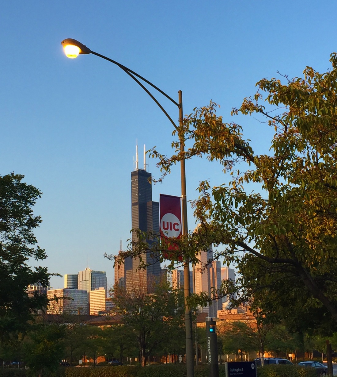


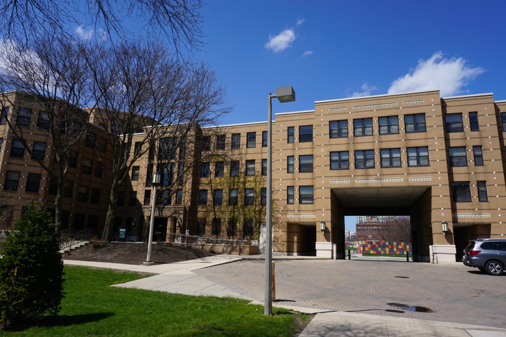
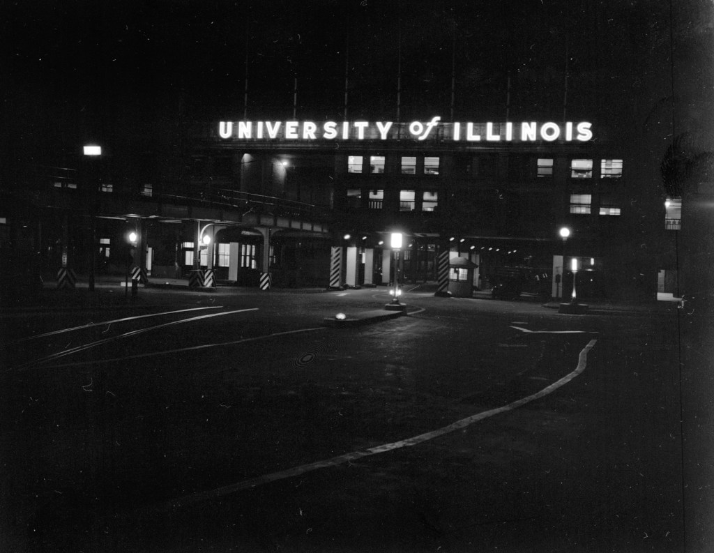


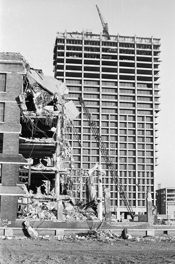

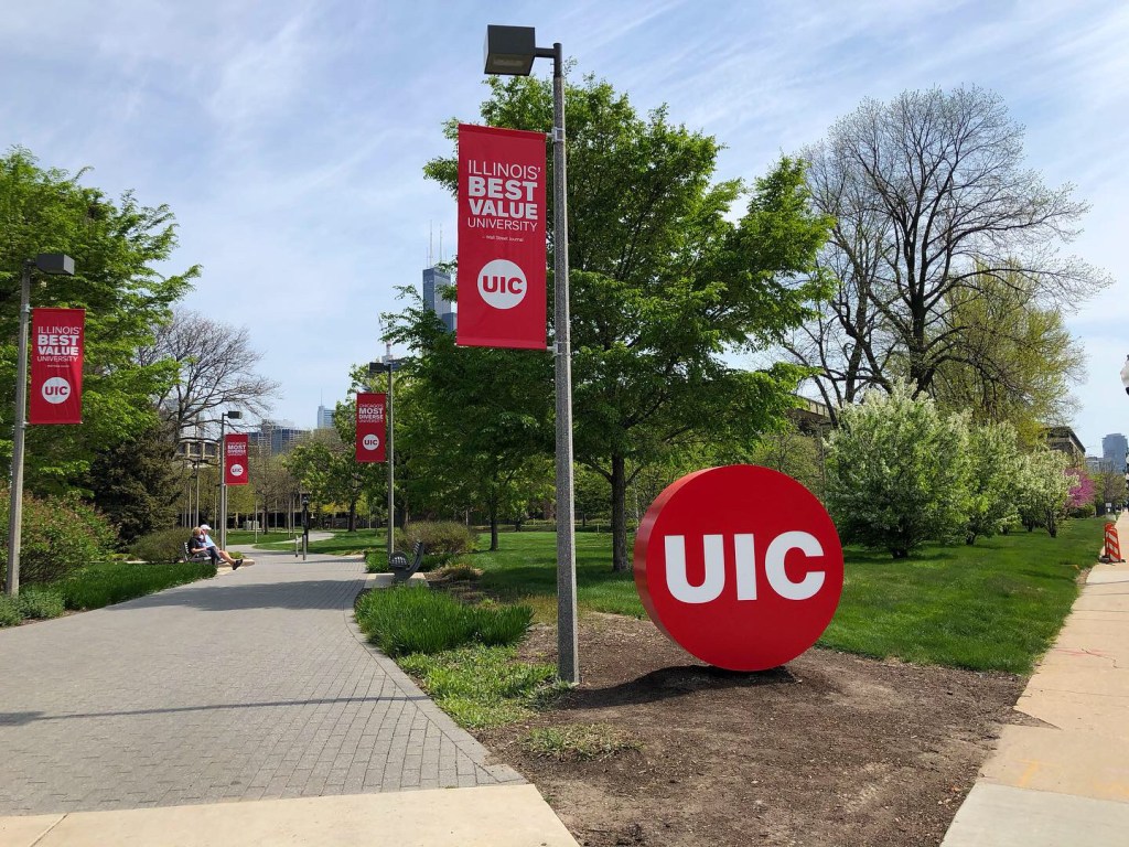
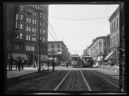


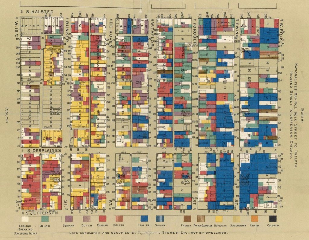


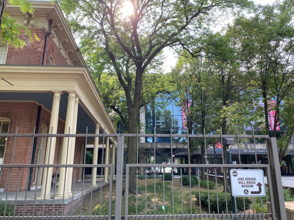
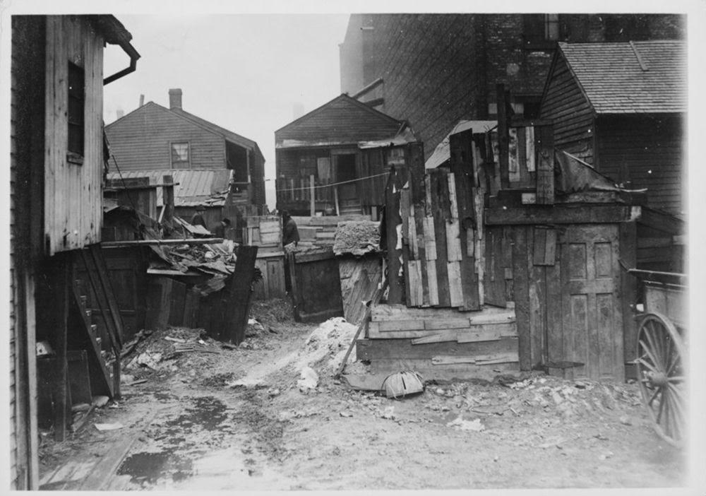
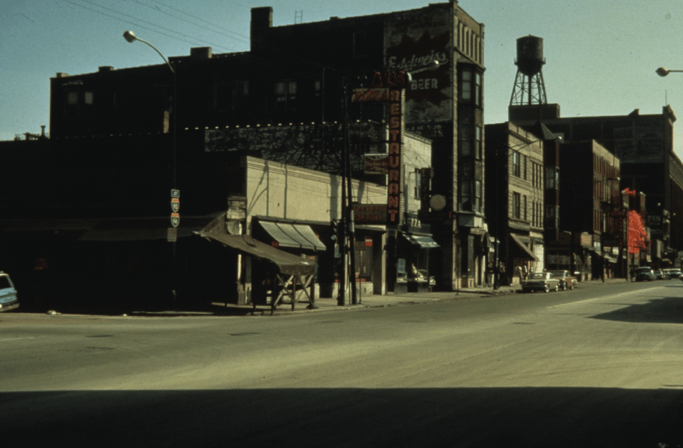
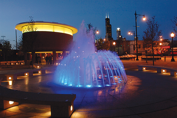


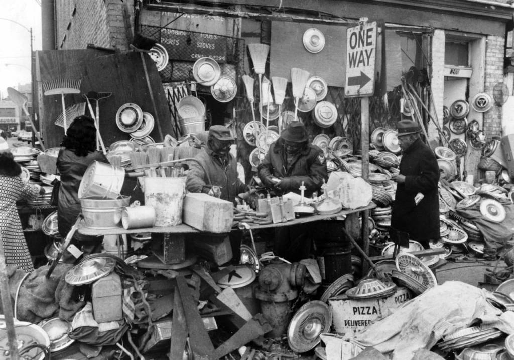

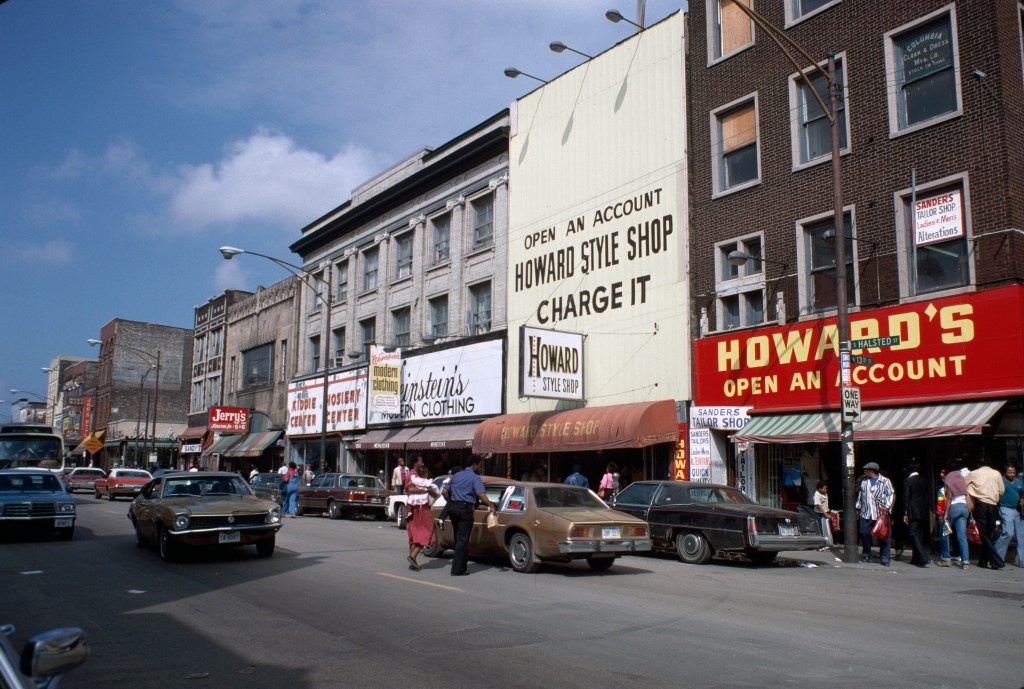
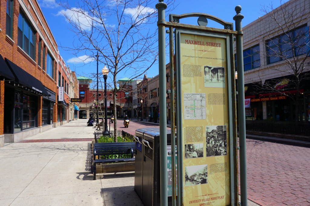


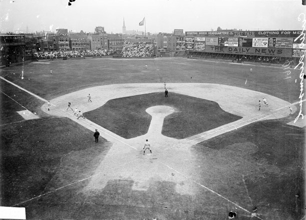


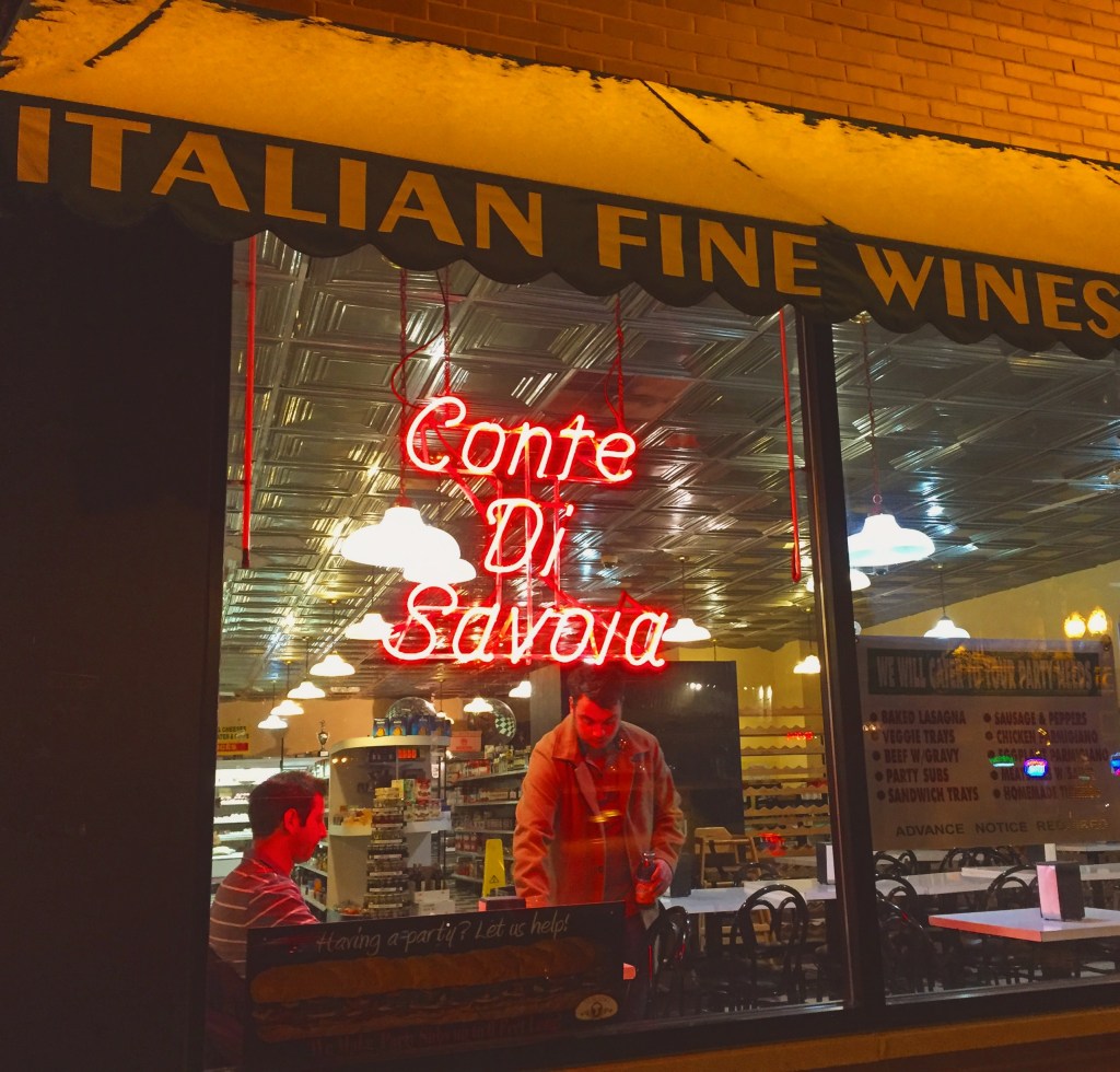
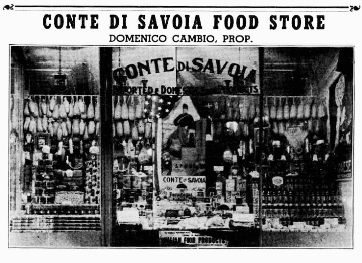
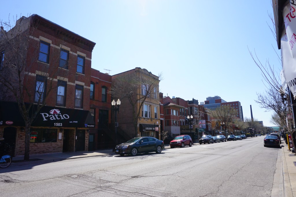


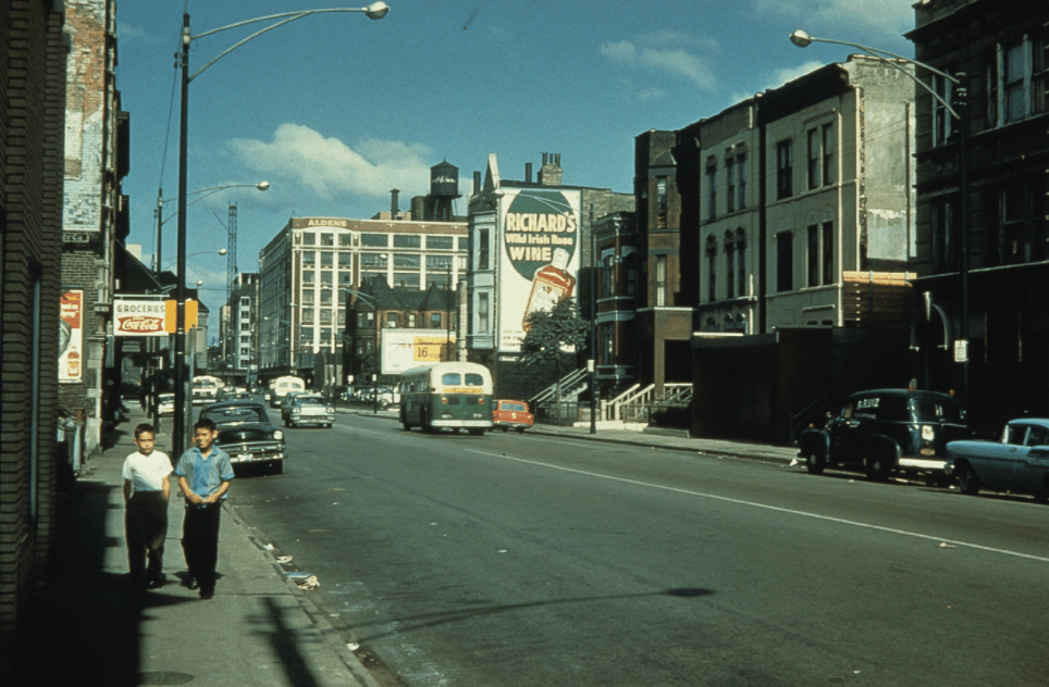


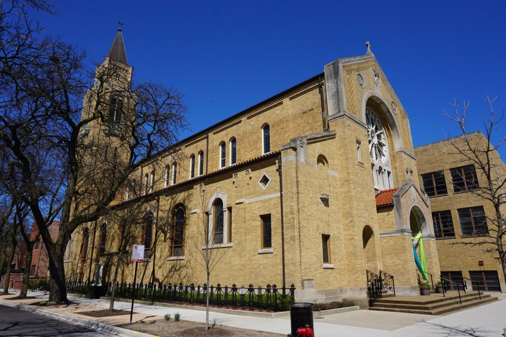
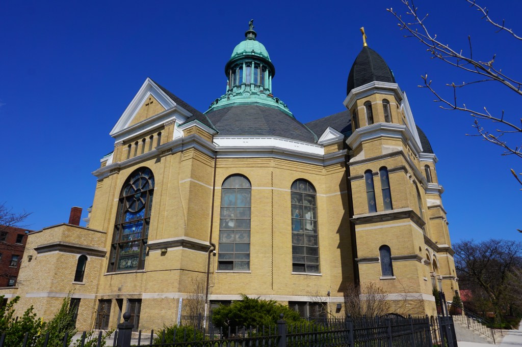
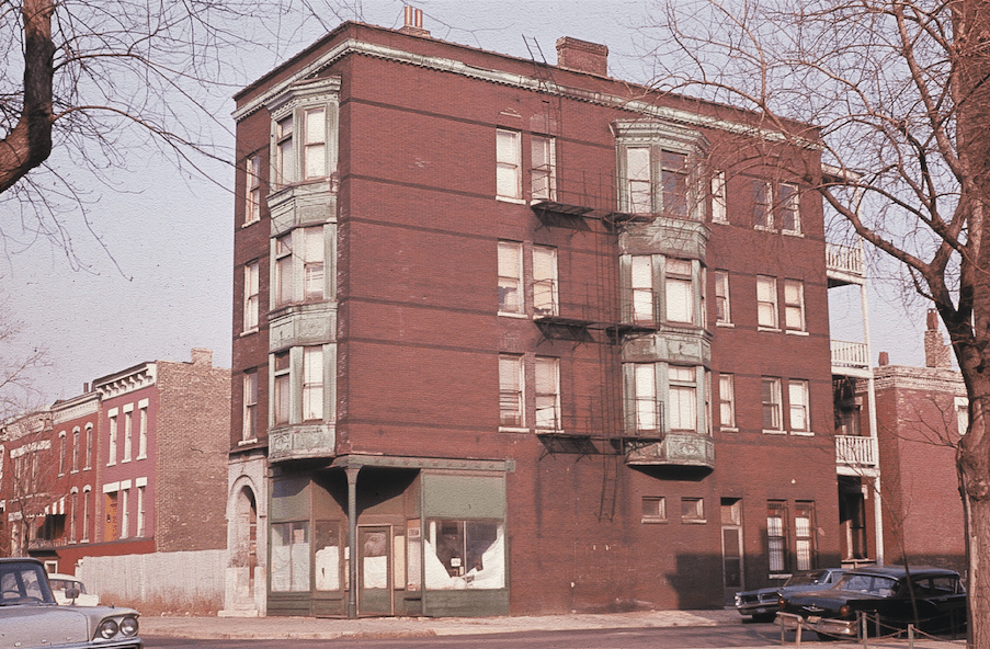


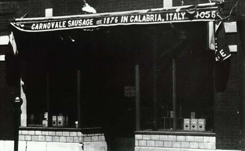
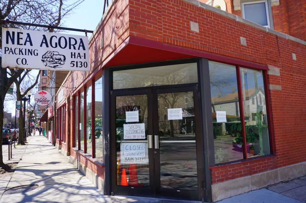

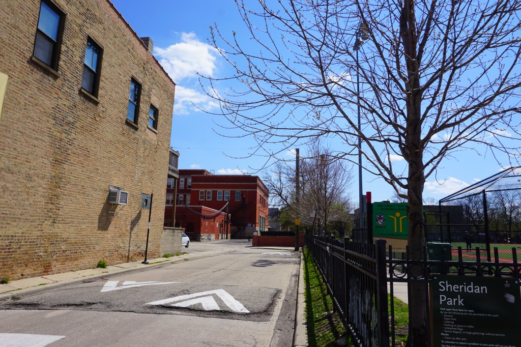


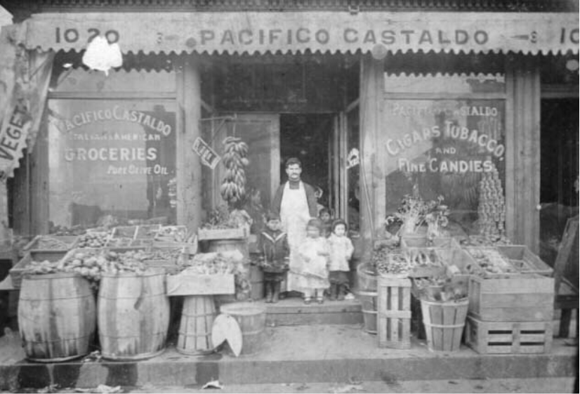


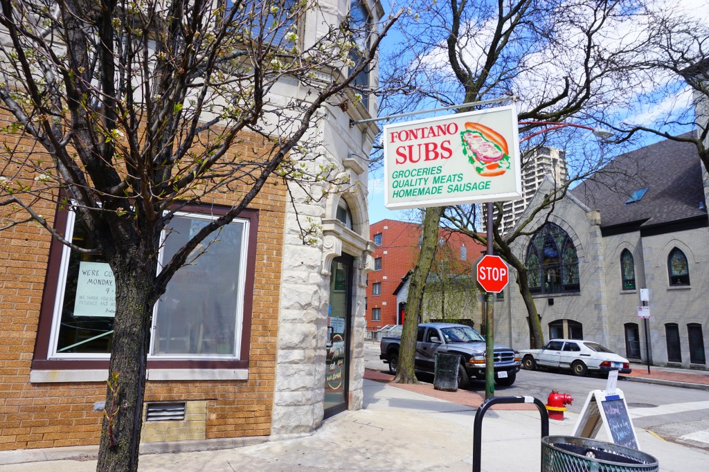

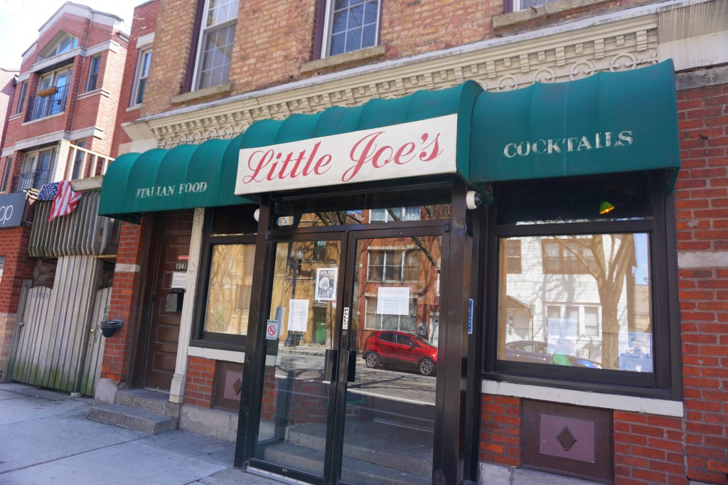


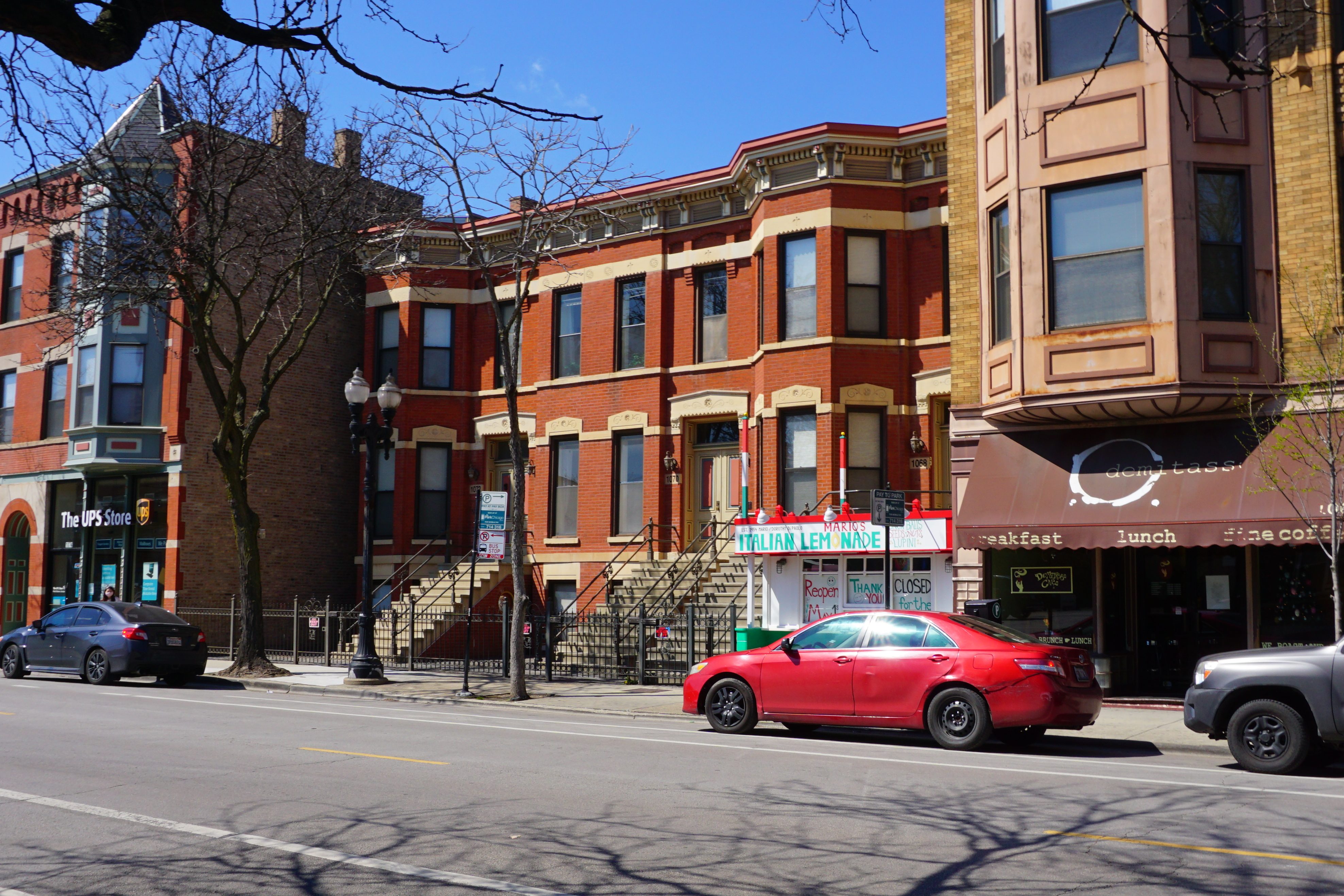


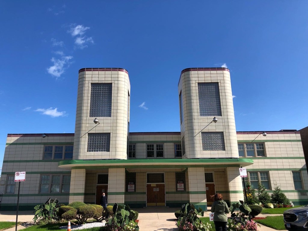


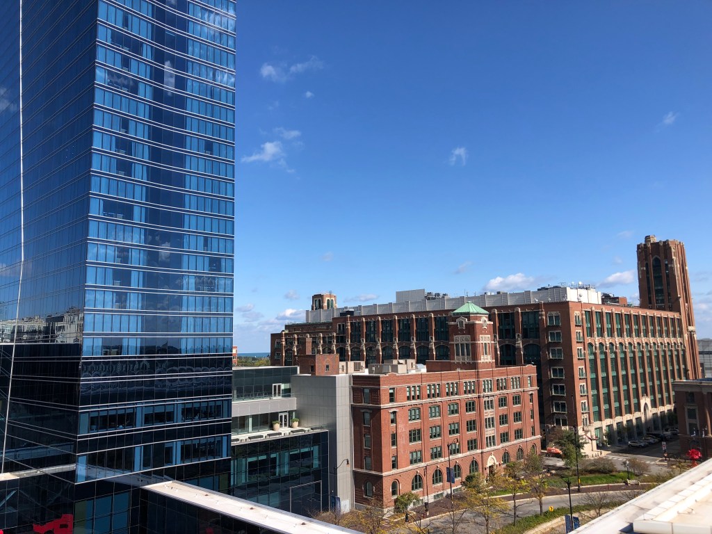


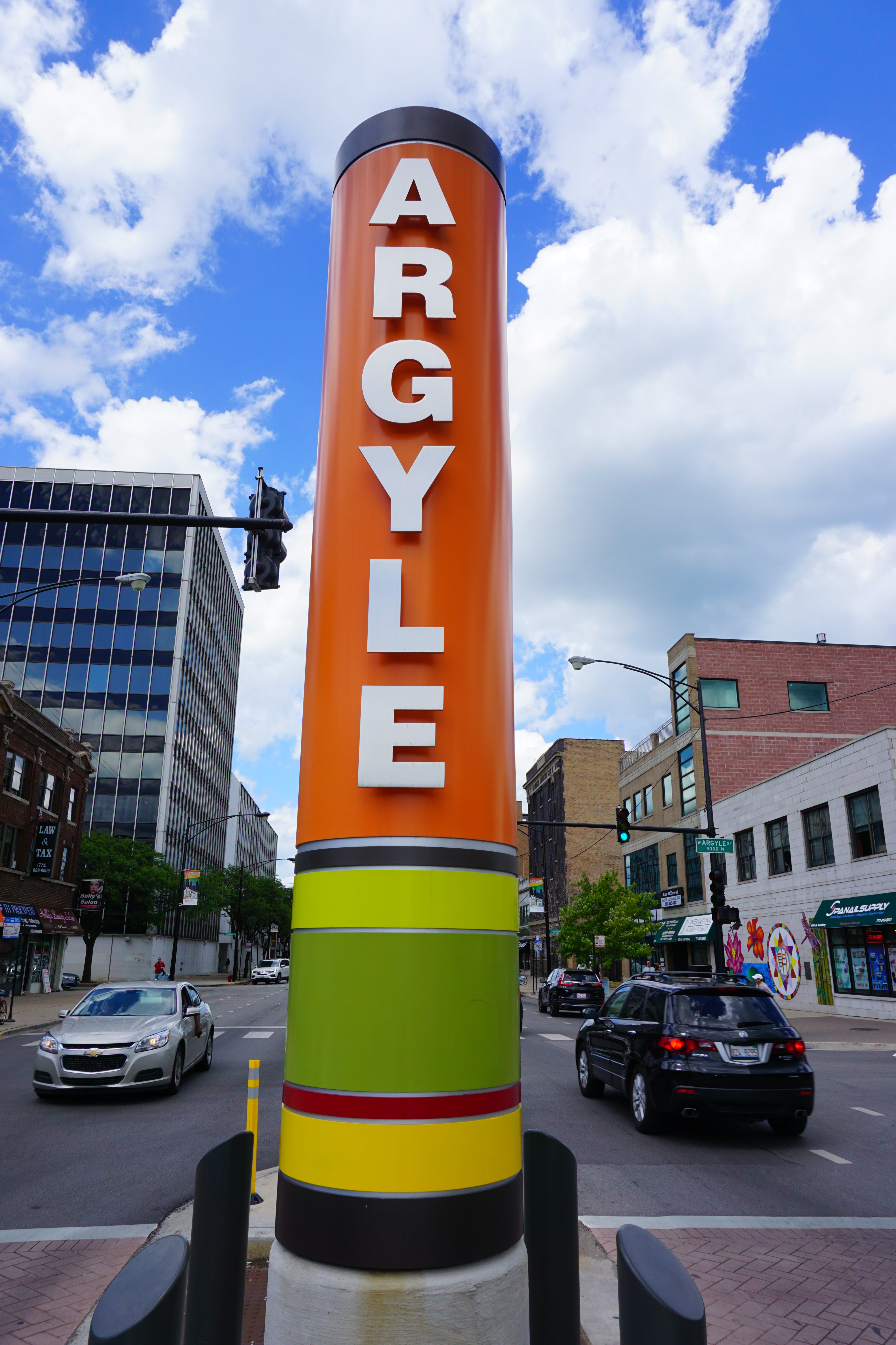


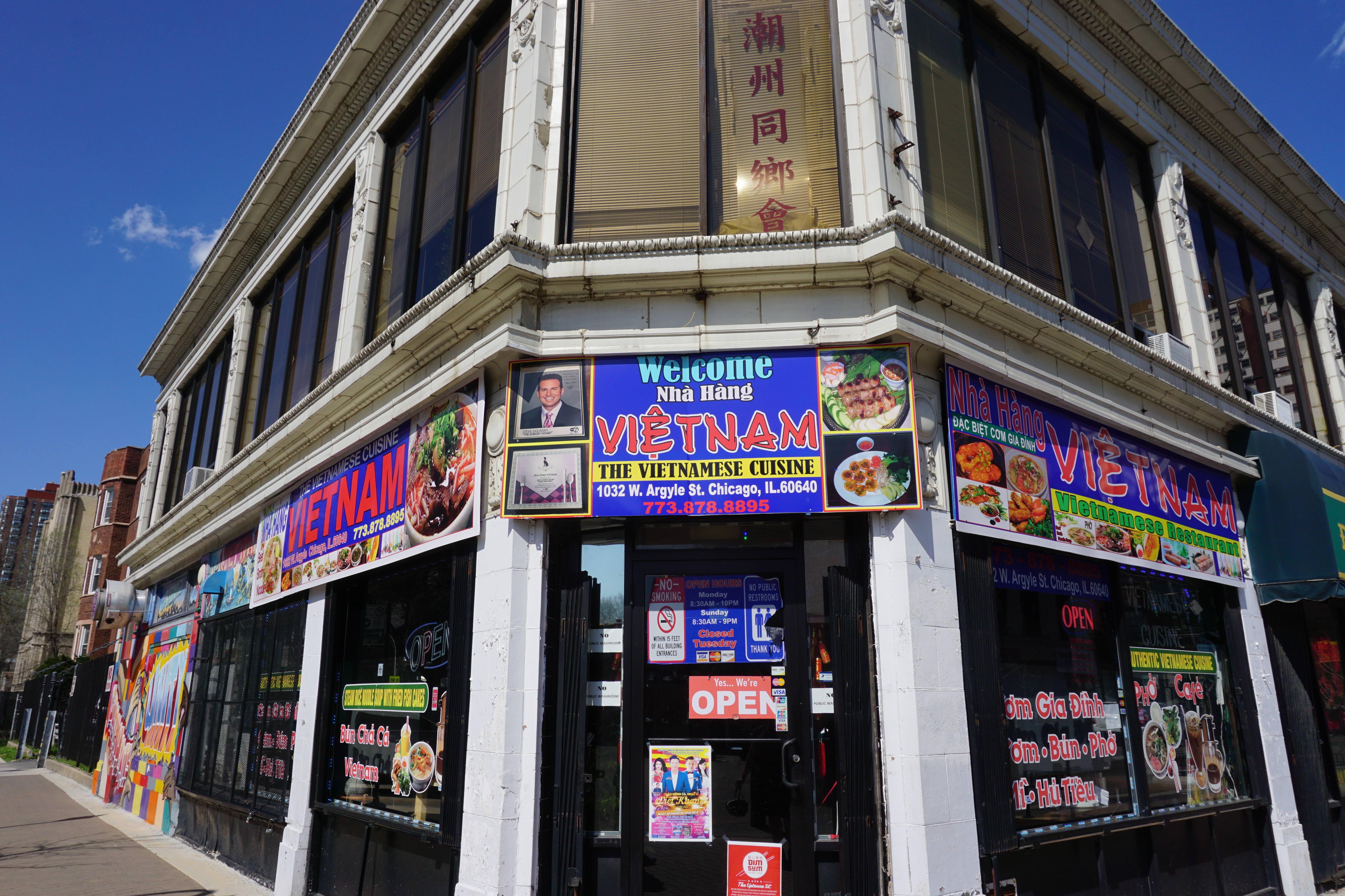
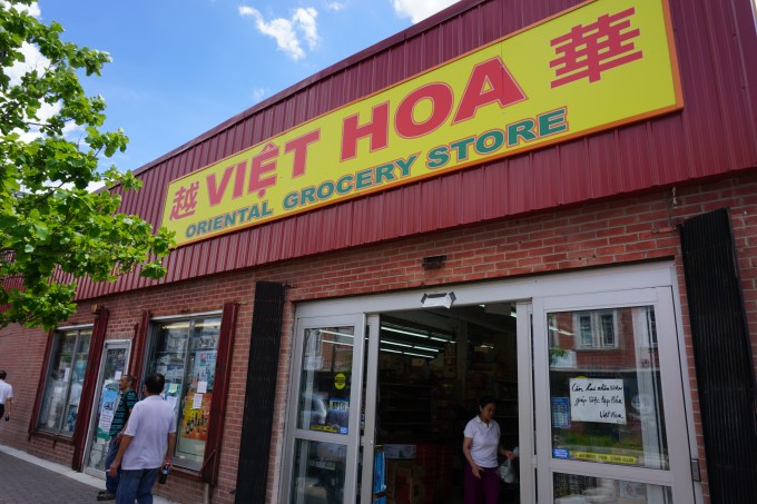


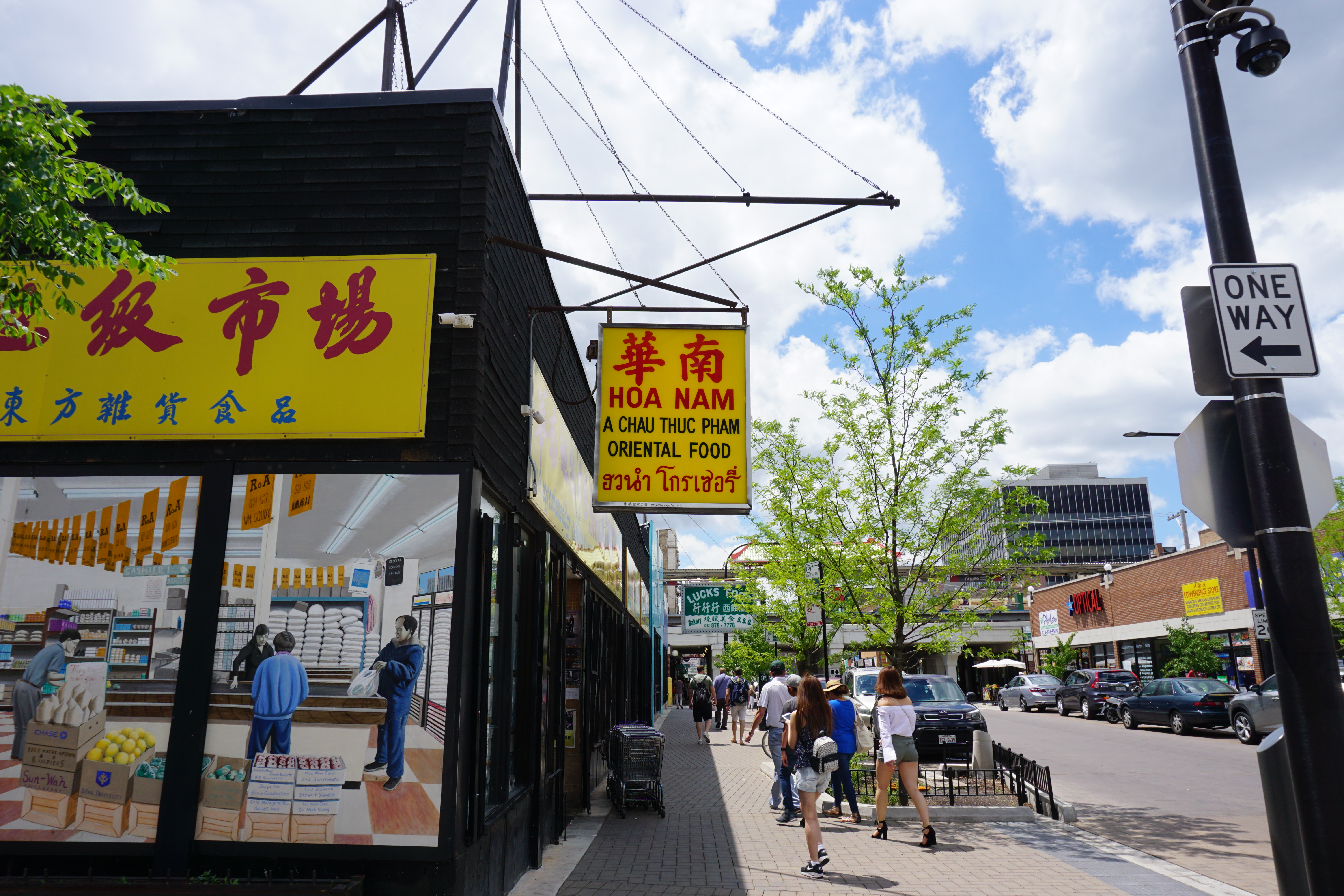
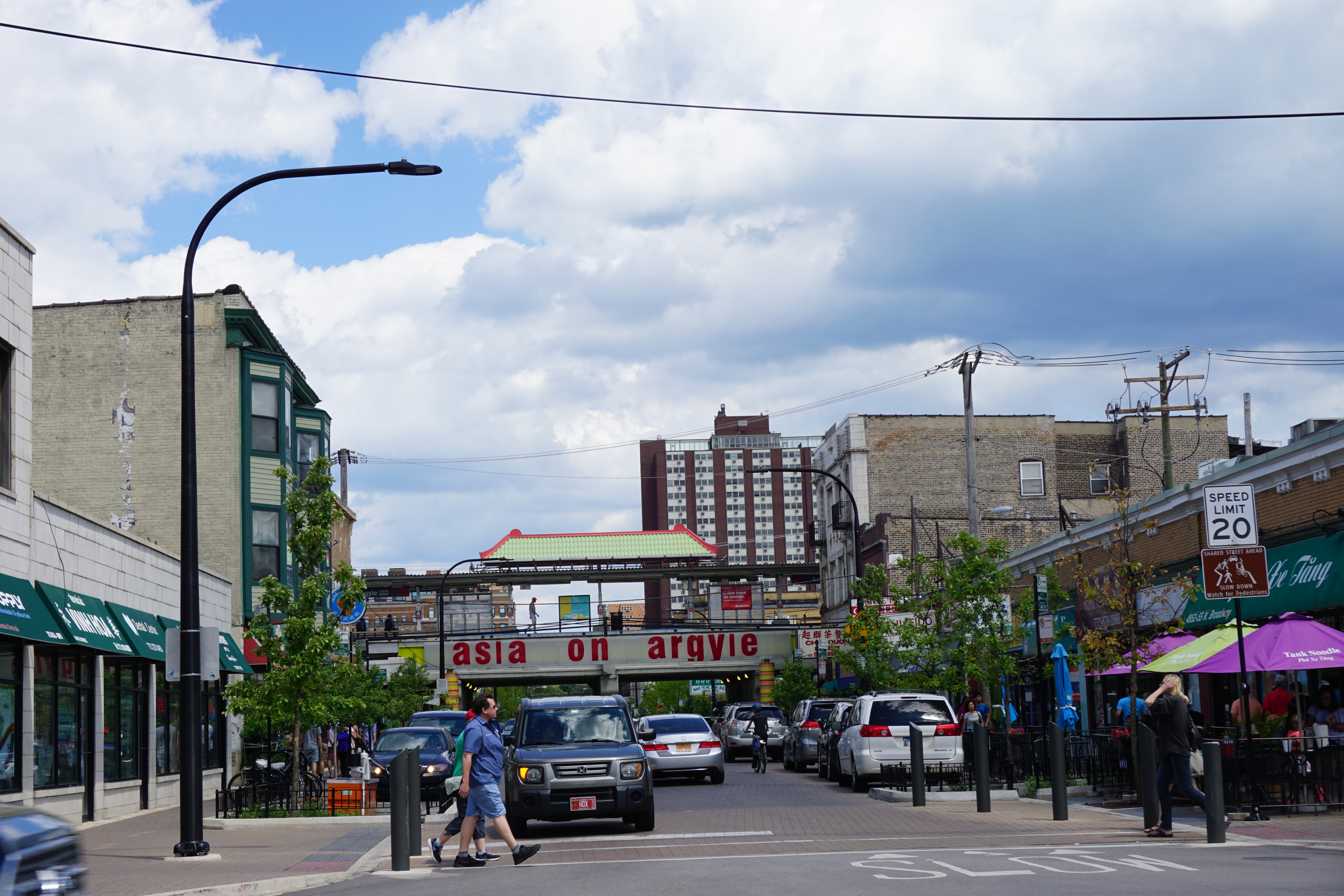
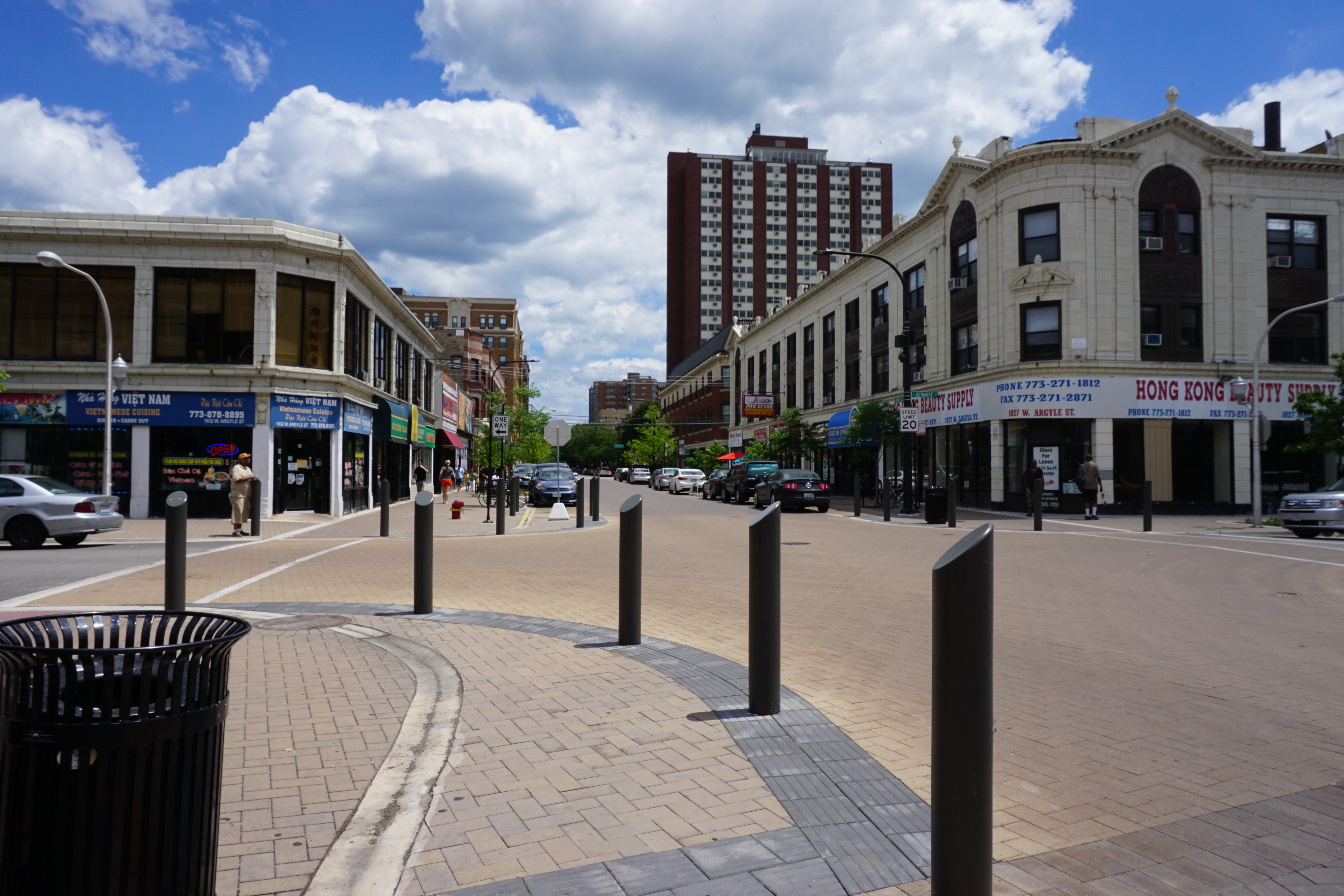


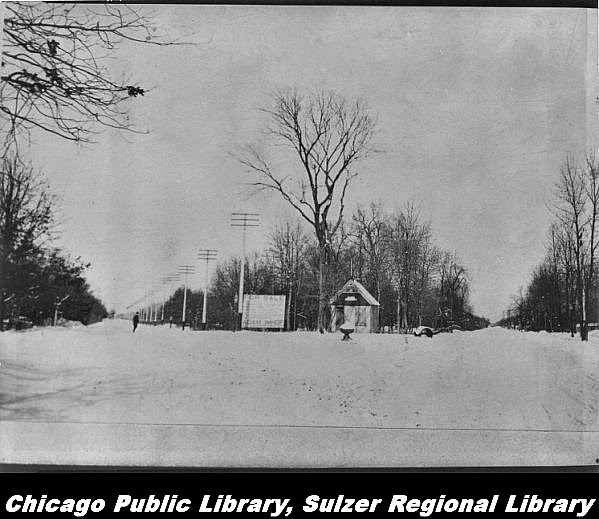


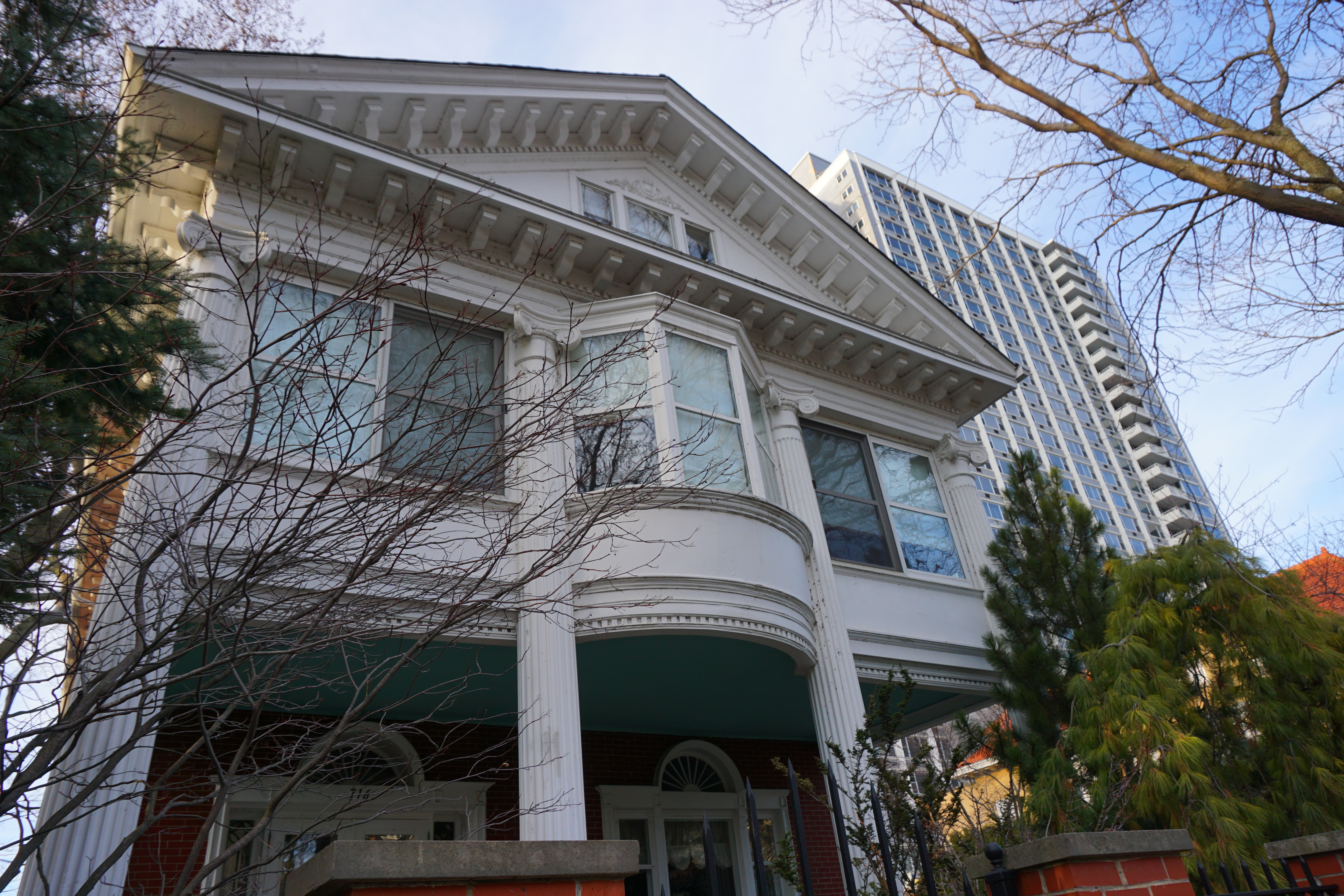


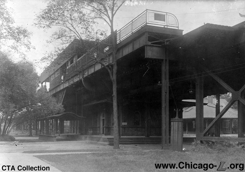


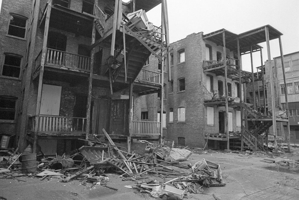
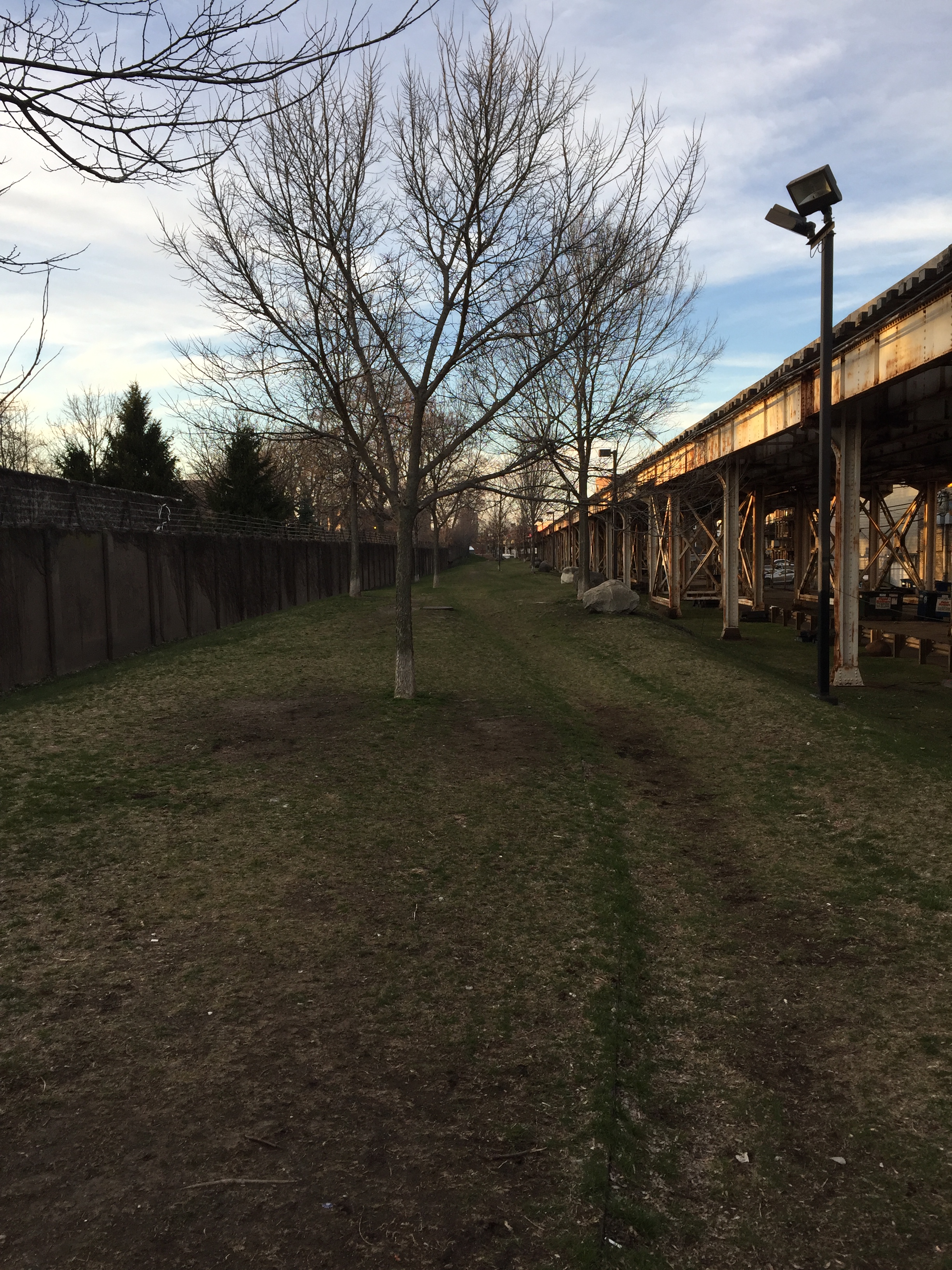
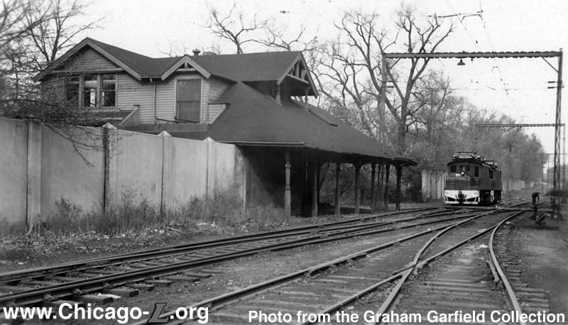
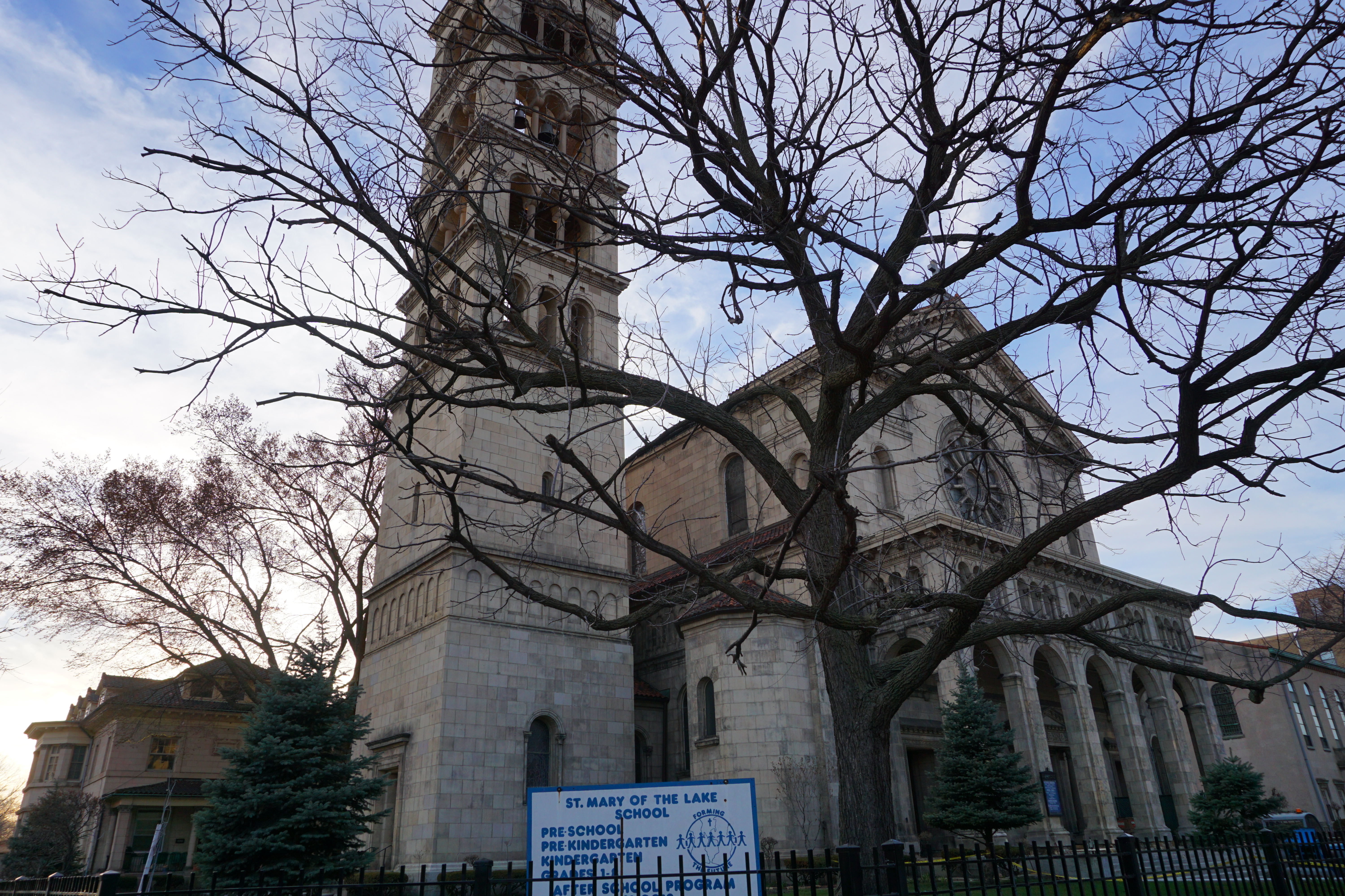


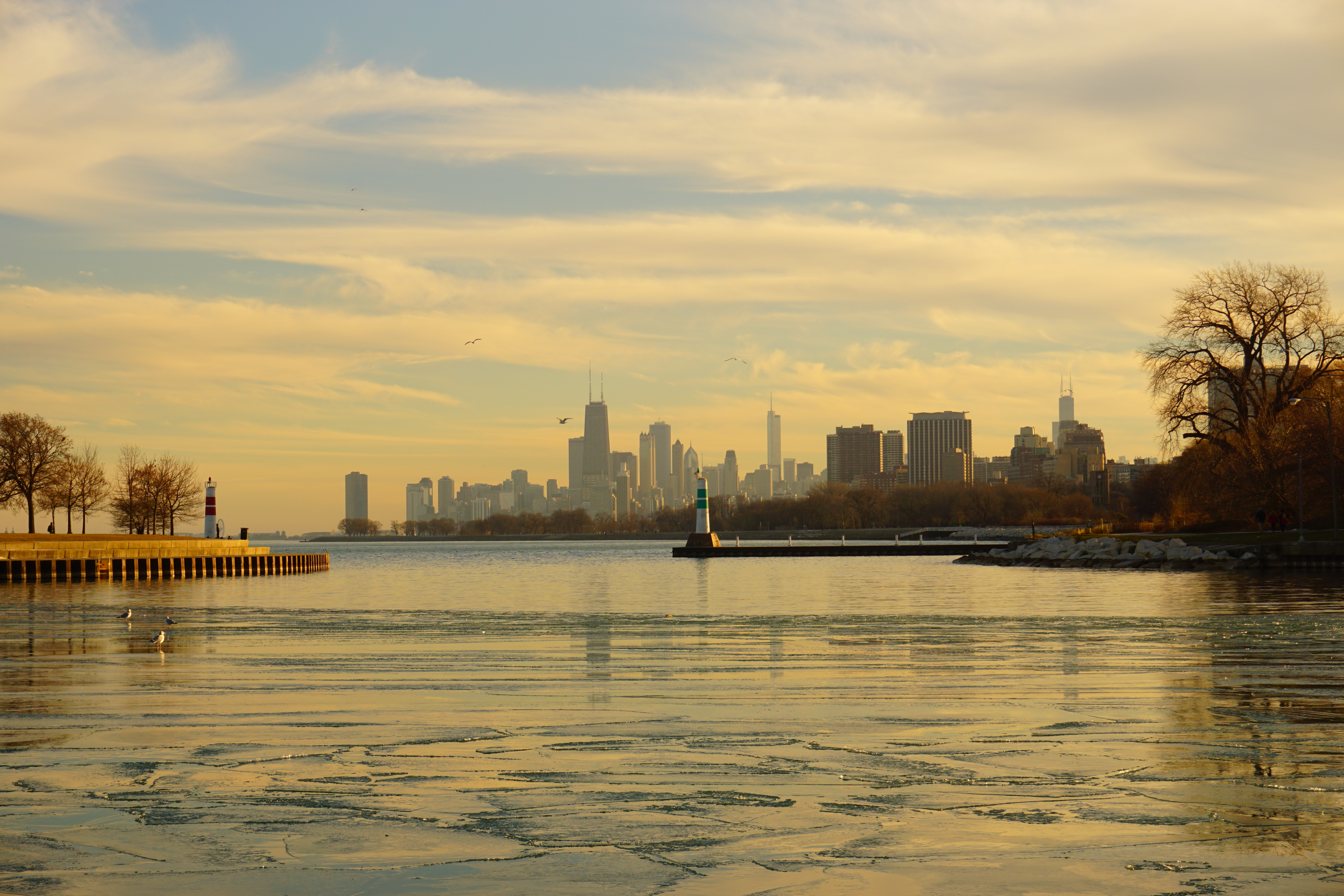

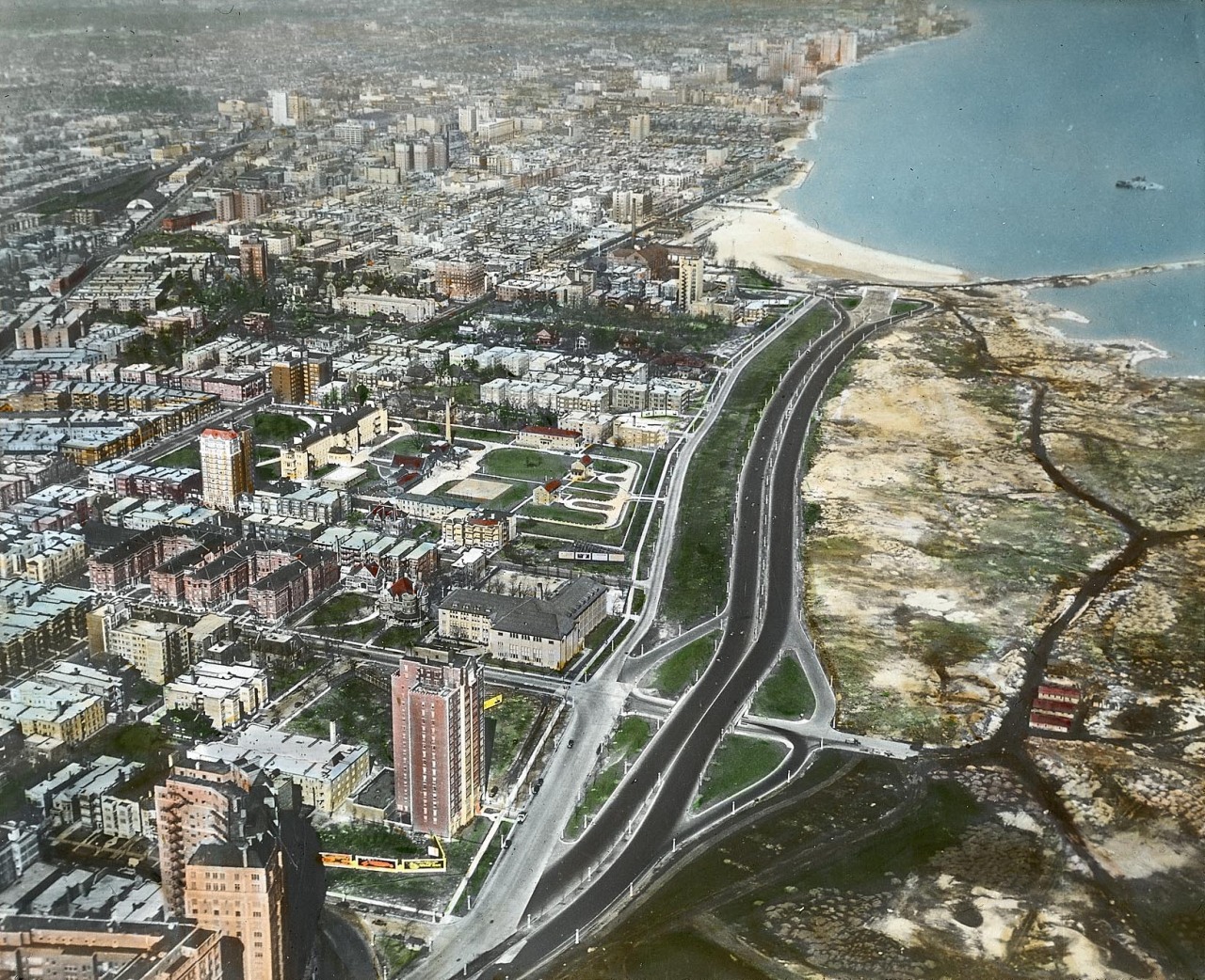


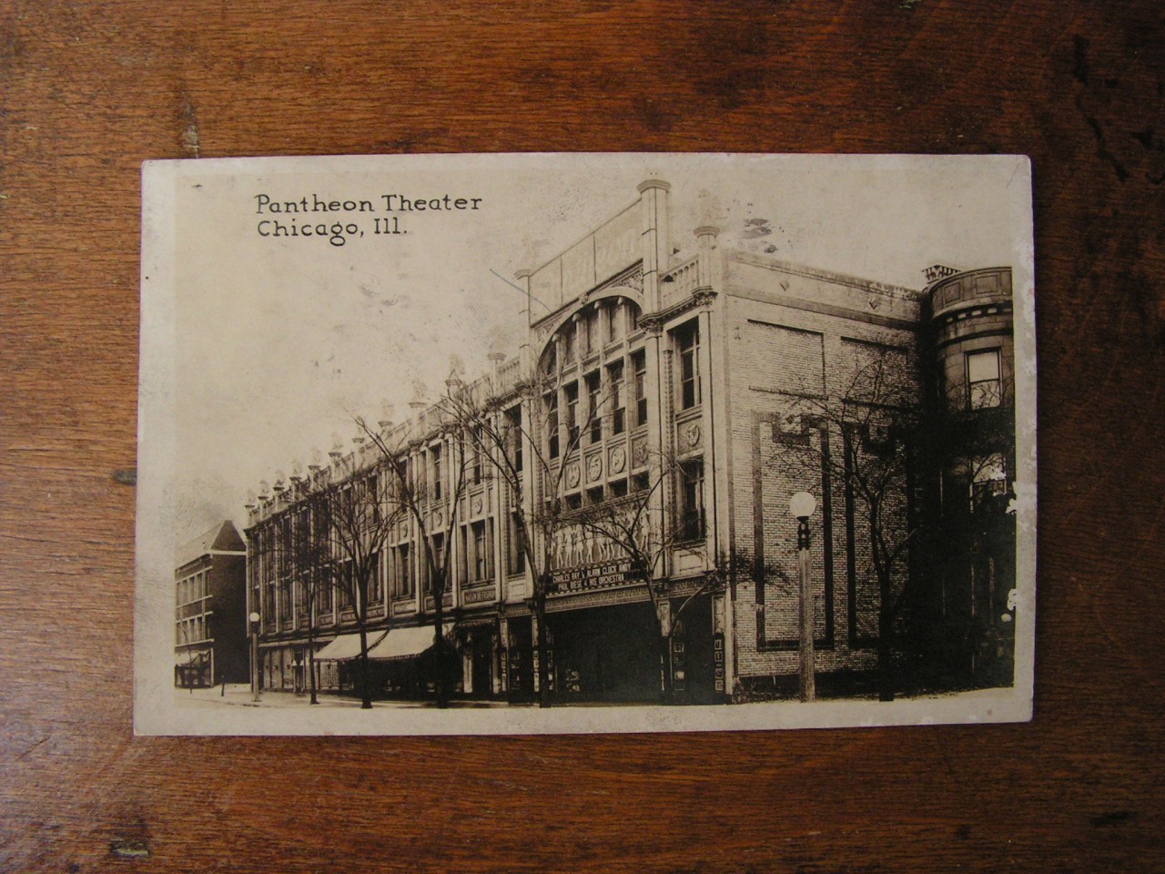


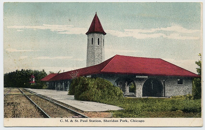
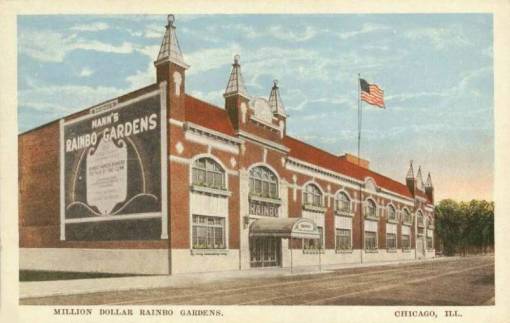


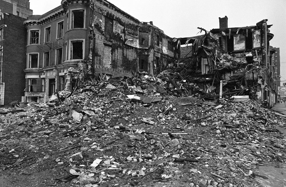


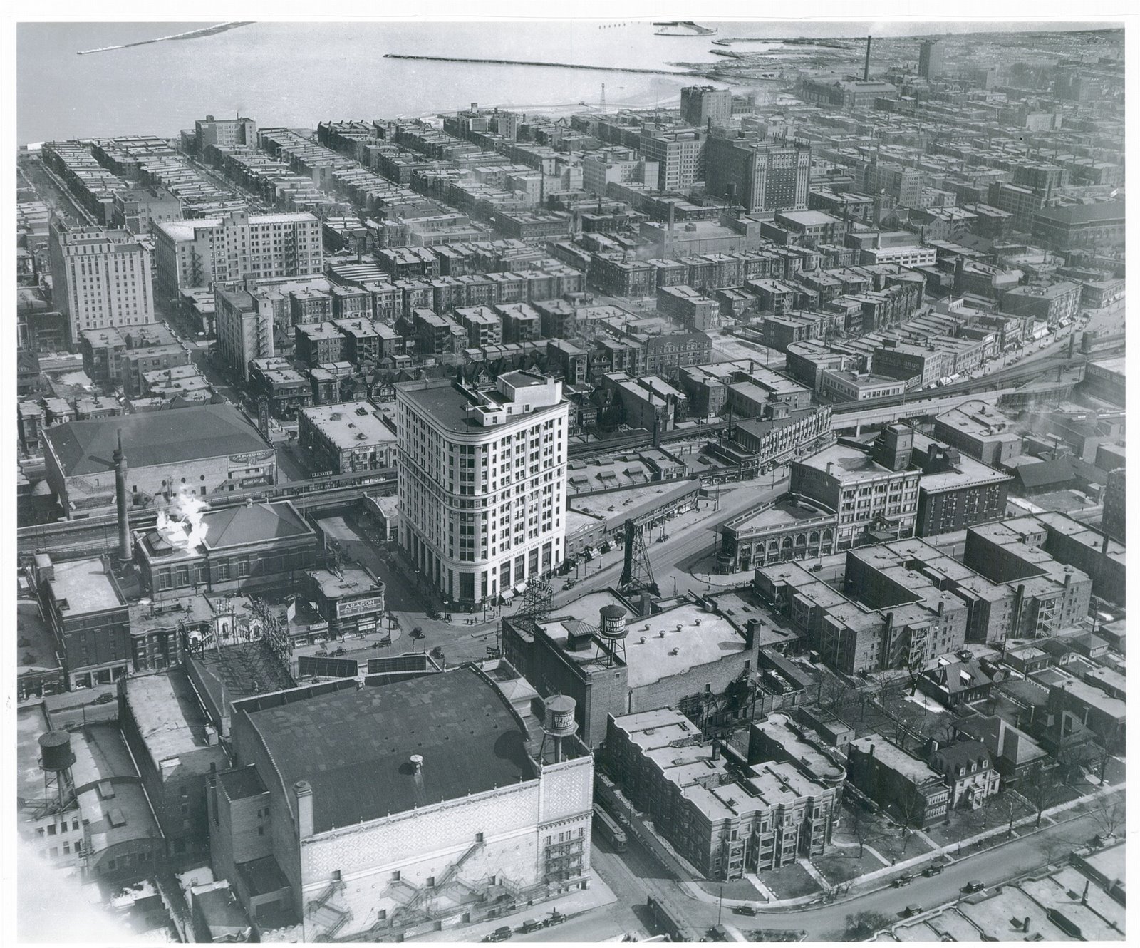

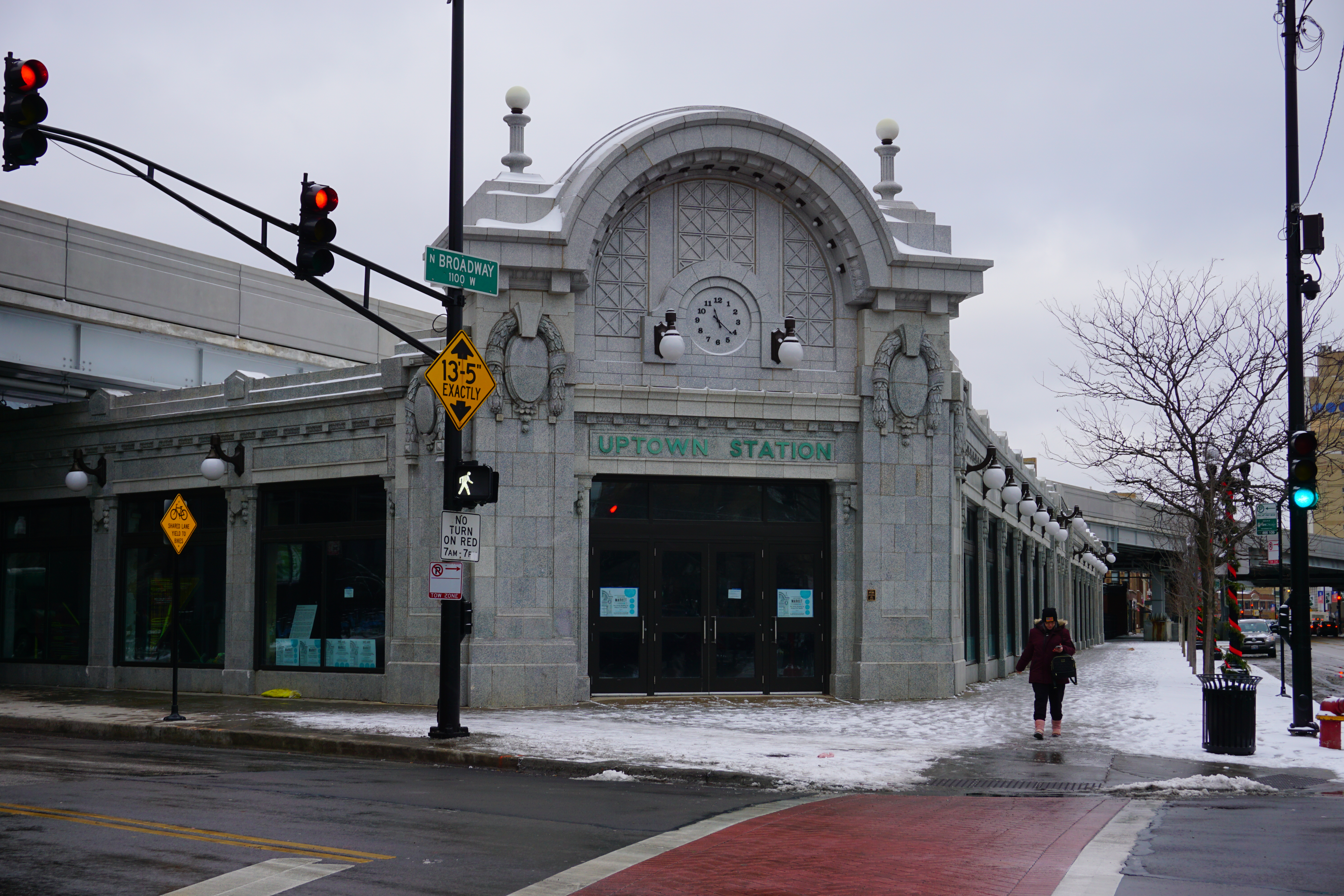

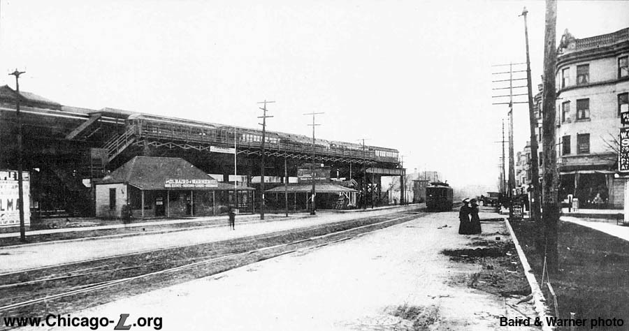
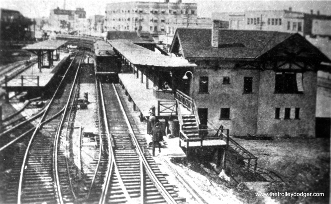
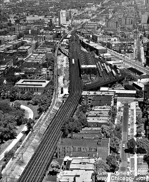


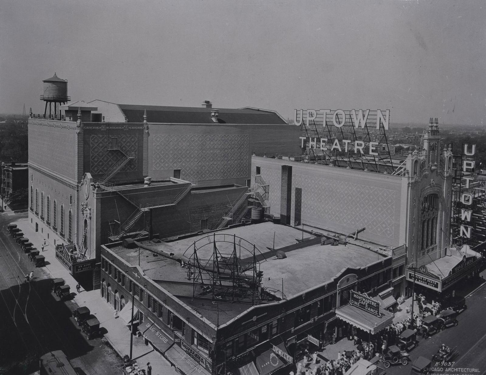


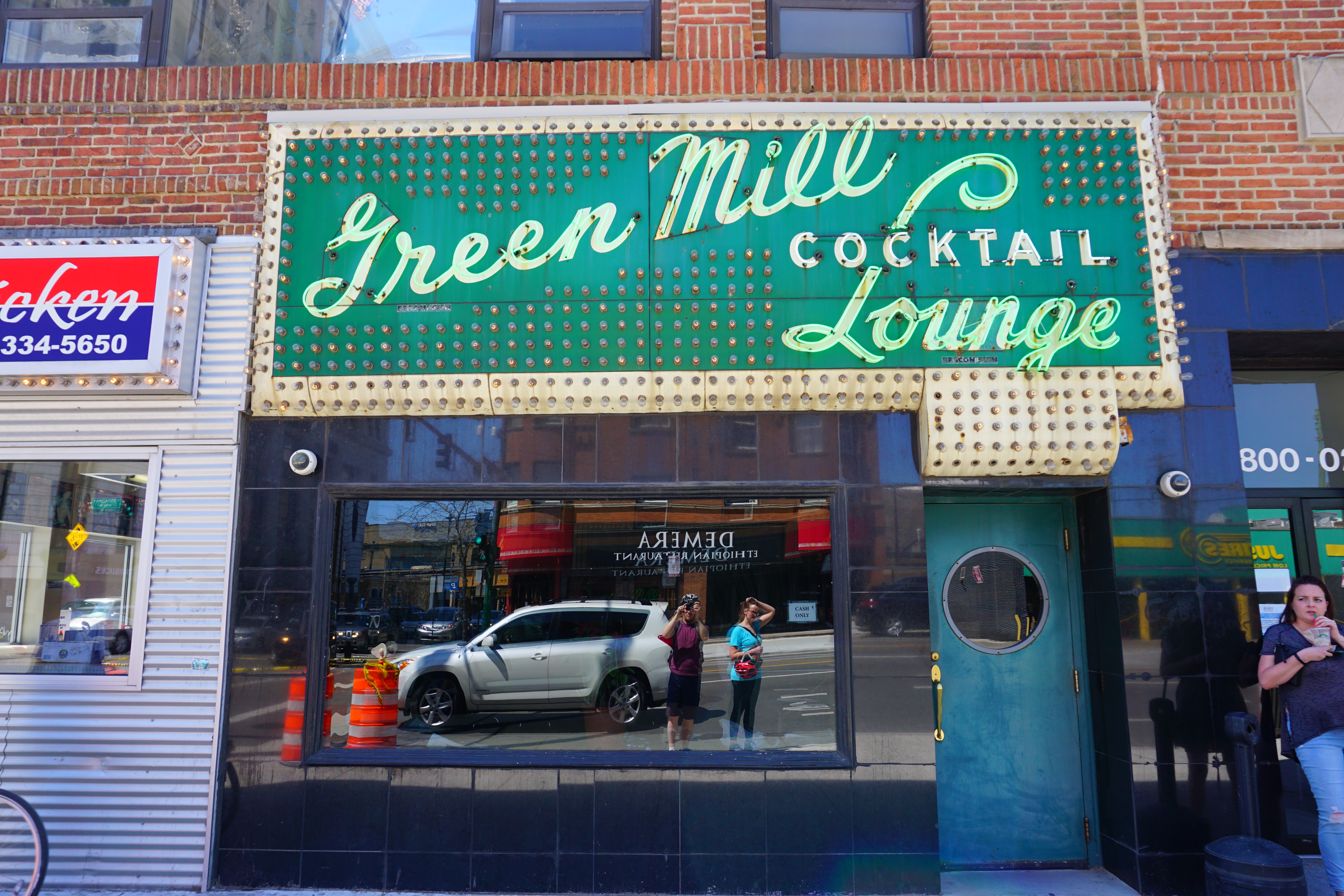


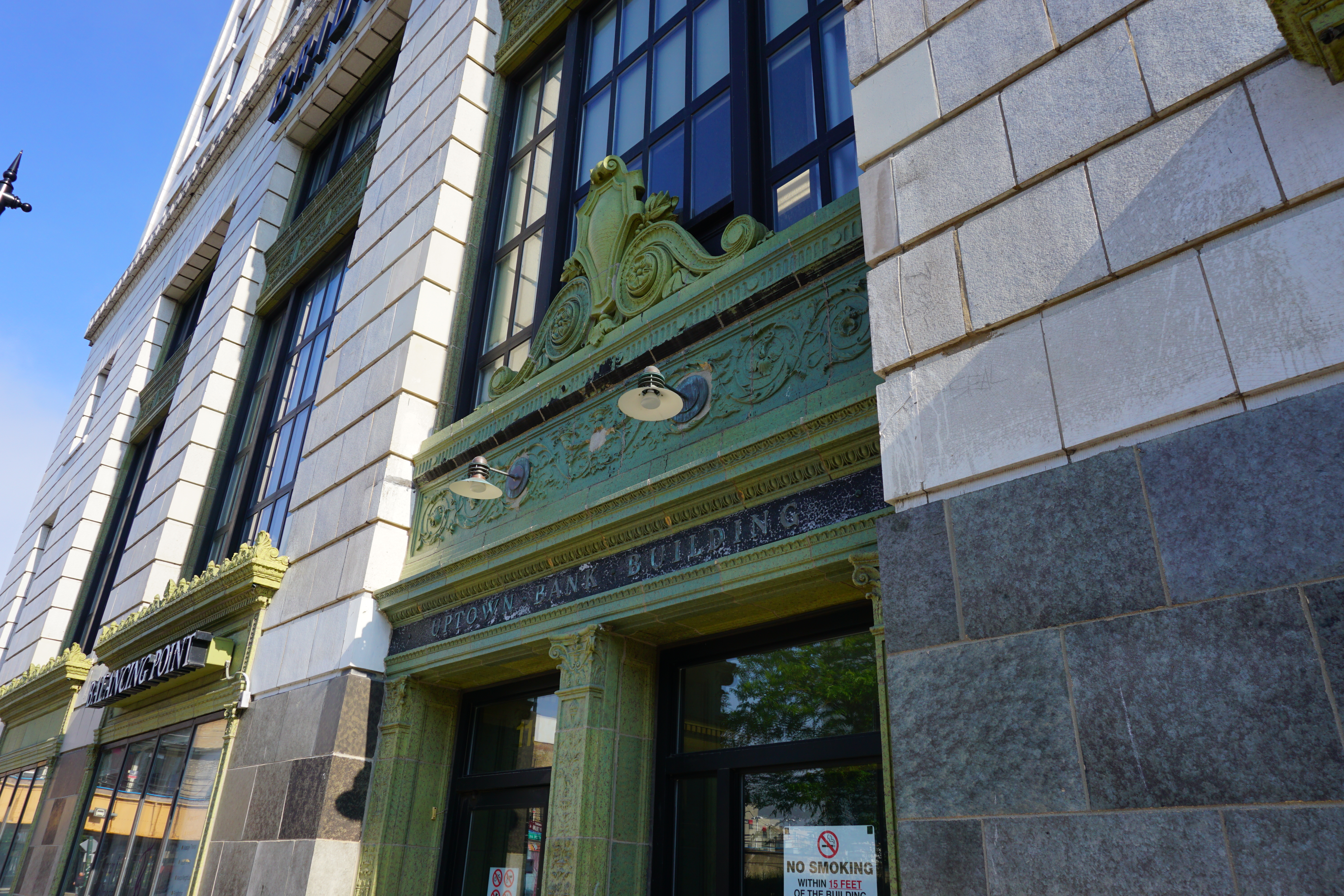
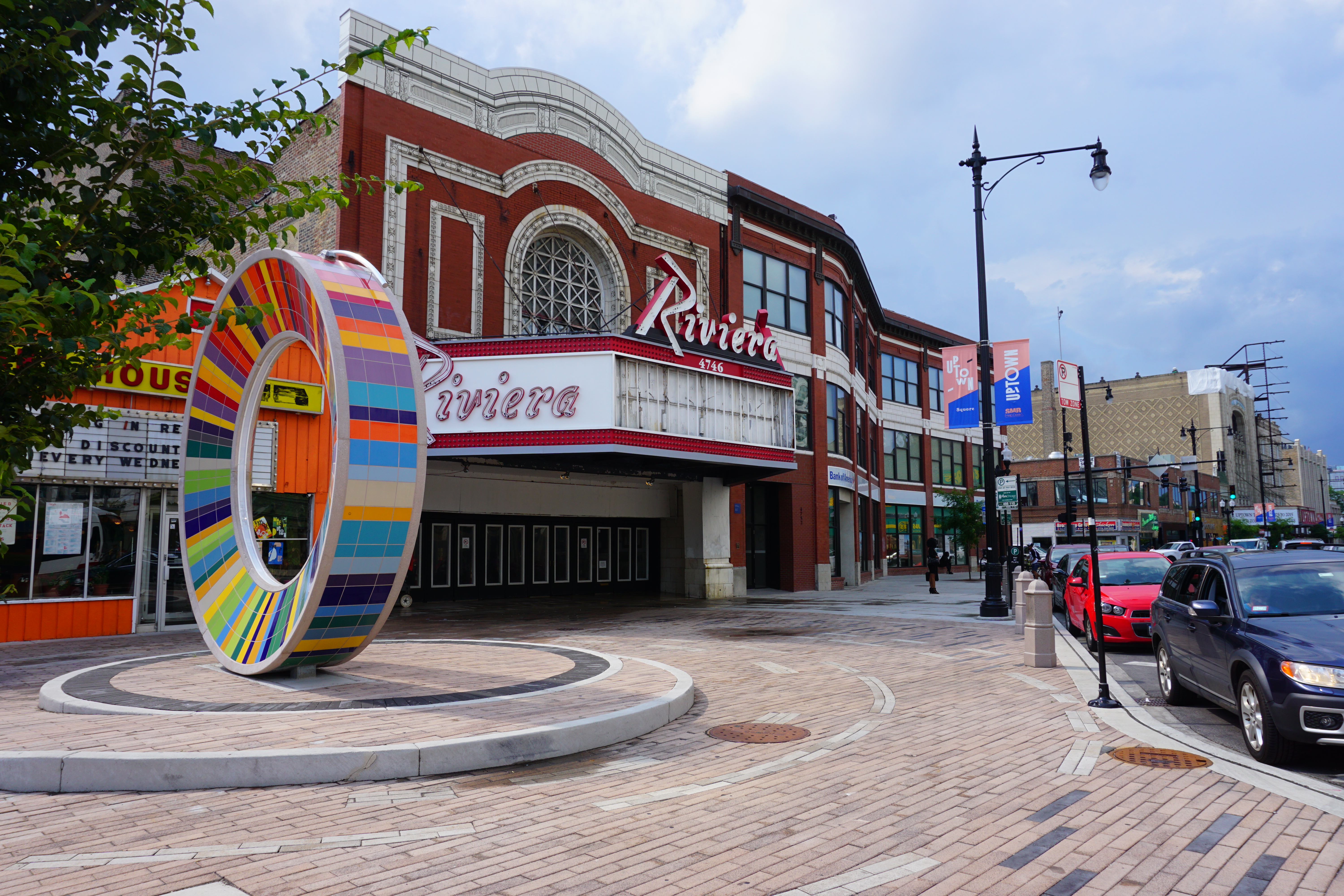
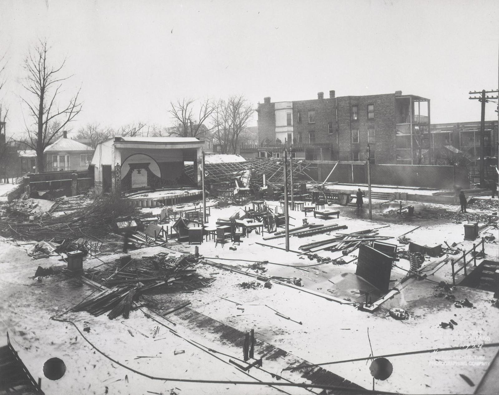


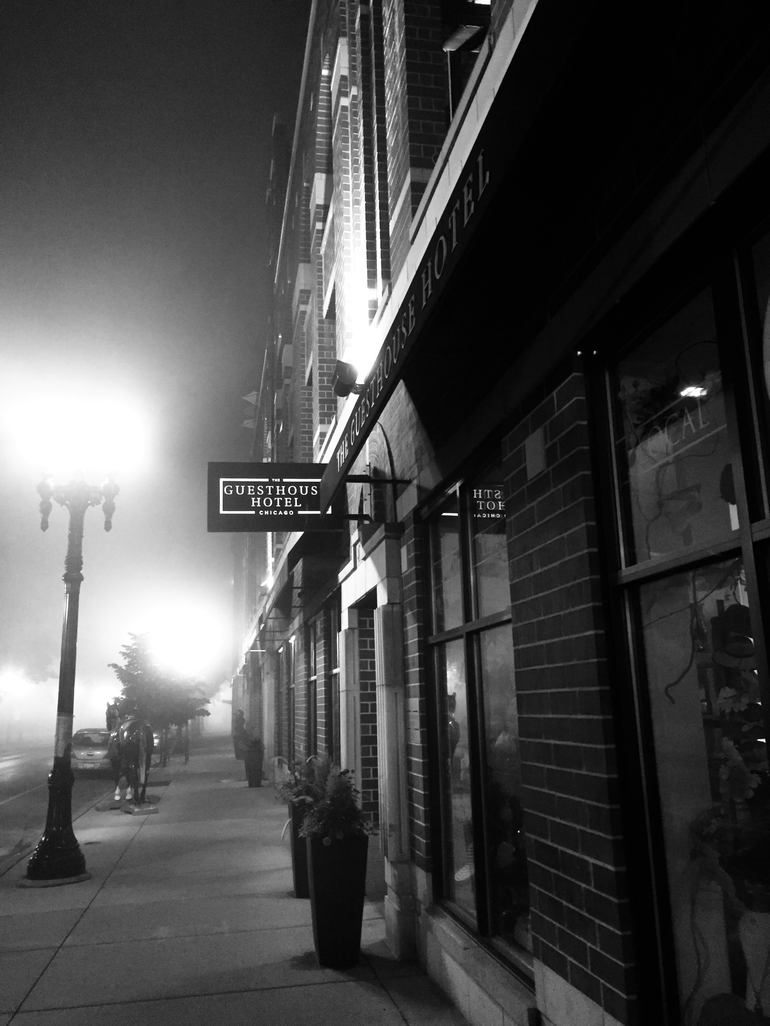

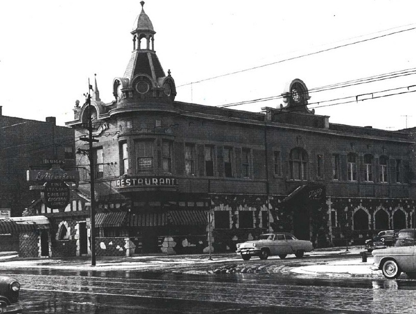

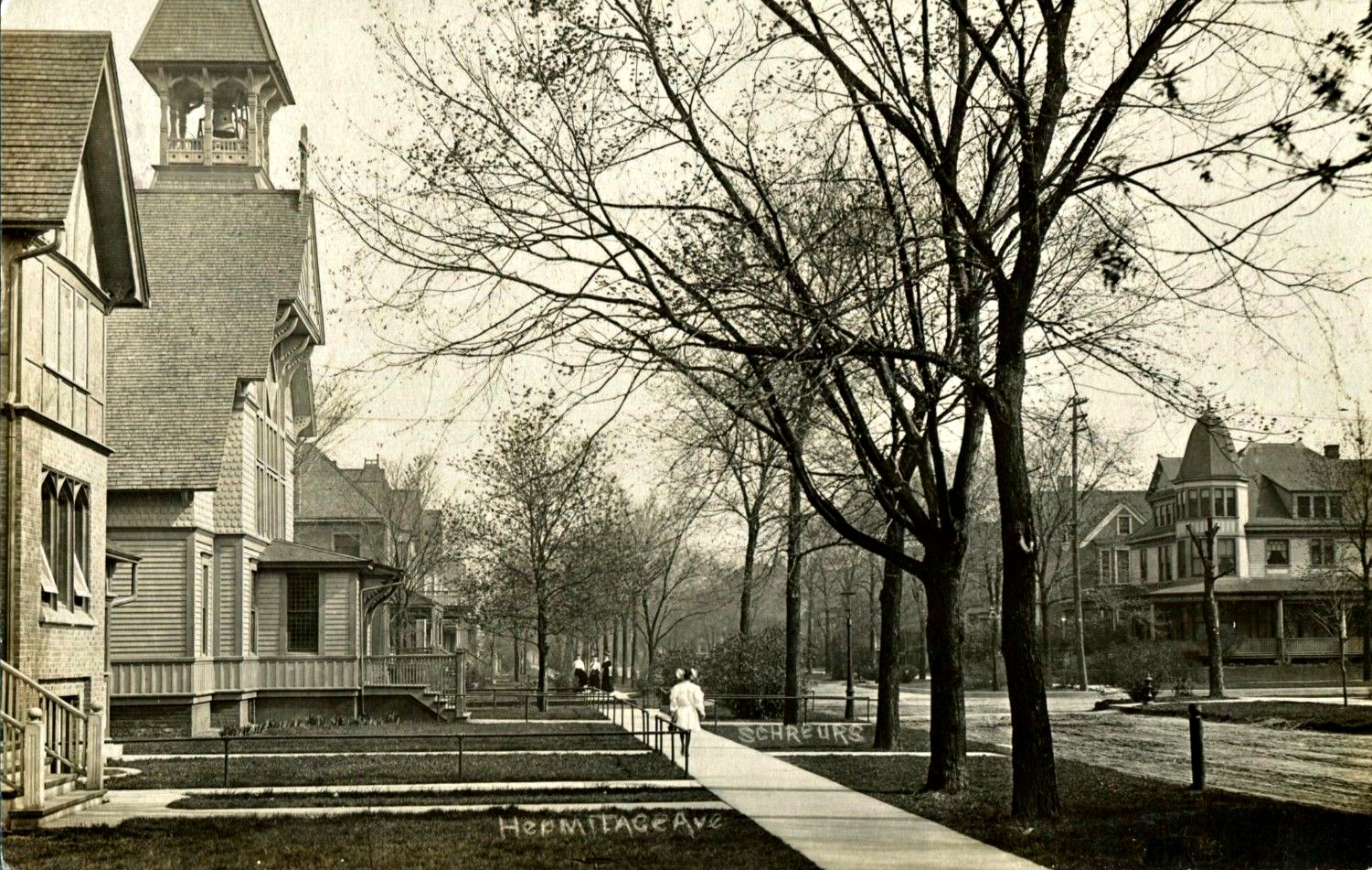
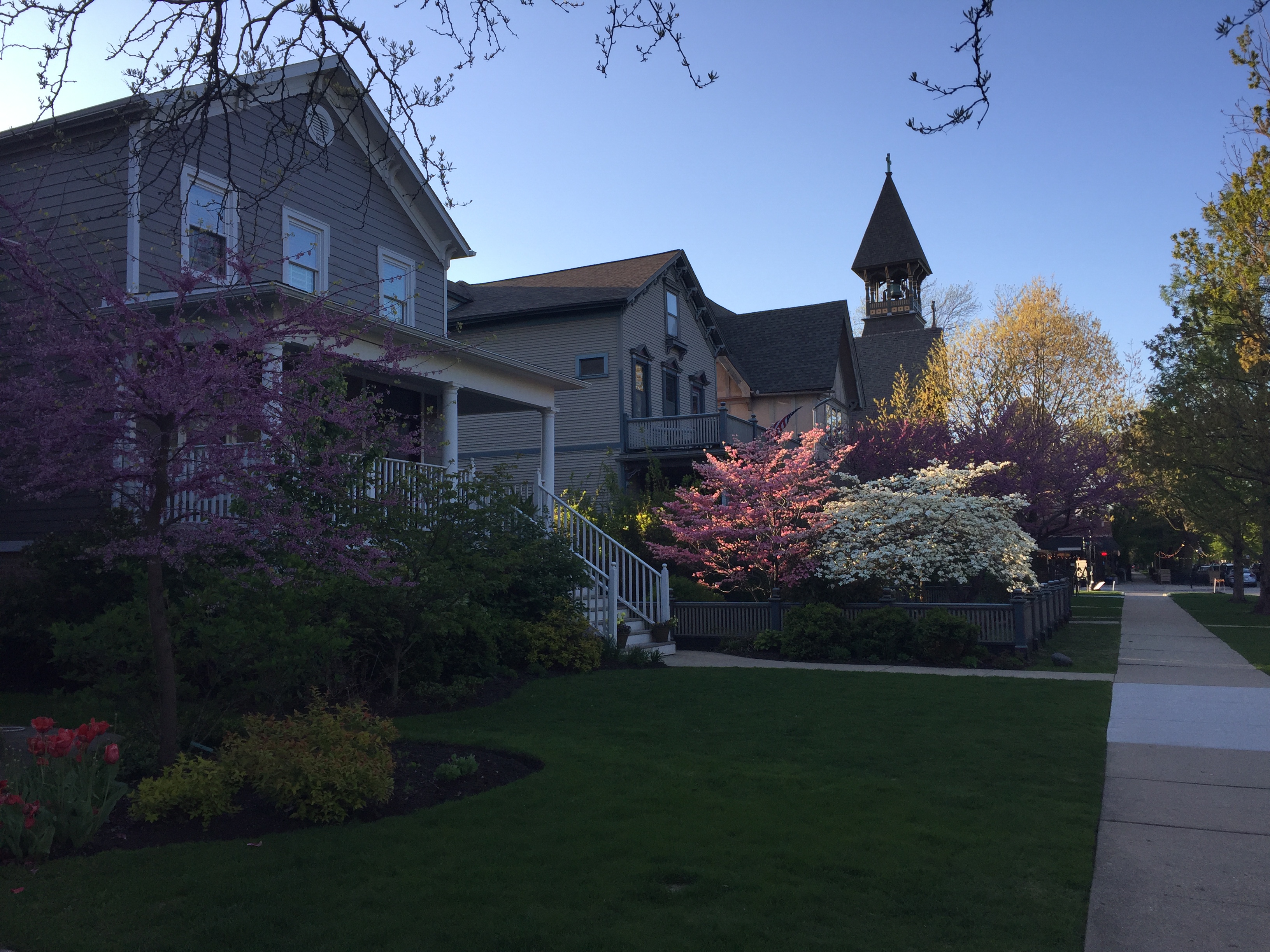

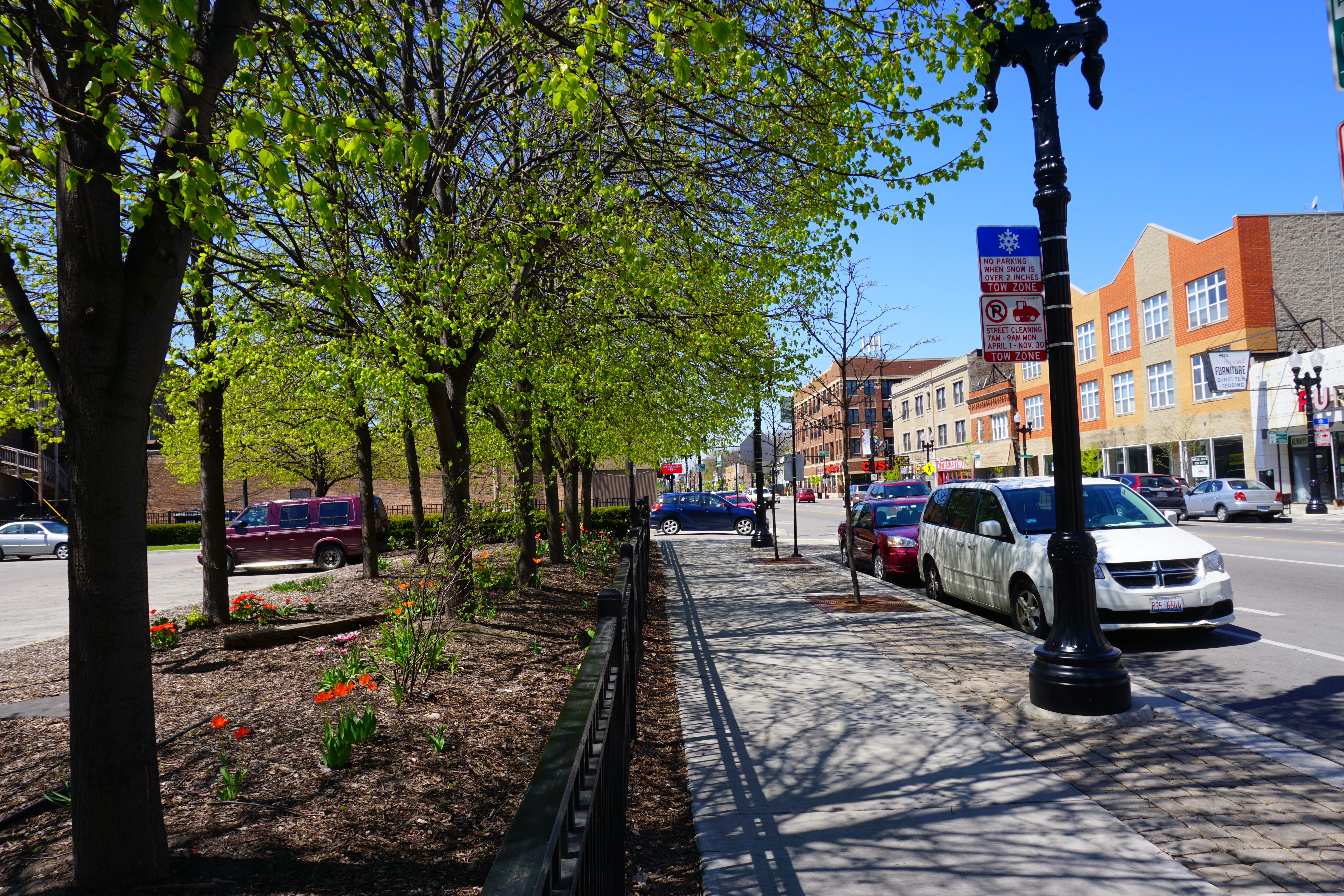
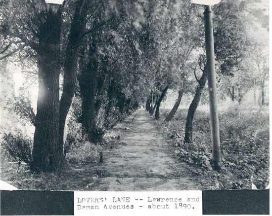
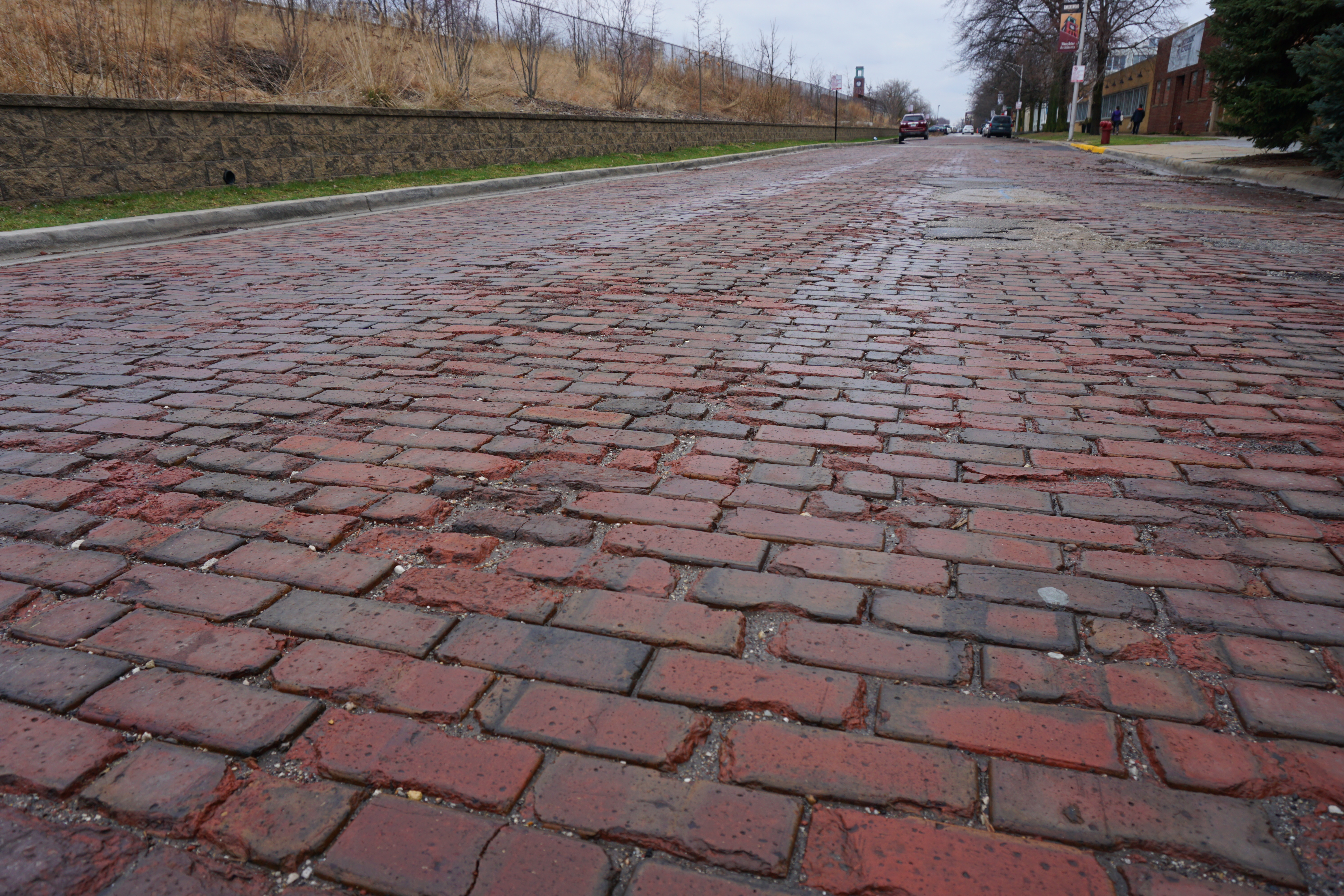
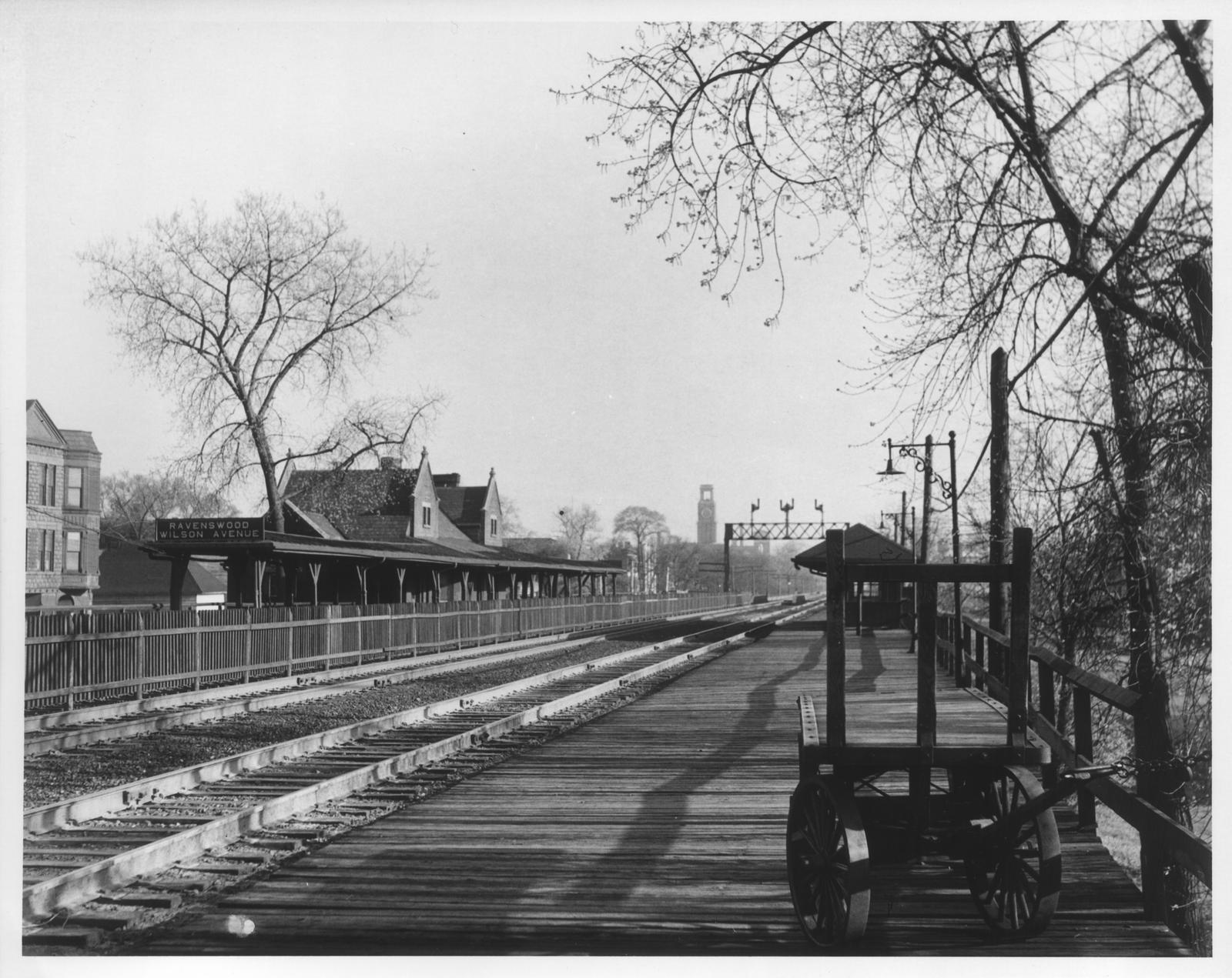
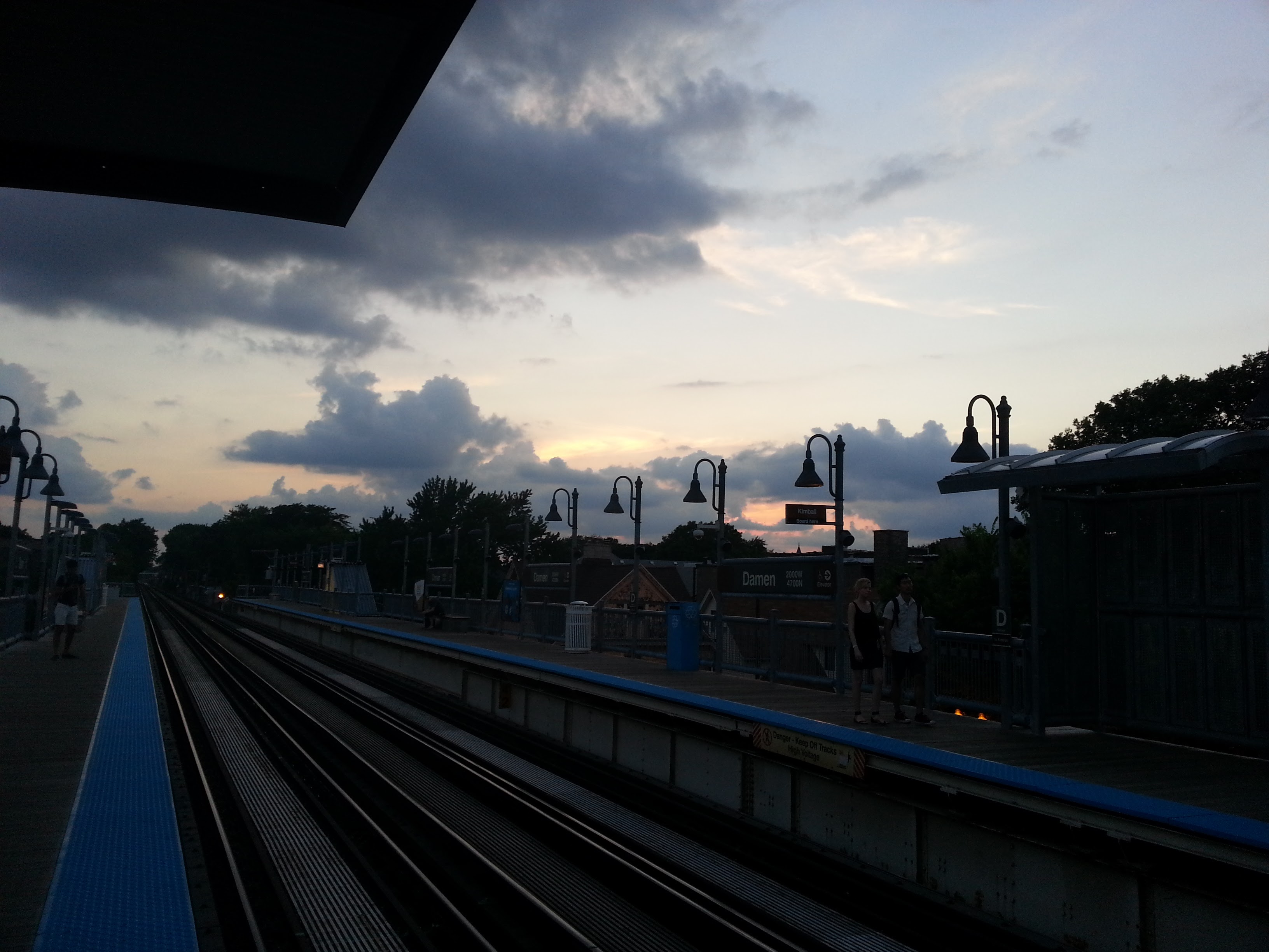
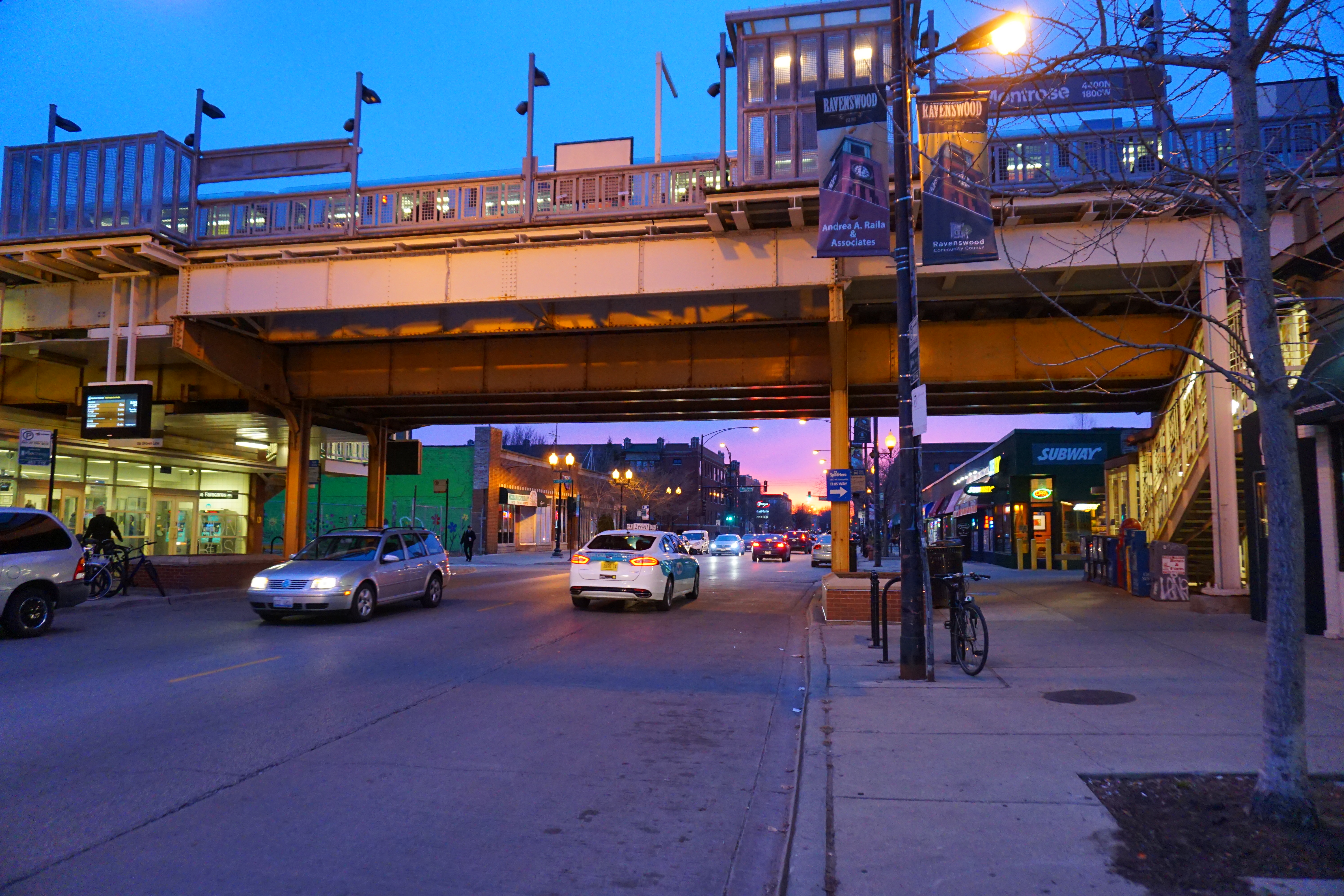
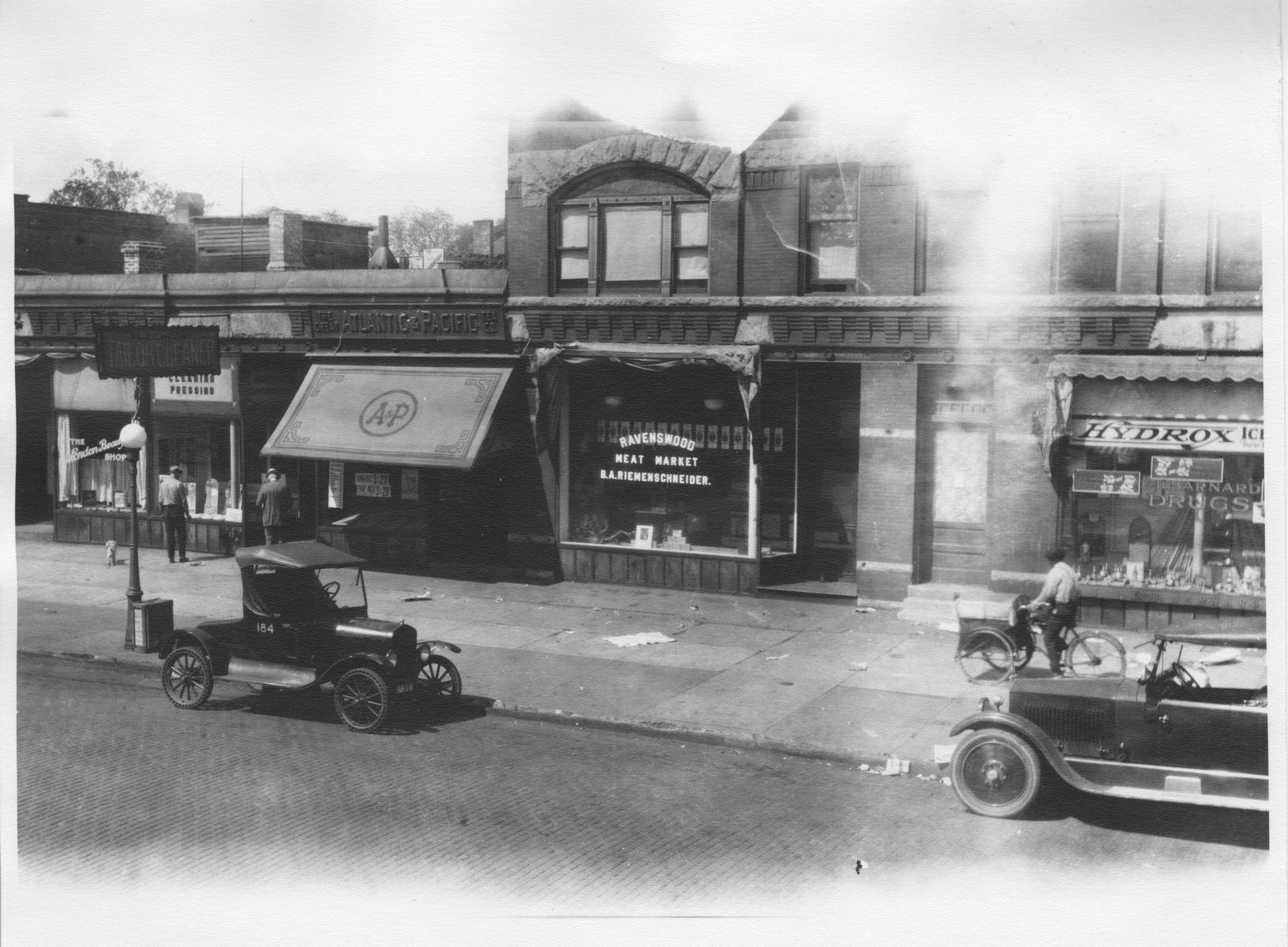
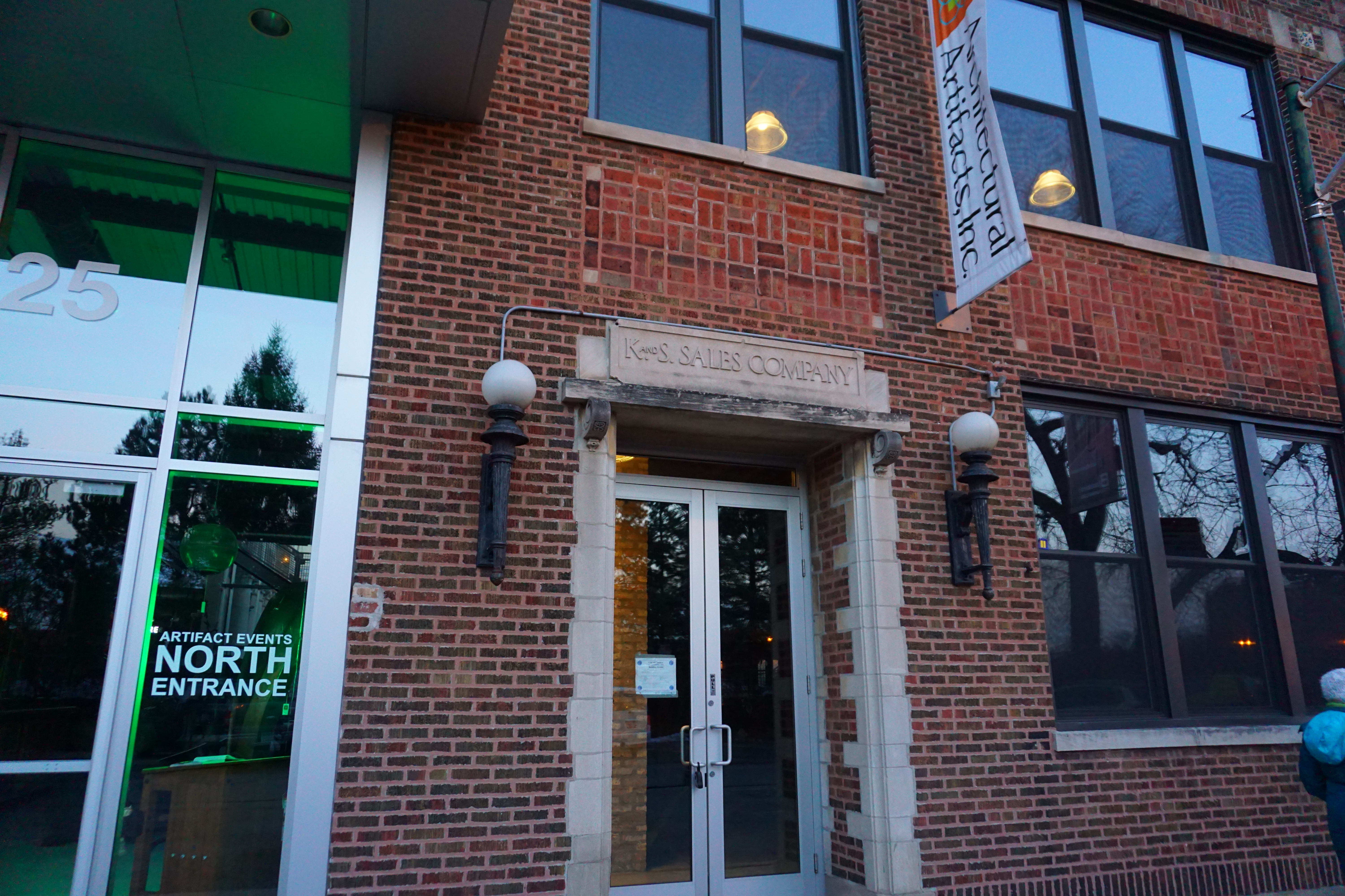

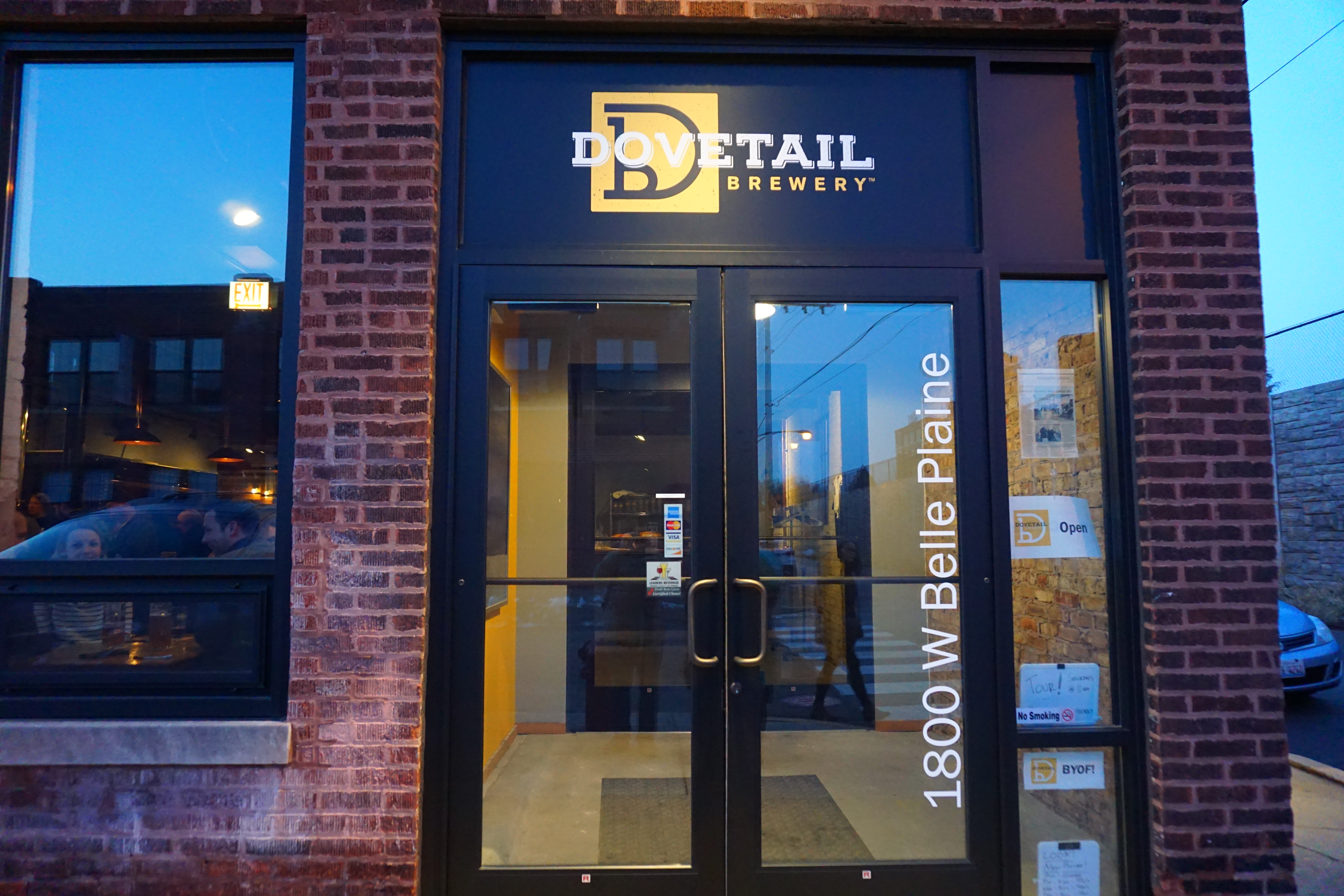
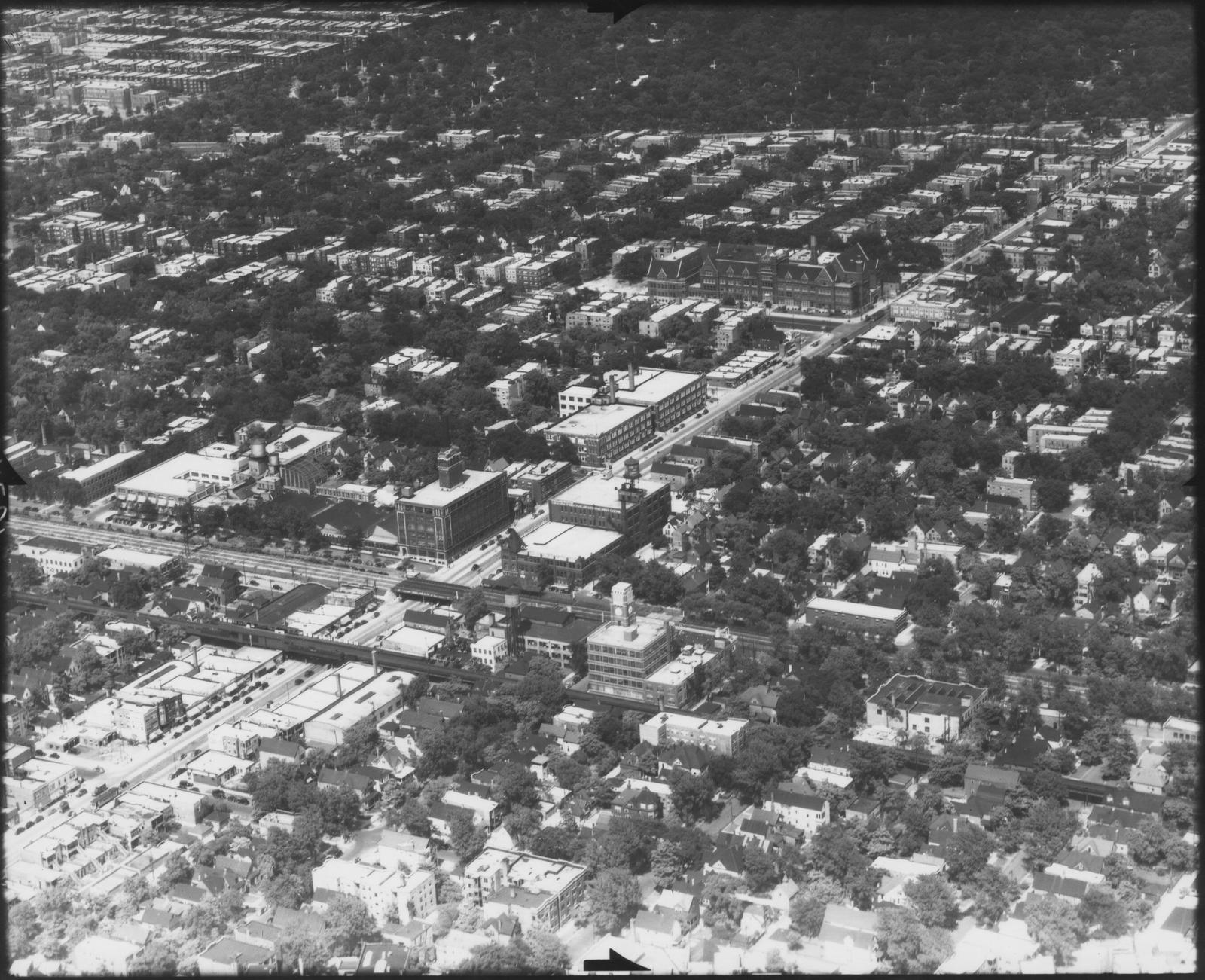
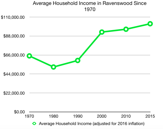

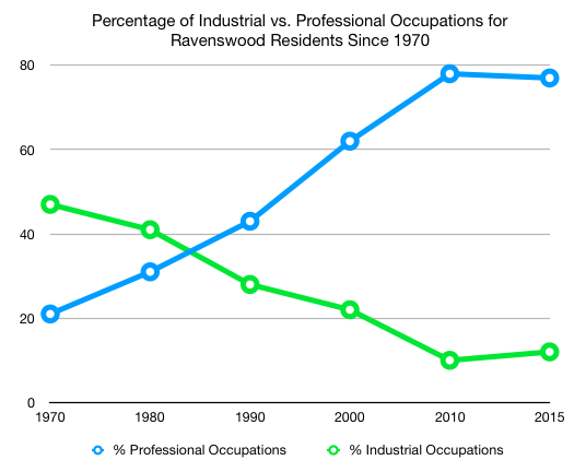
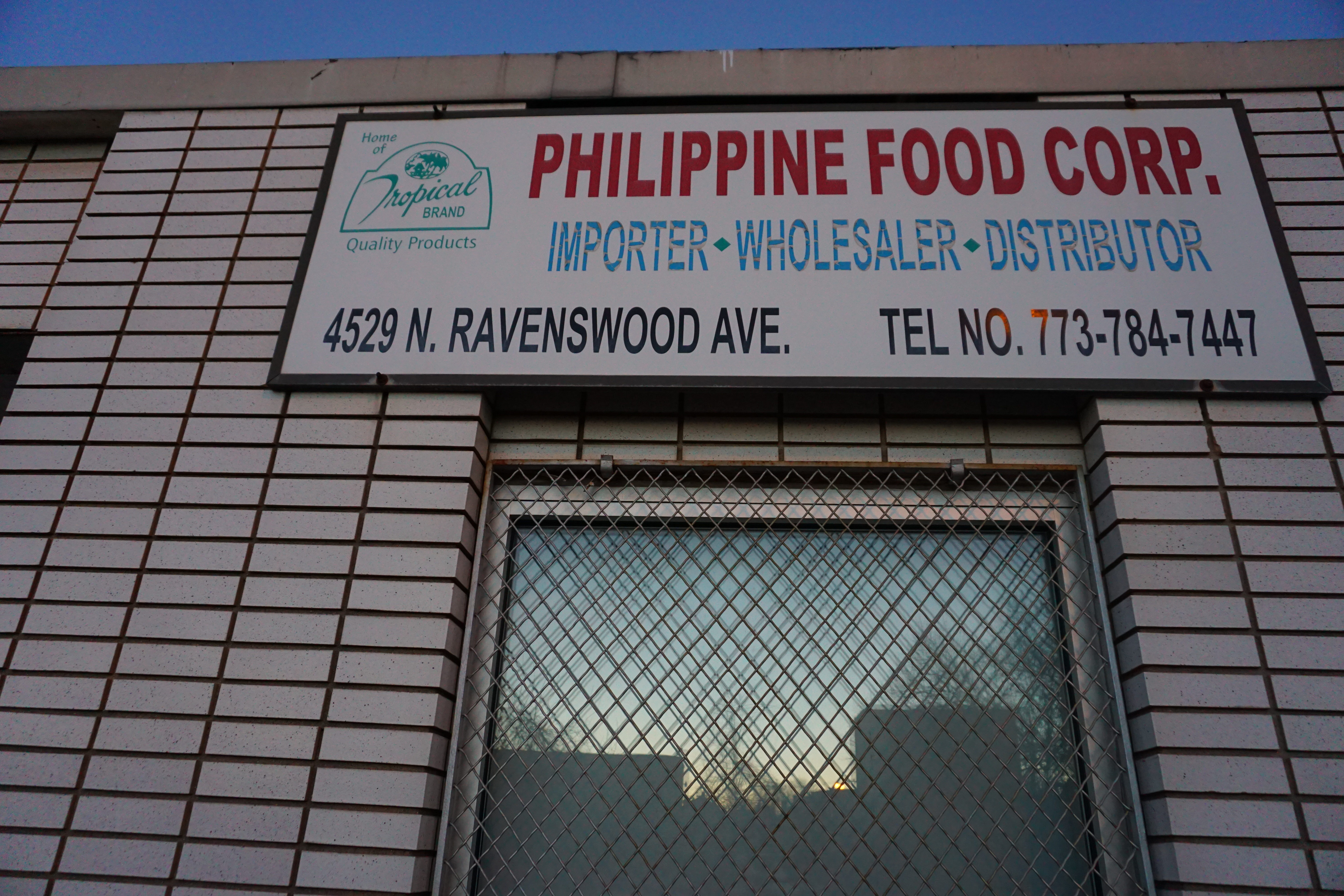
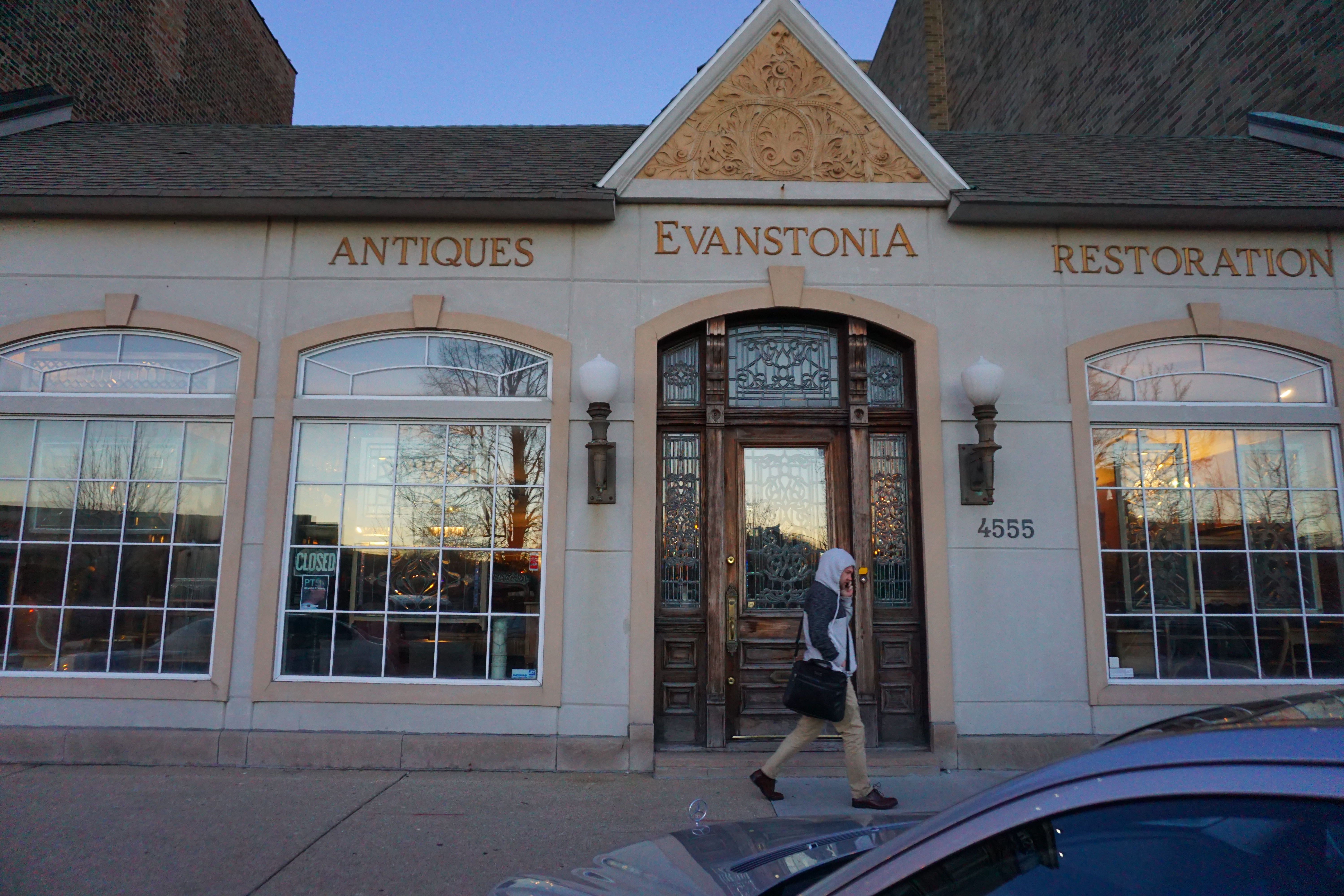
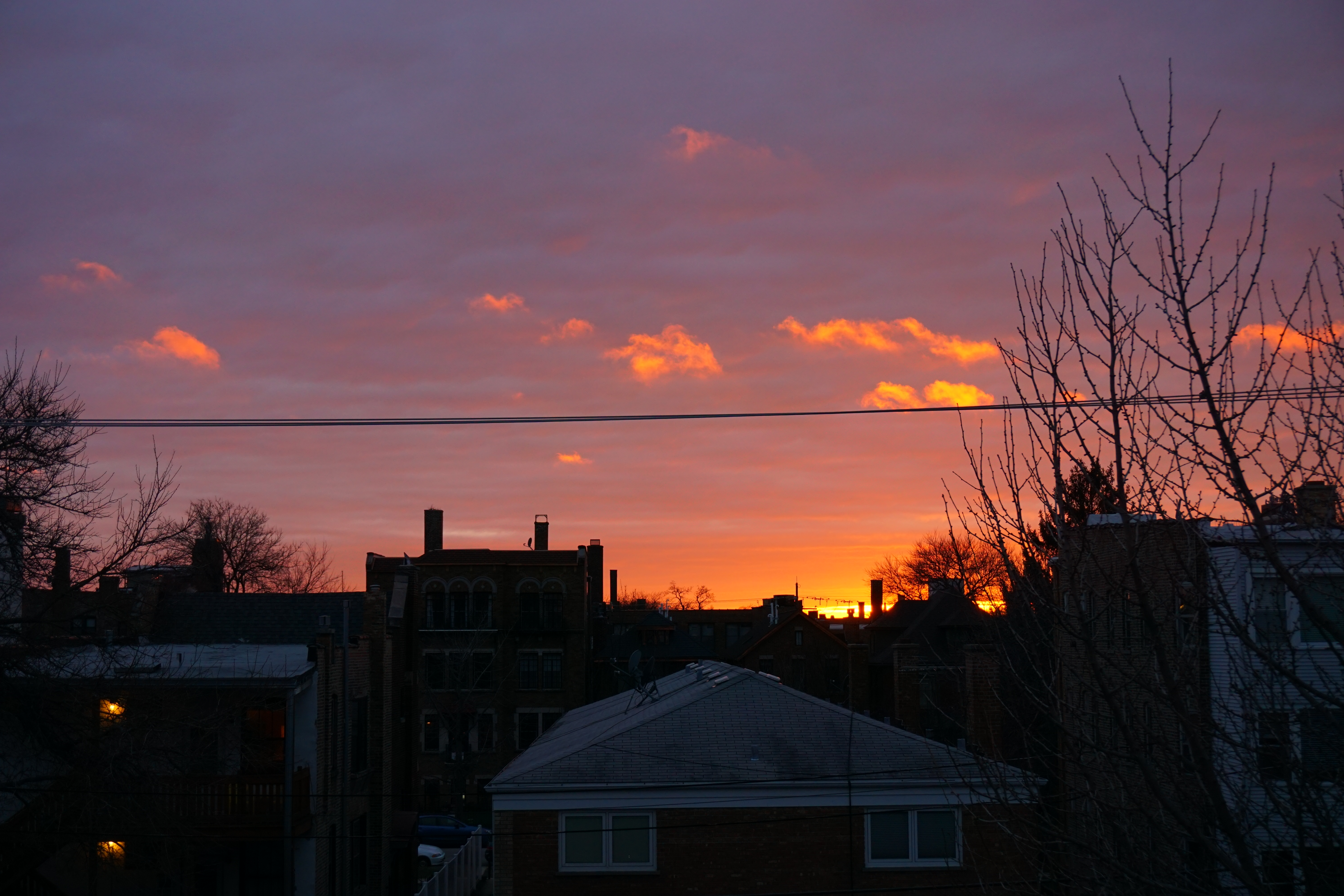
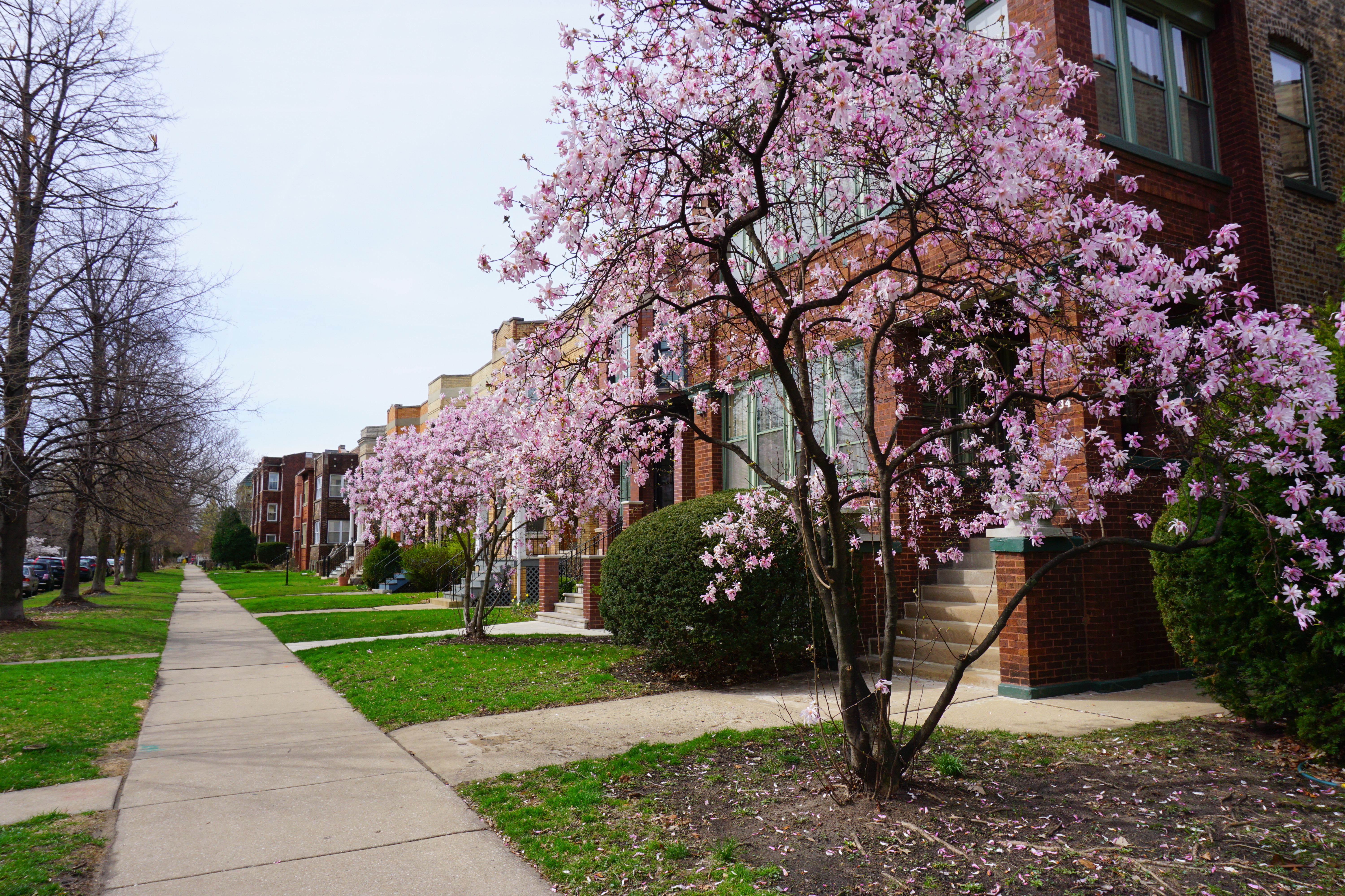
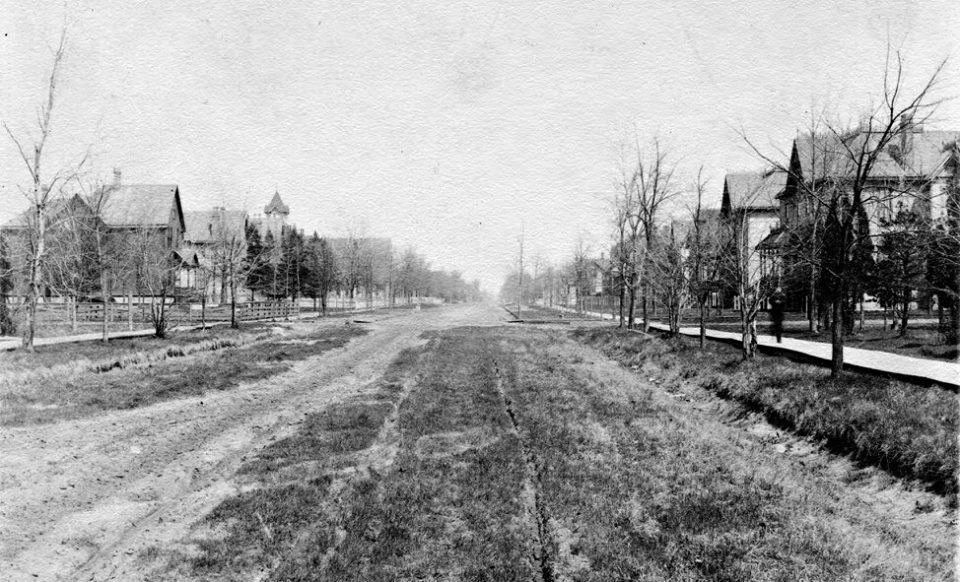


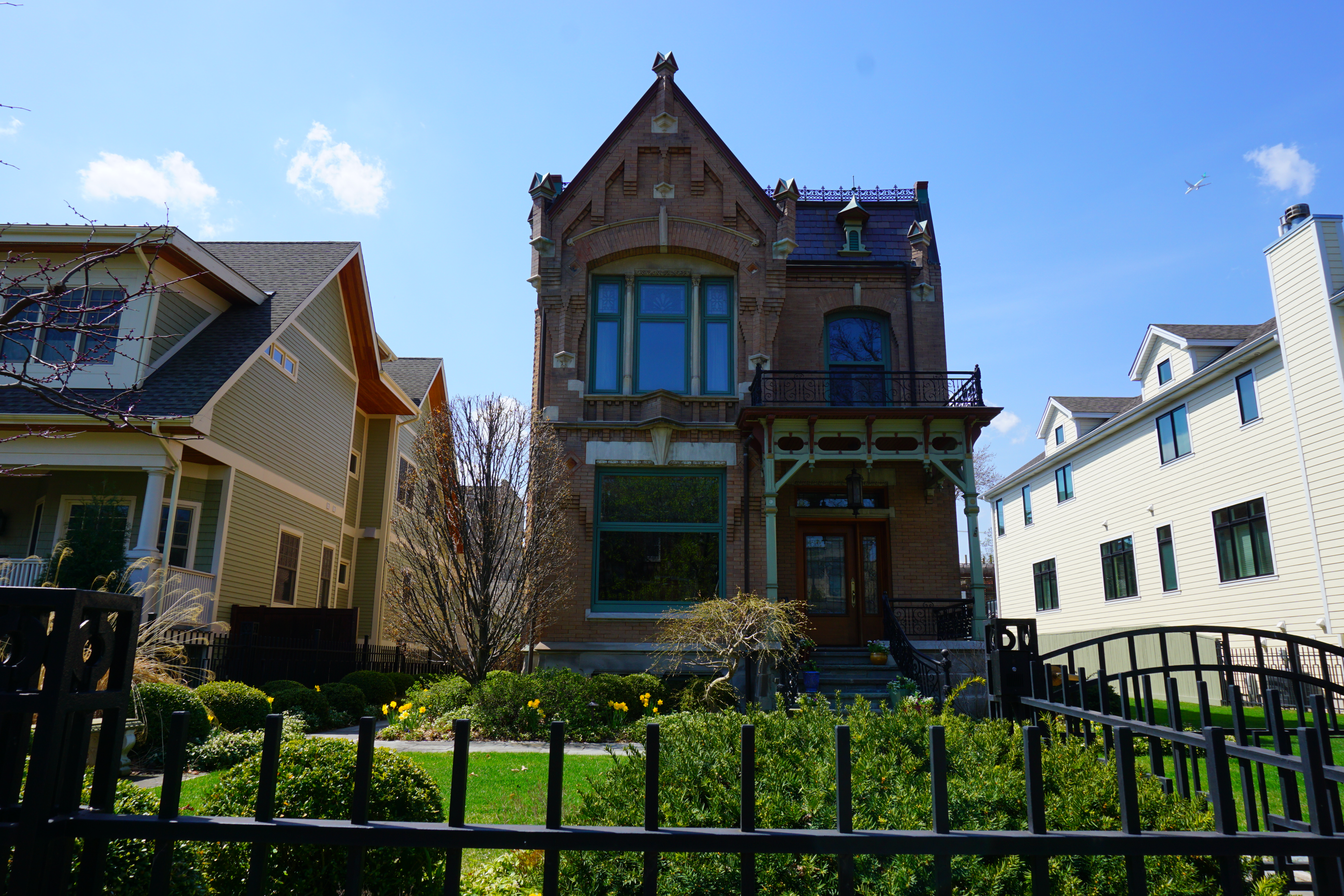


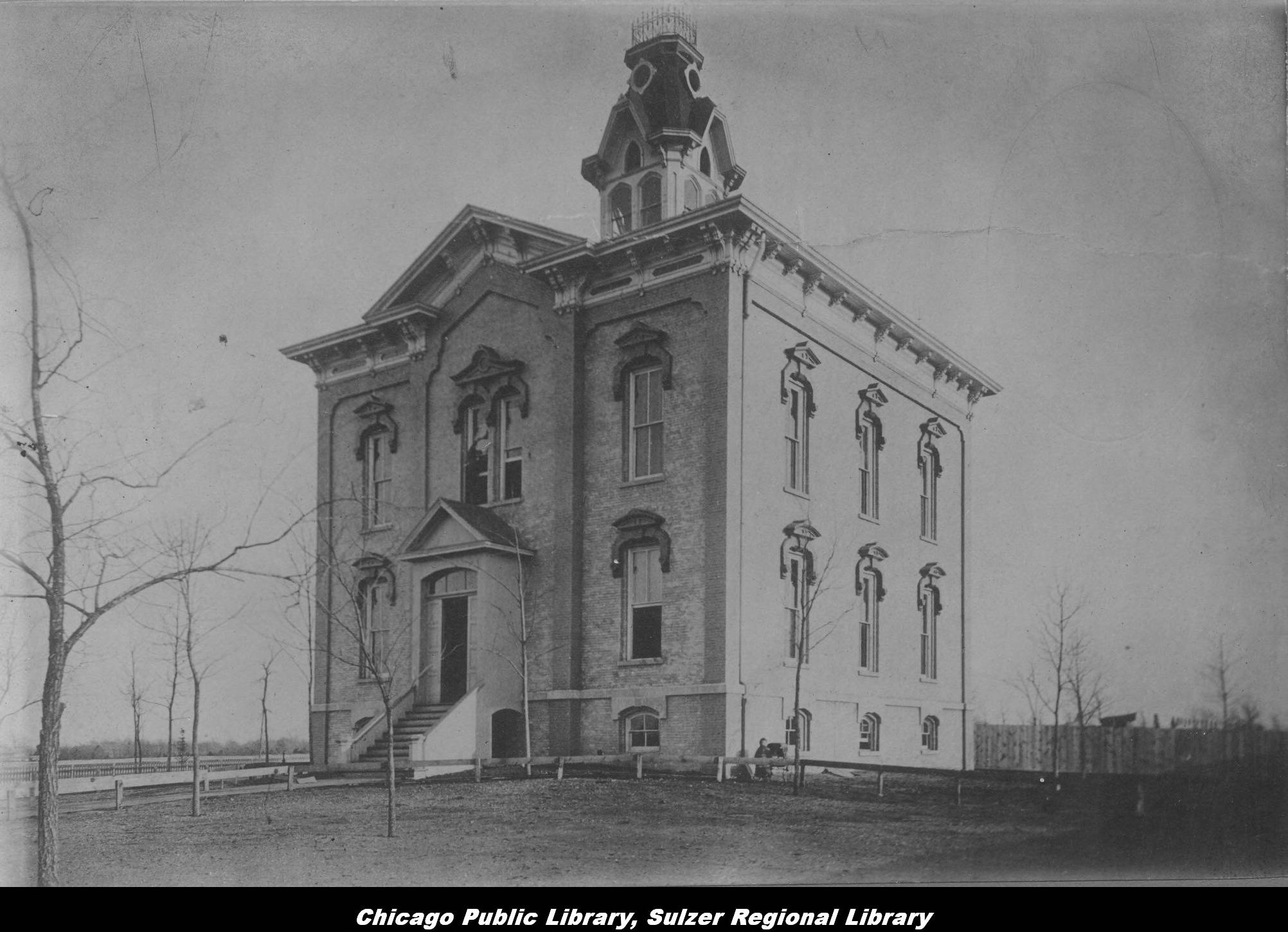
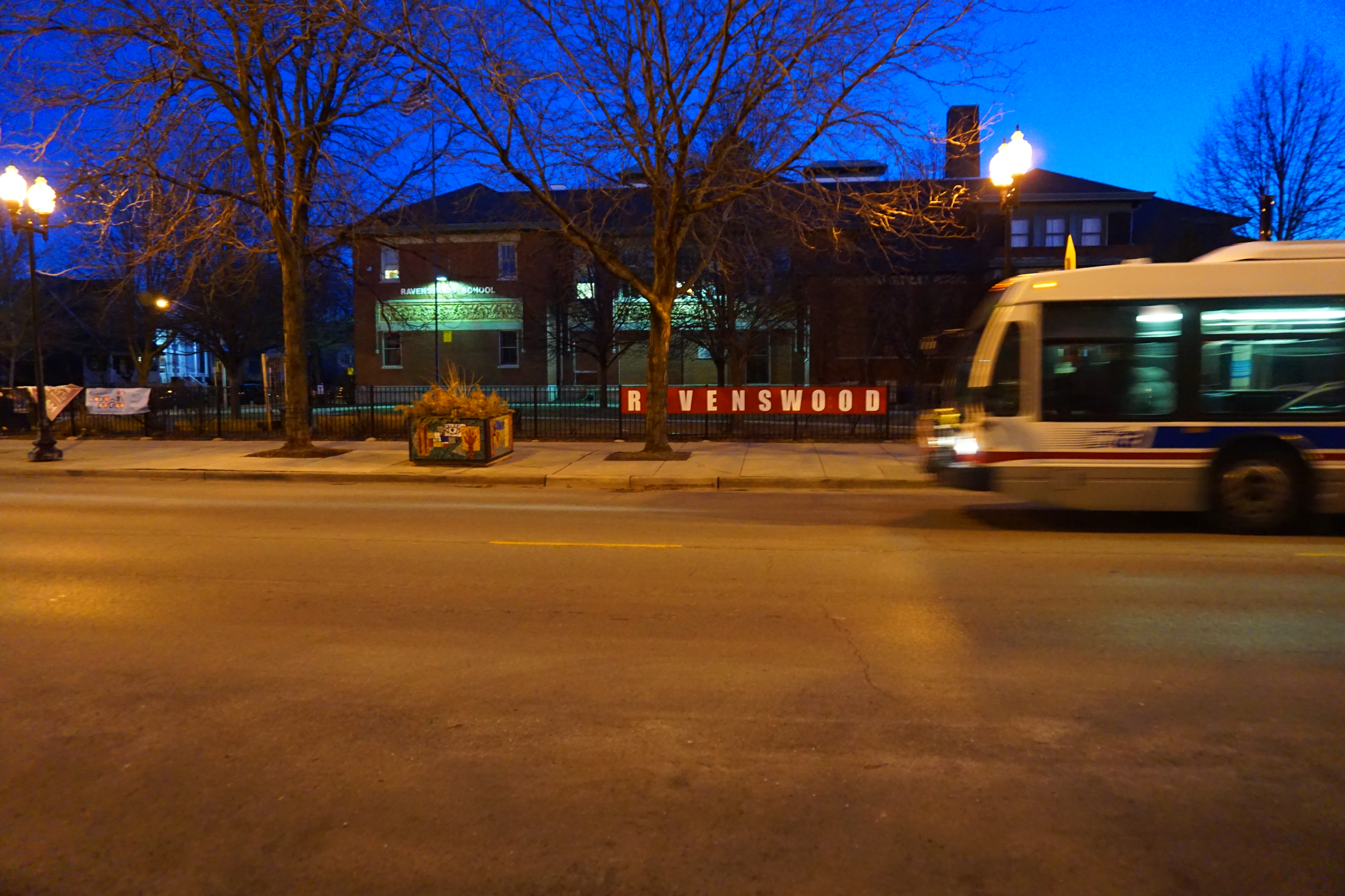

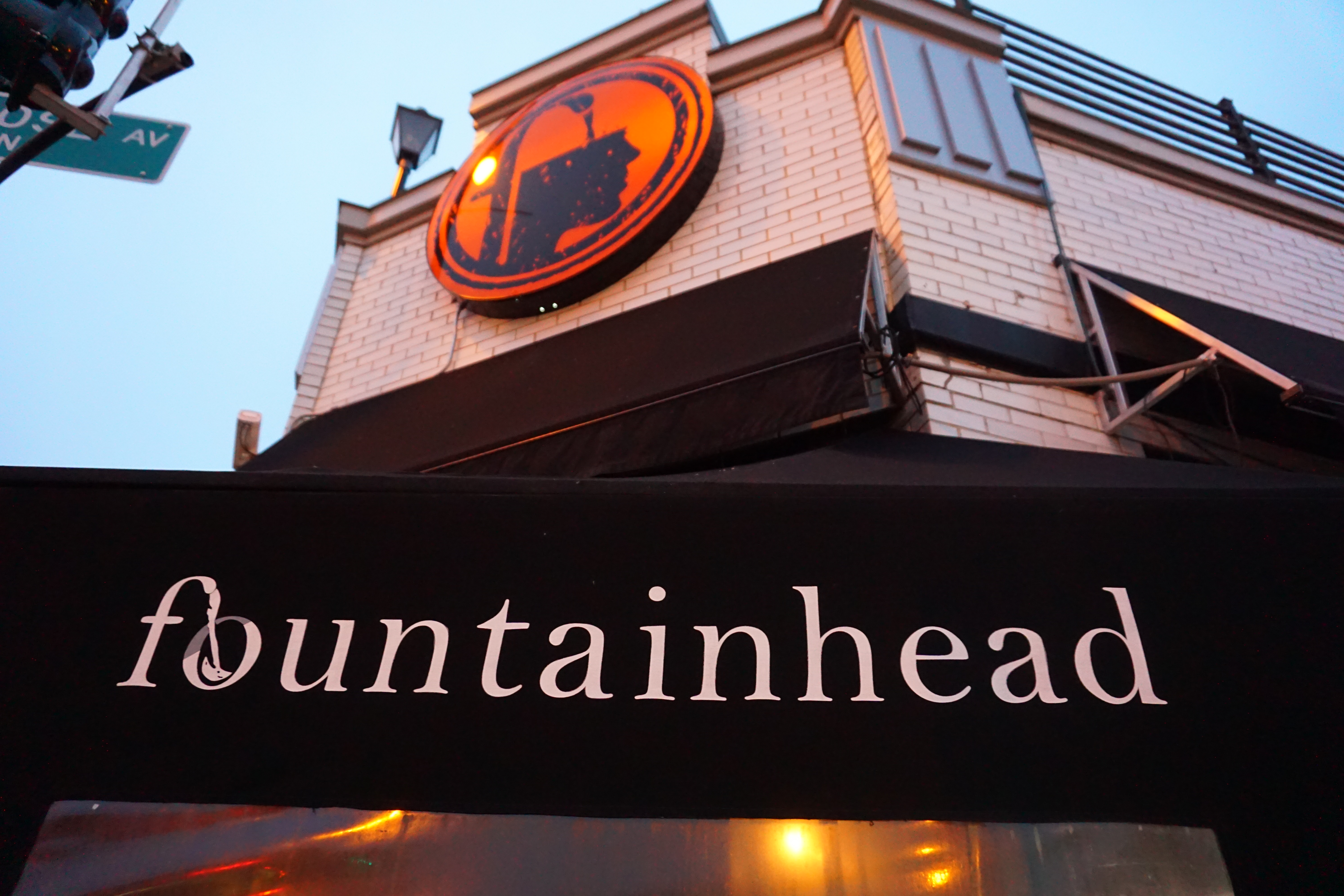
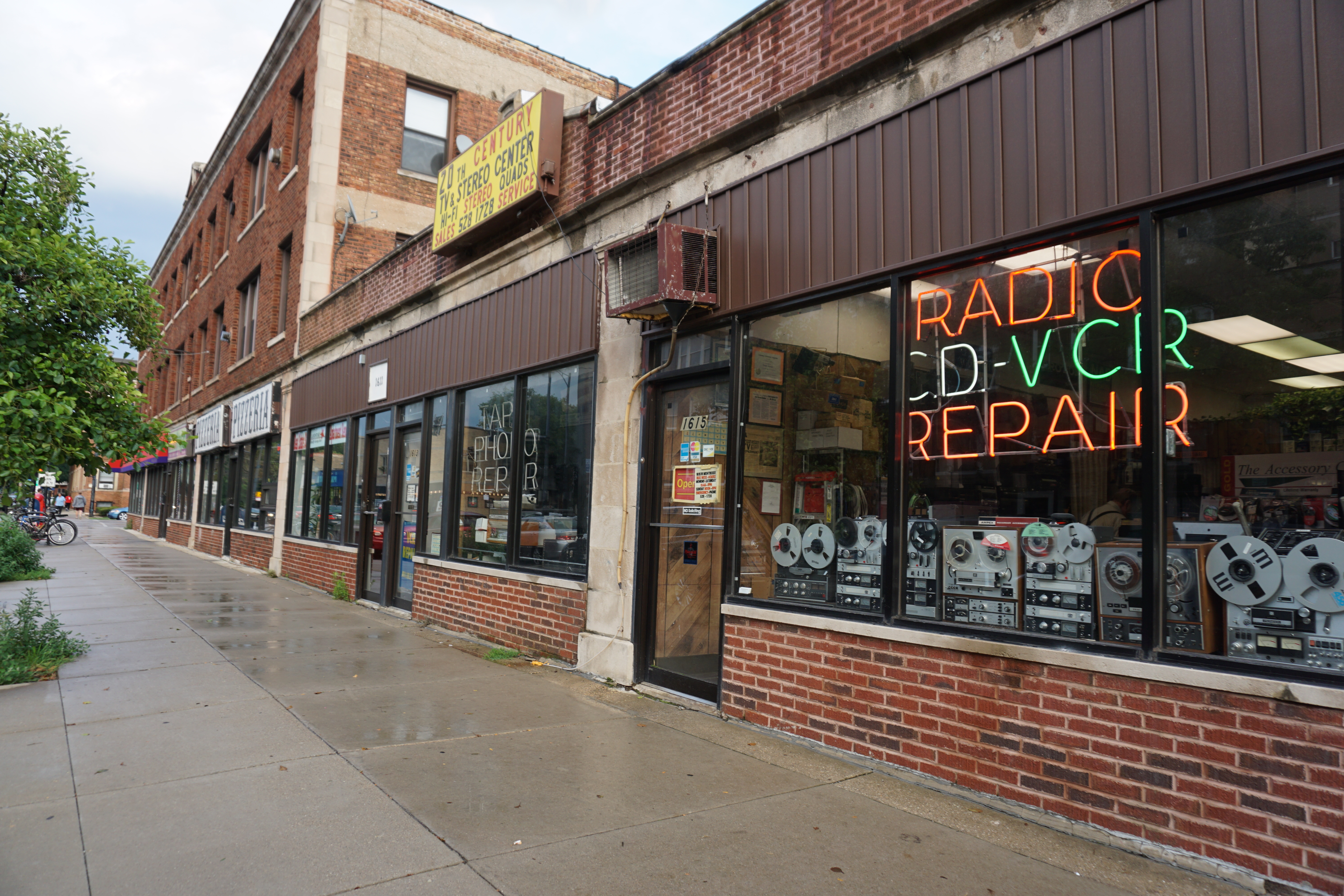
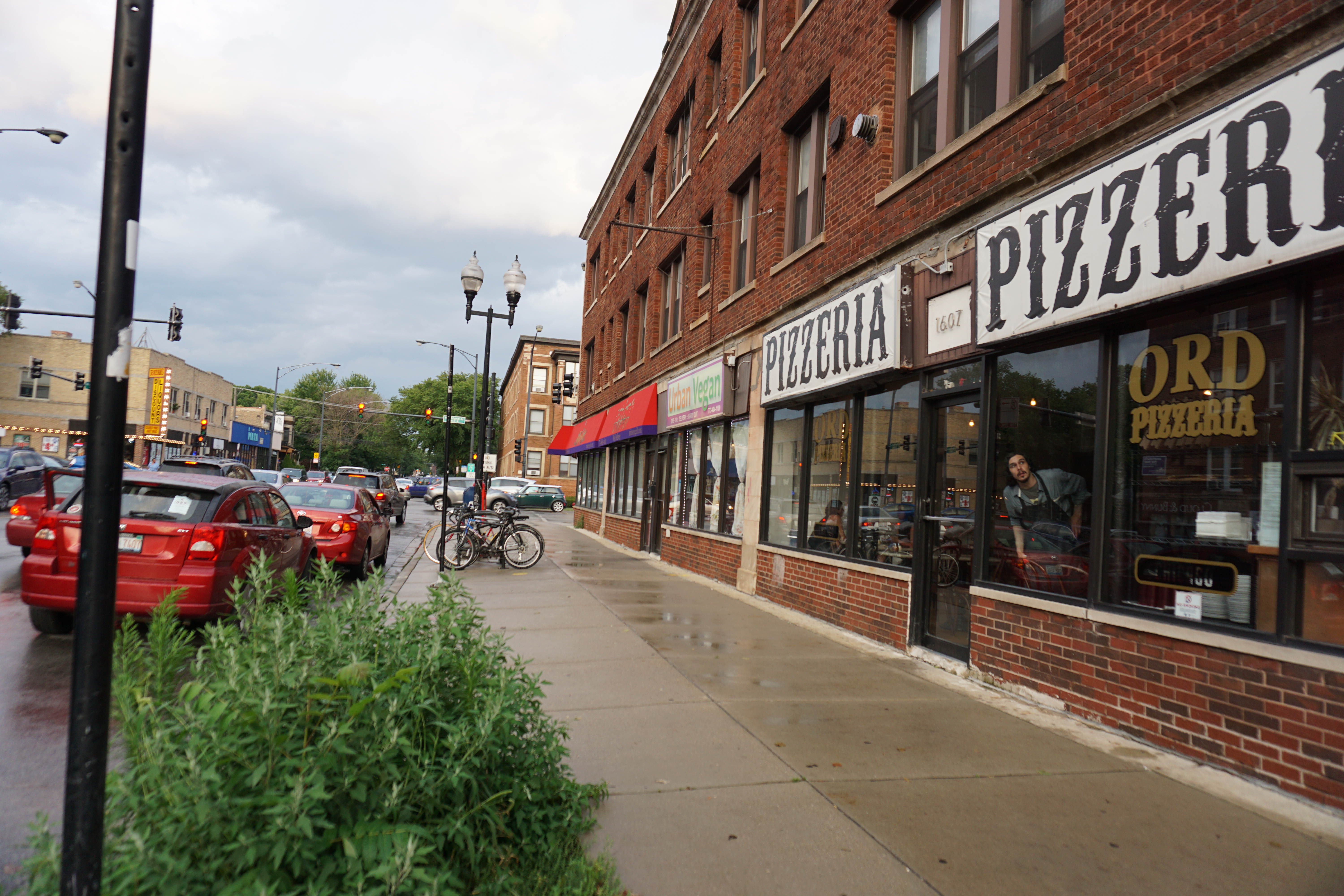
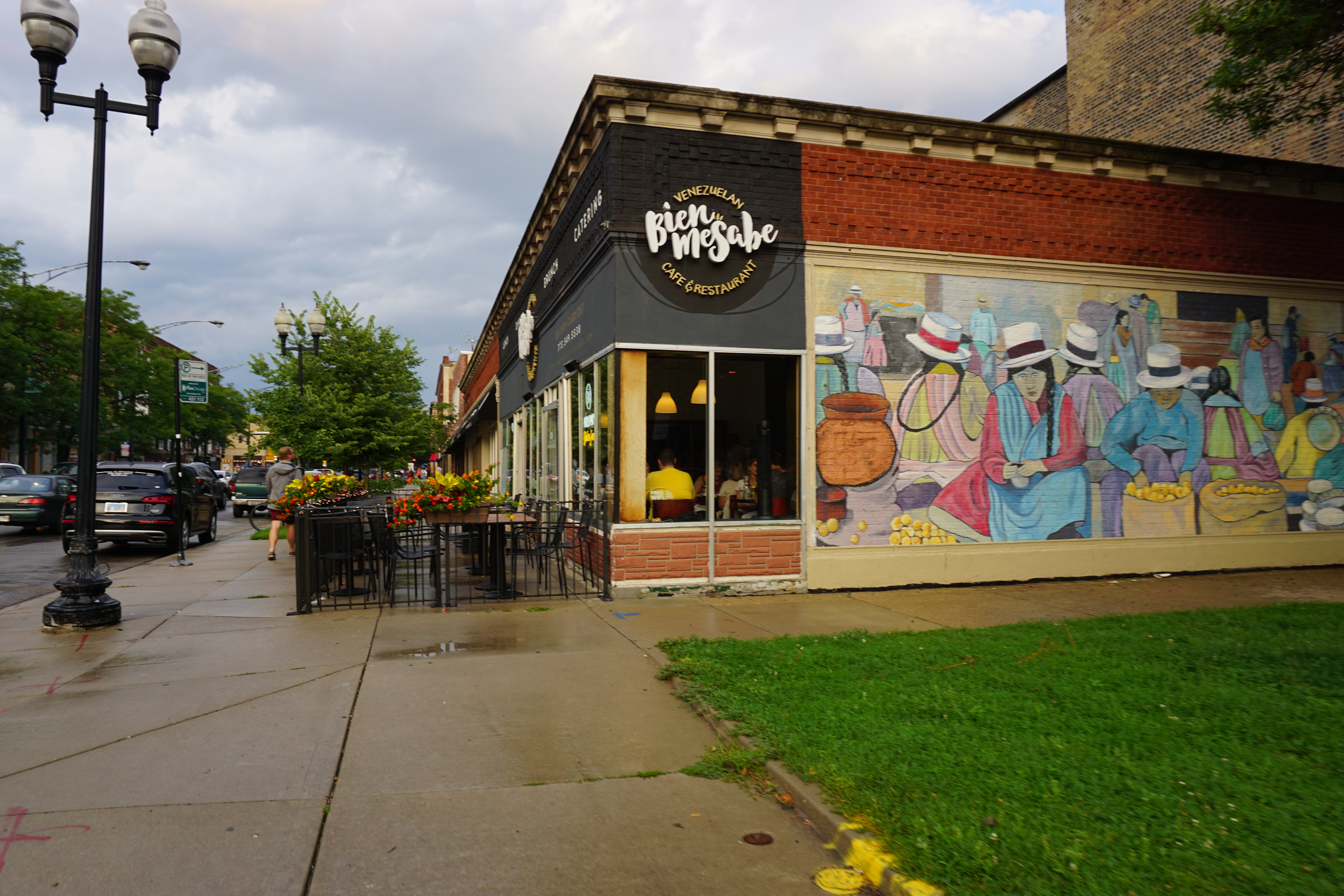

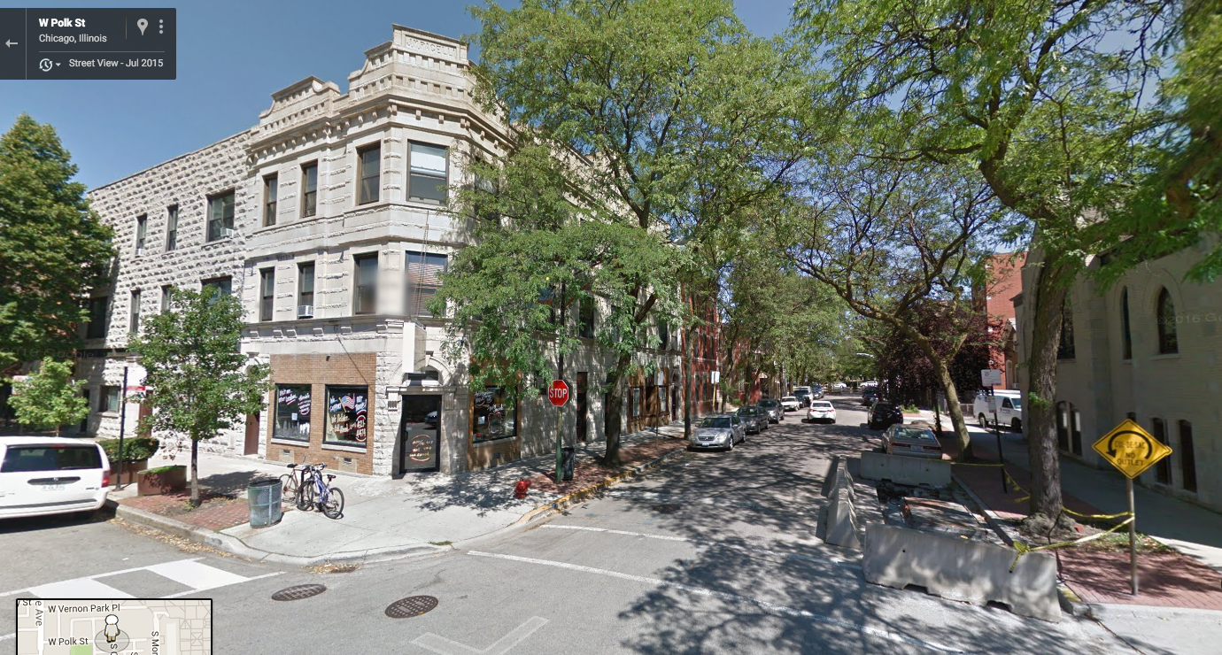
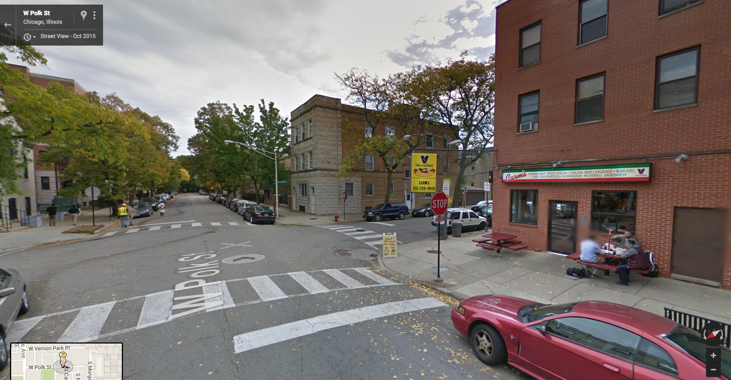

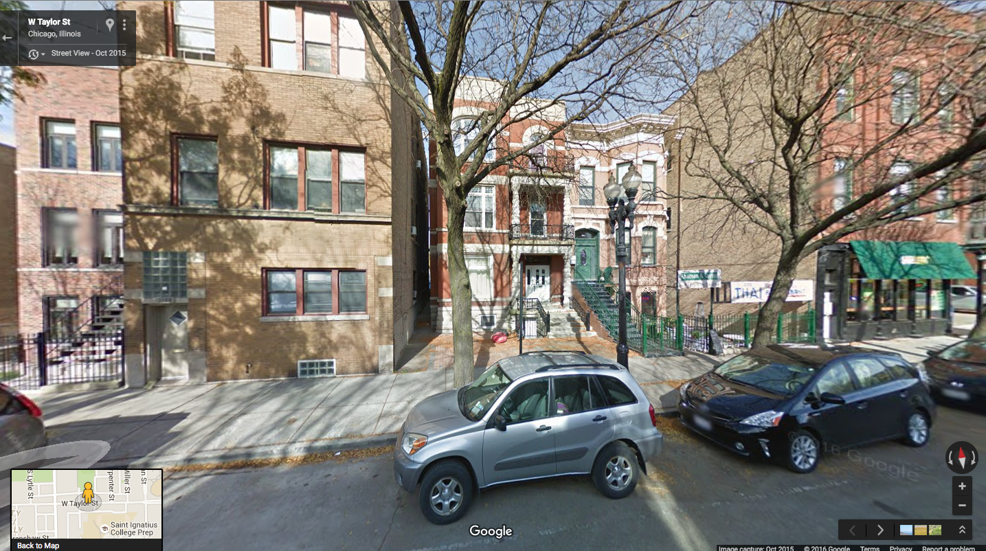

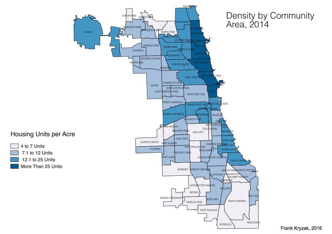
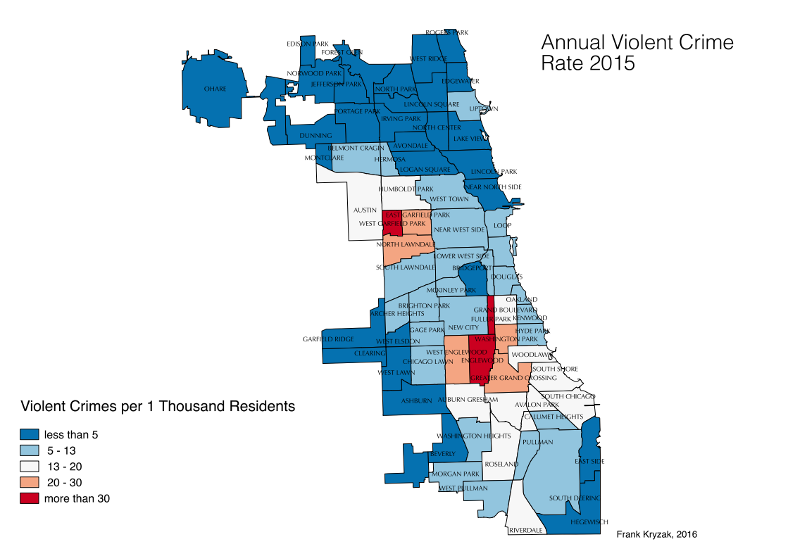

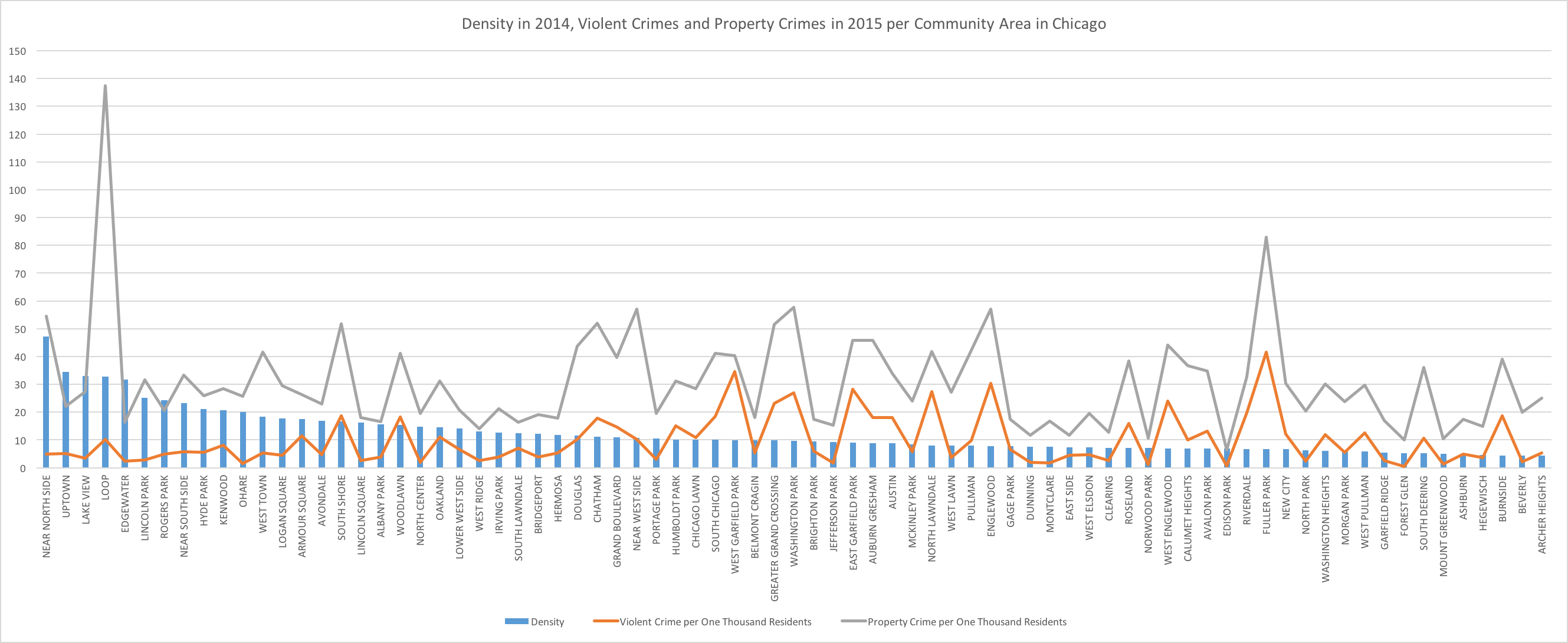
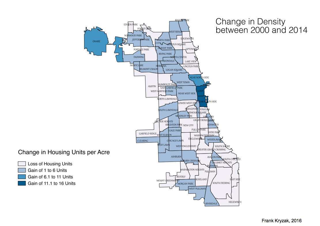
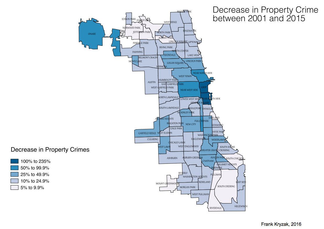
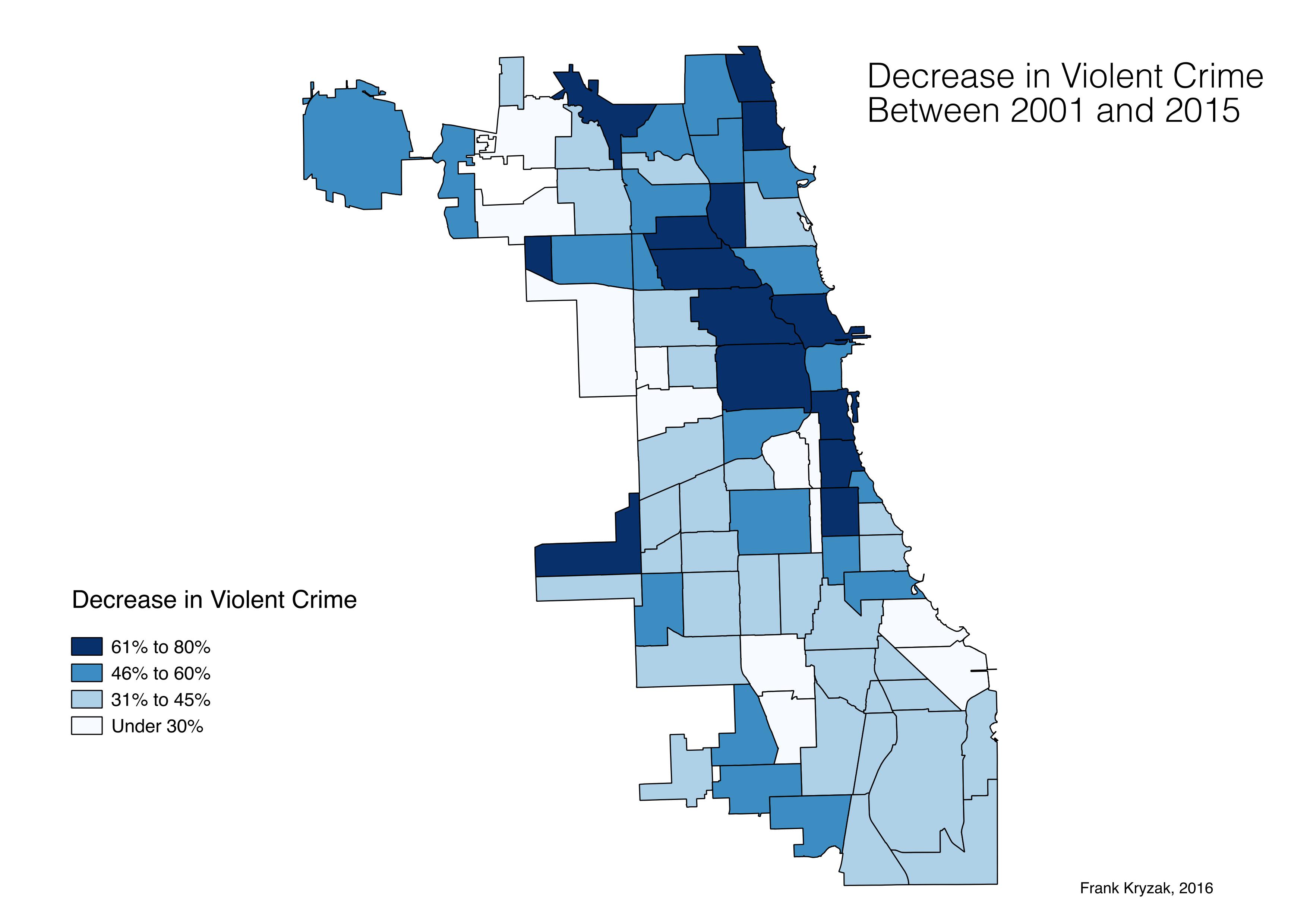


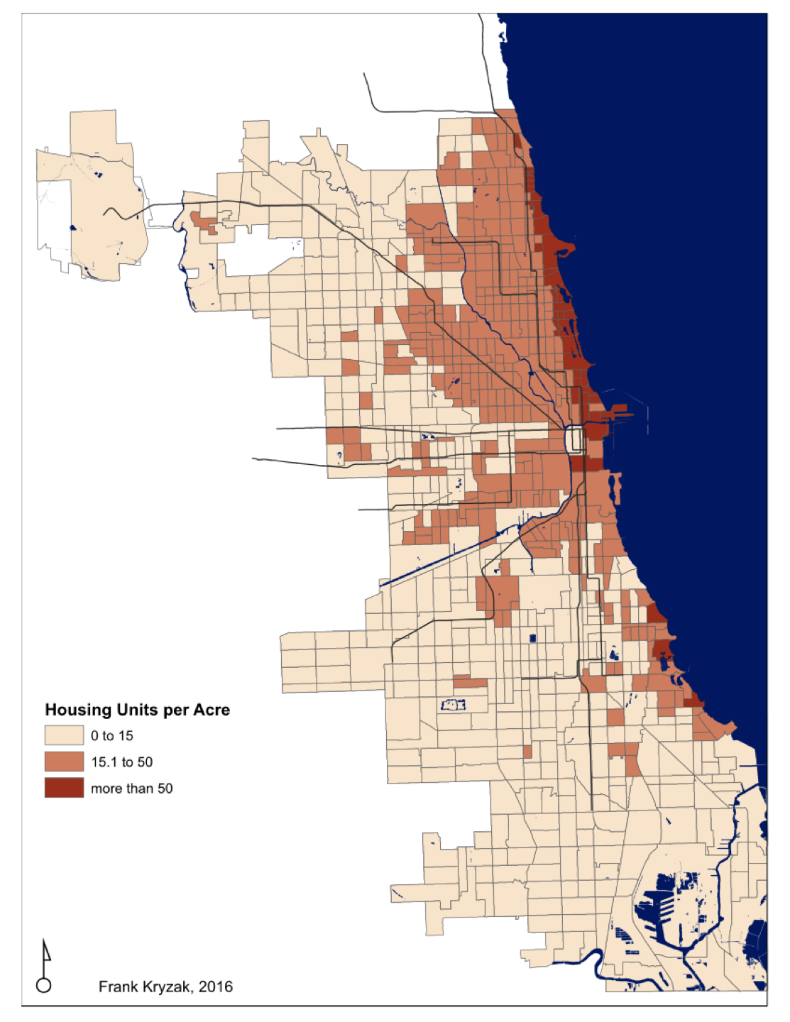
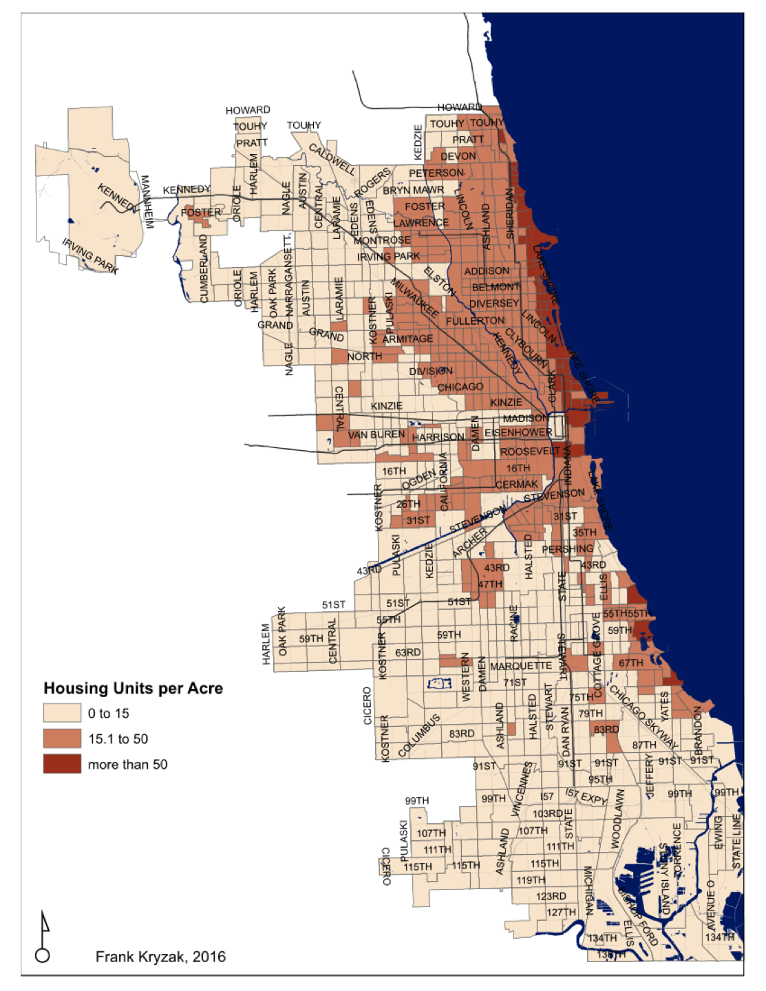

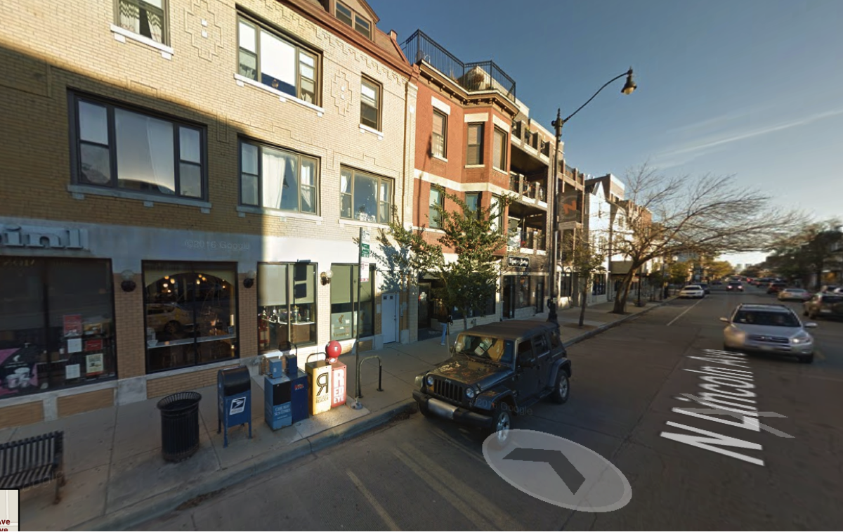
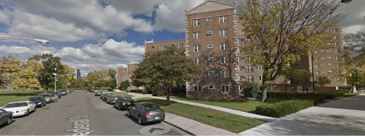

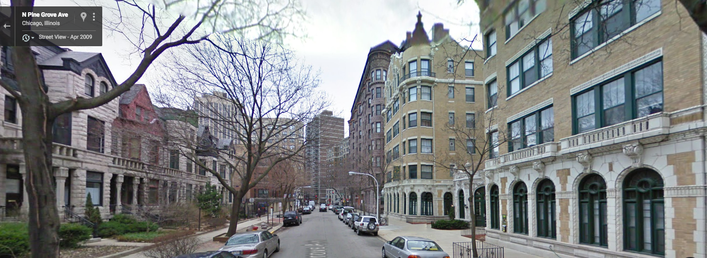
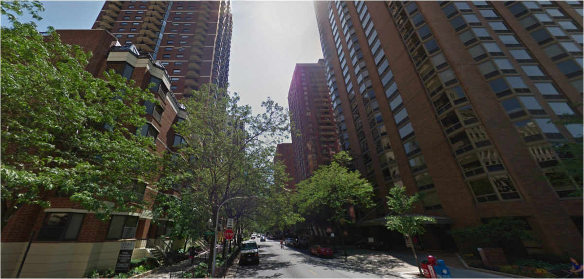
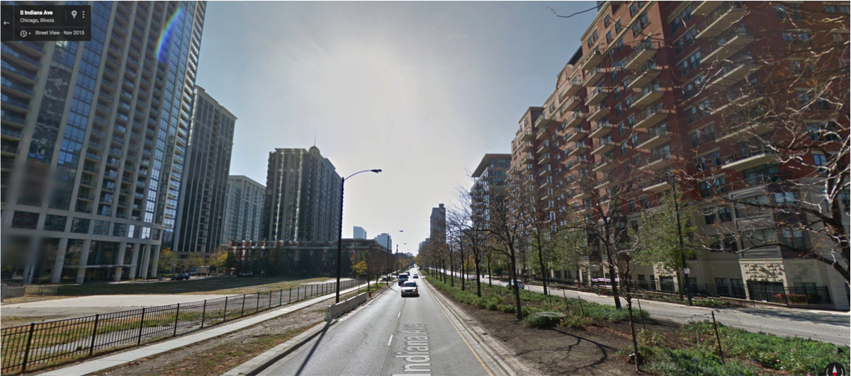
